![]()
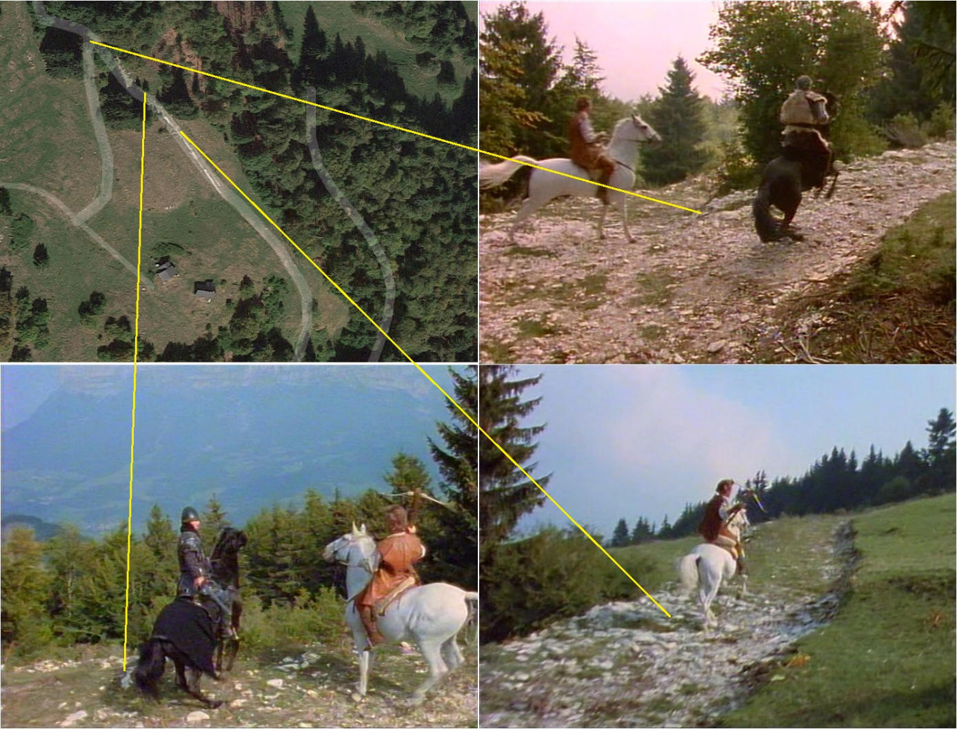
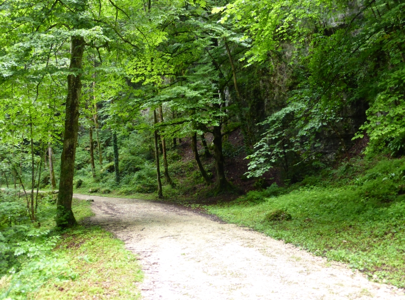
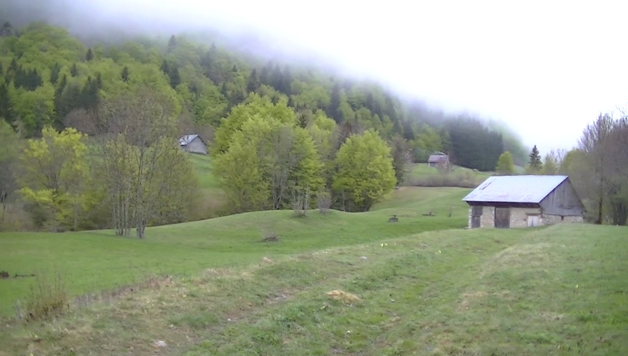
Episode 12 The Pass is shot in de the Desert, except Gaston's cave, this is in La Voie Sarde.
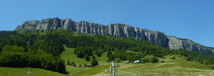
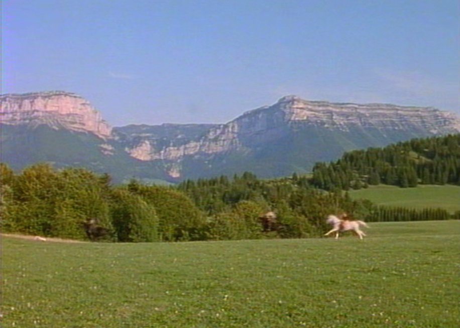
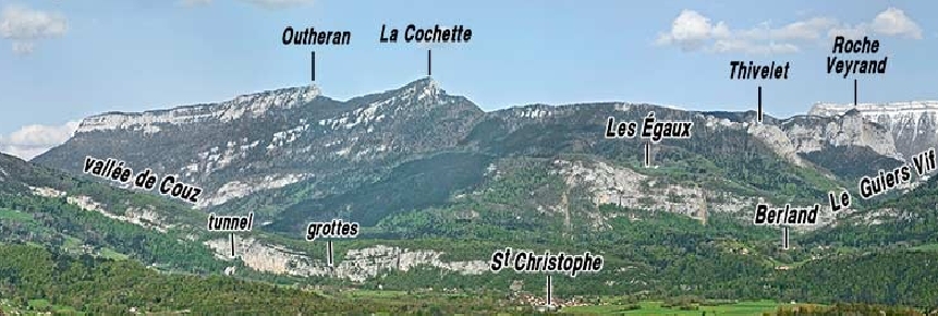
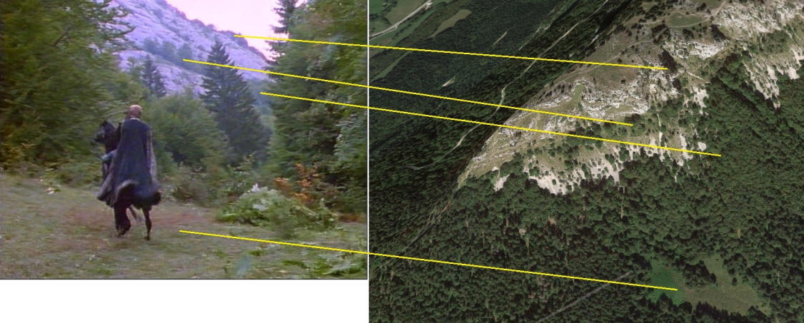
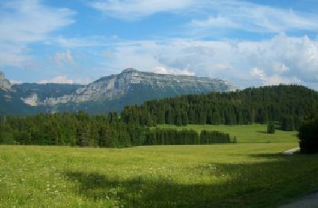
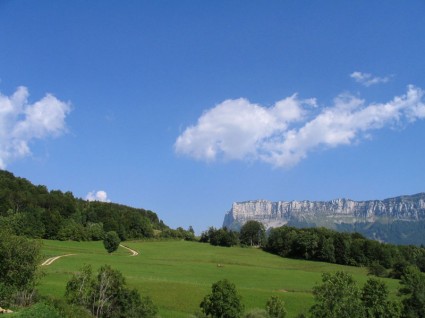
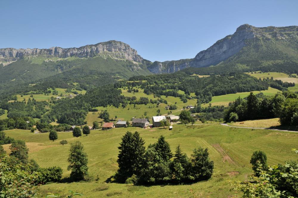
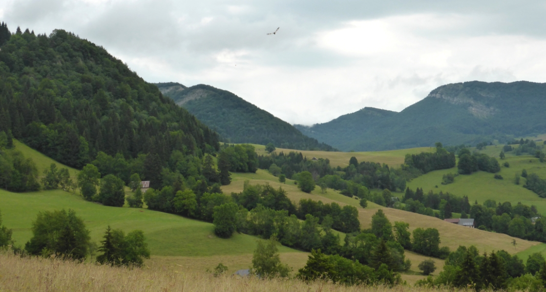
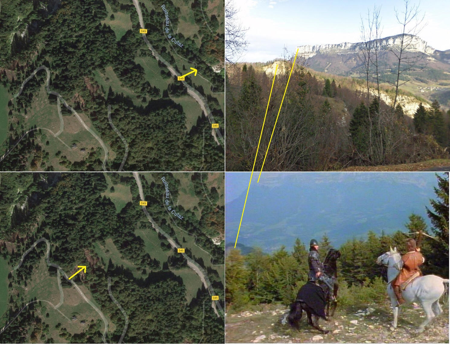
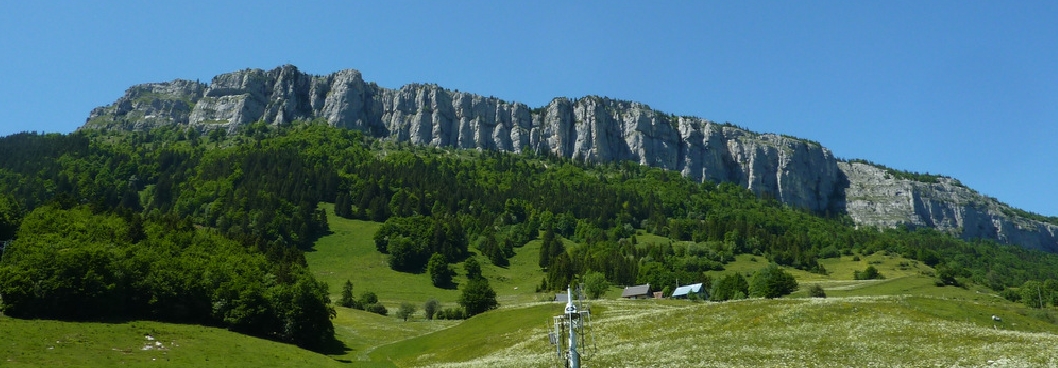
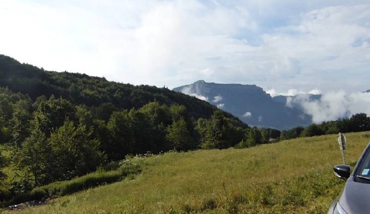
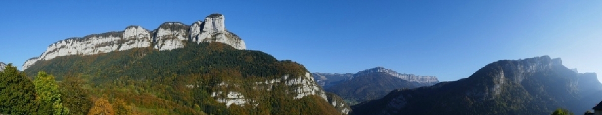
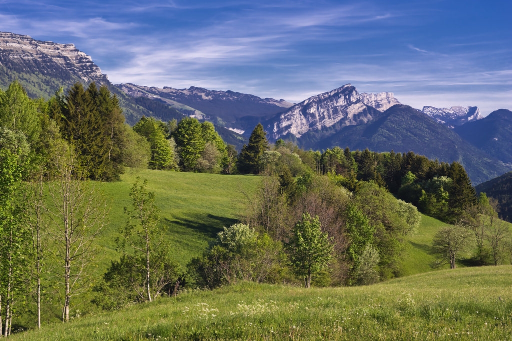
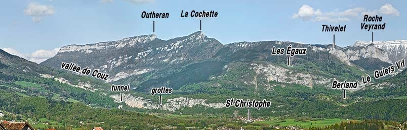
Mont l'Outeran on the right Mont Granier on the left. These mountains enclose Le desert d'Entremont.
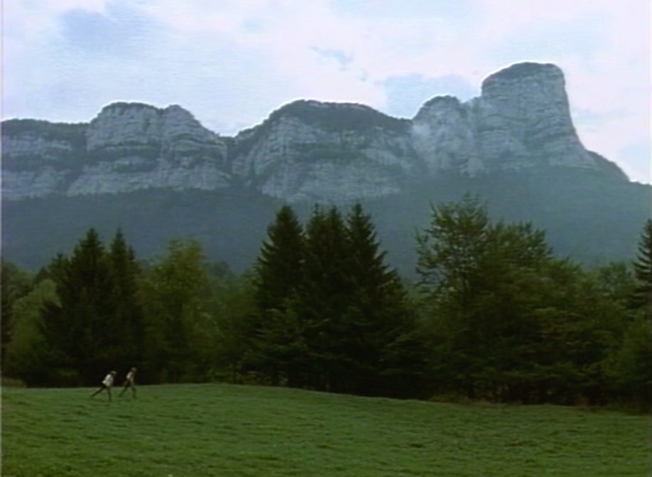
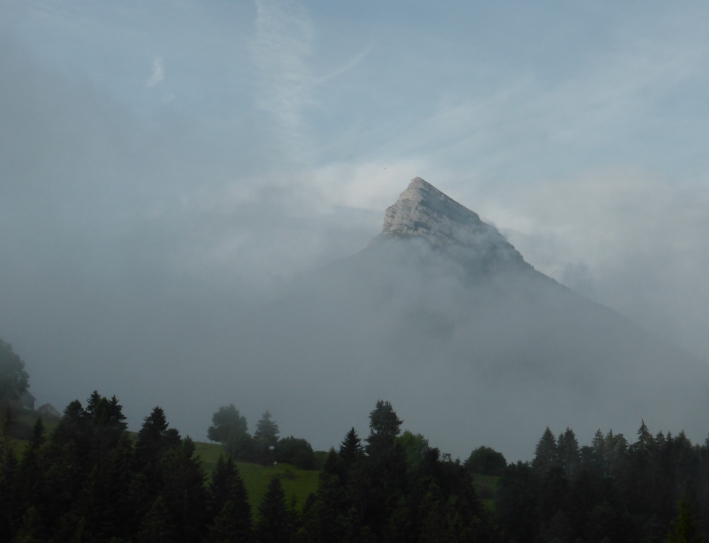
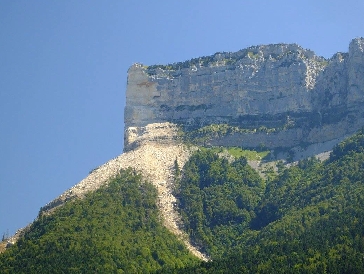
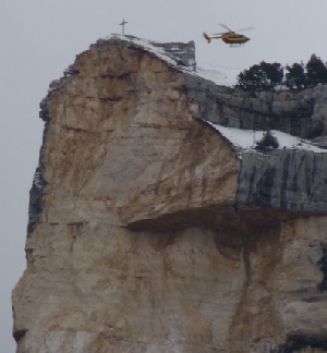
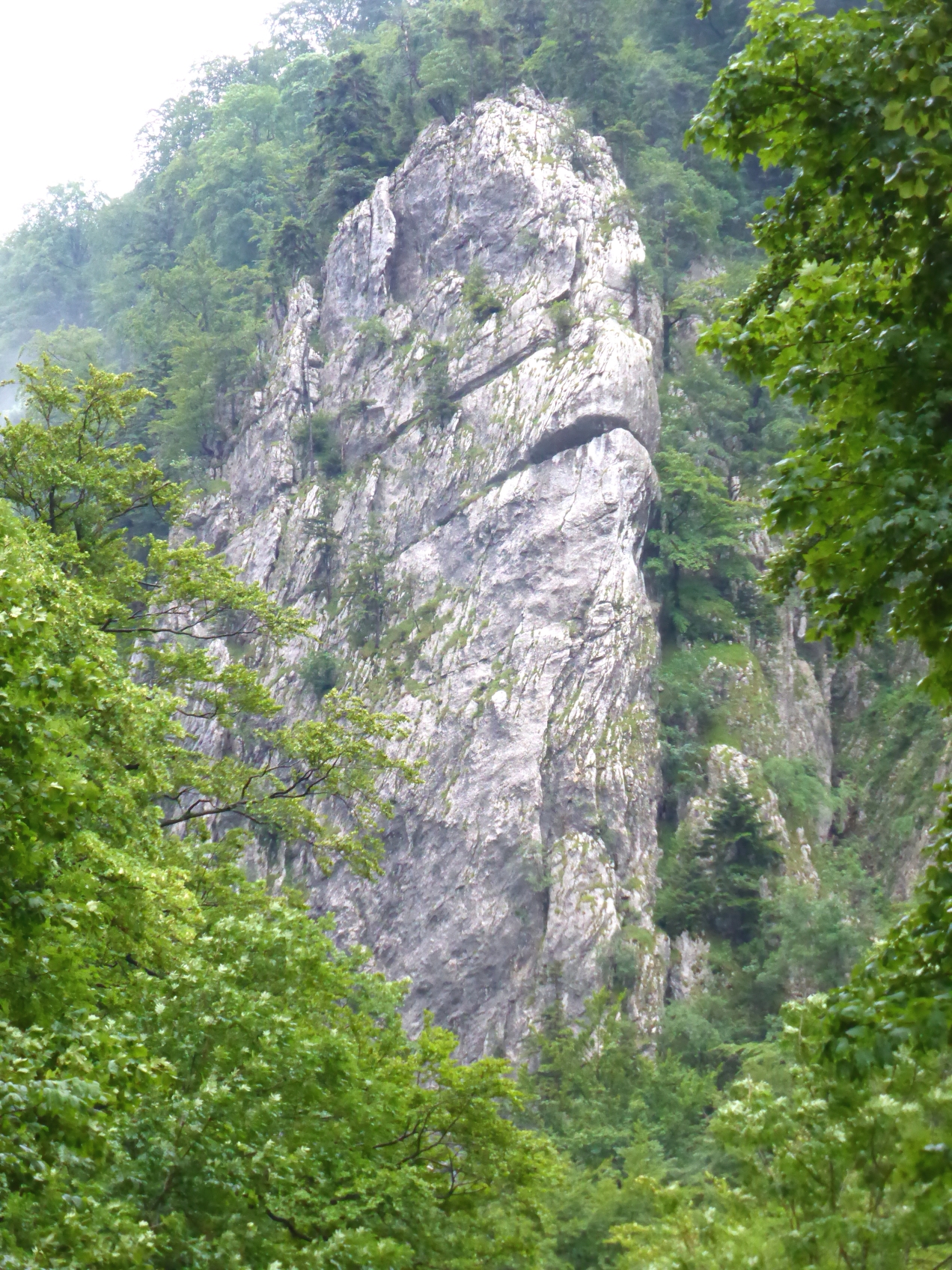
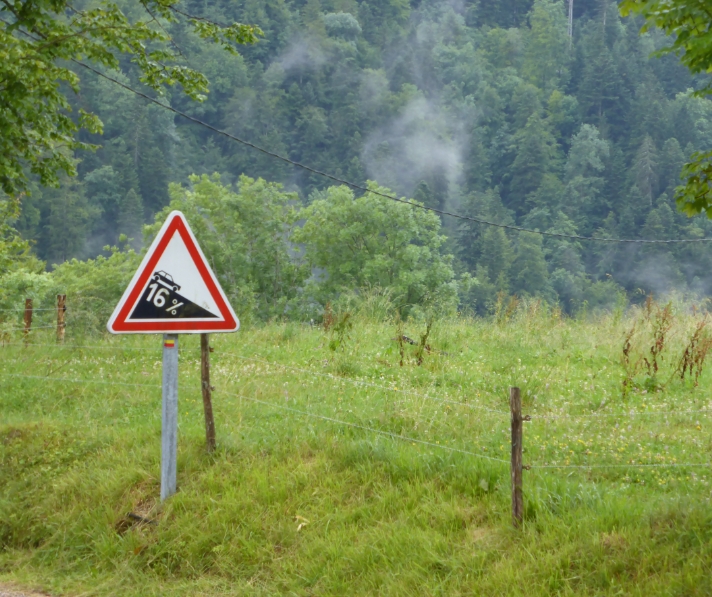
1986 Mont Granier 2015 2016 Mont Granier
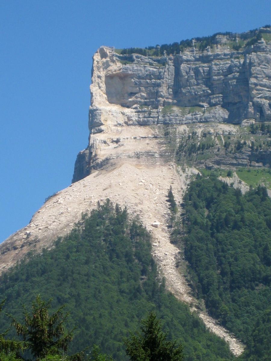
Mont Granier
You can recognize Mont Granier by the ski slope behind Tyroll. The development of skiing in the valley of Entremont developed from 1968 with the setting up
of a bottom fireplace in the Desert of Entremont. The installations at the Granier pass are installed some time afterwards. Since 2016 a part of the north edge broke off.
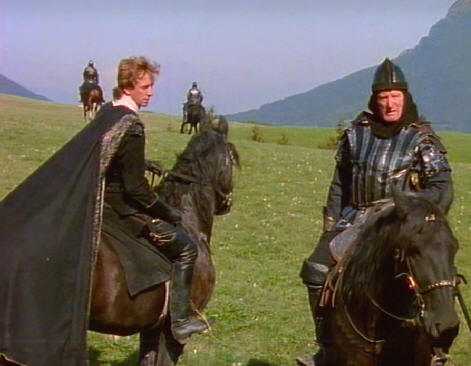
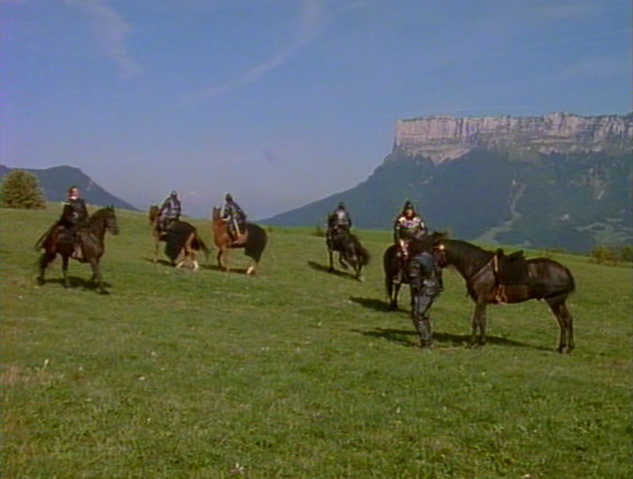
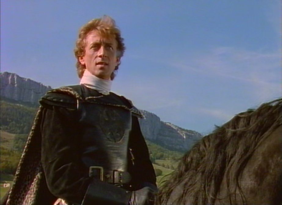
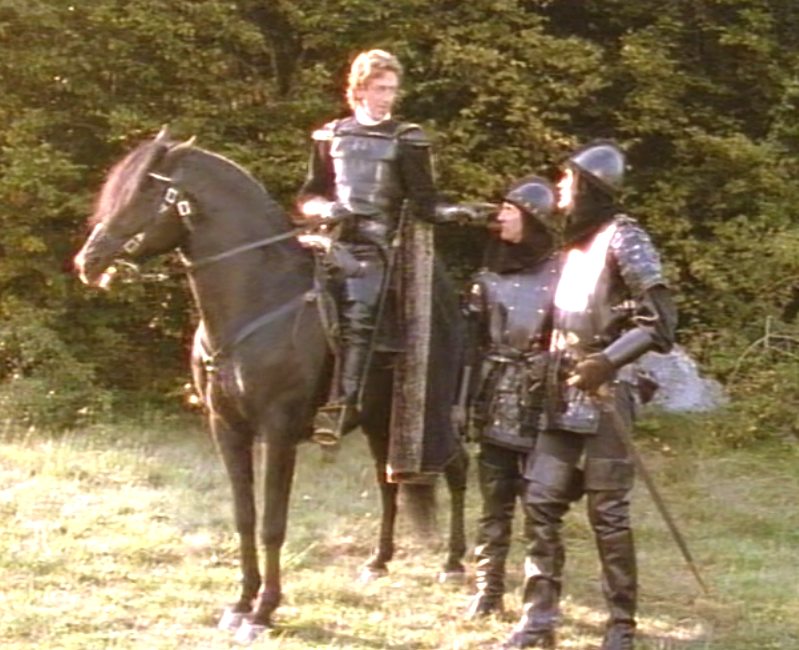
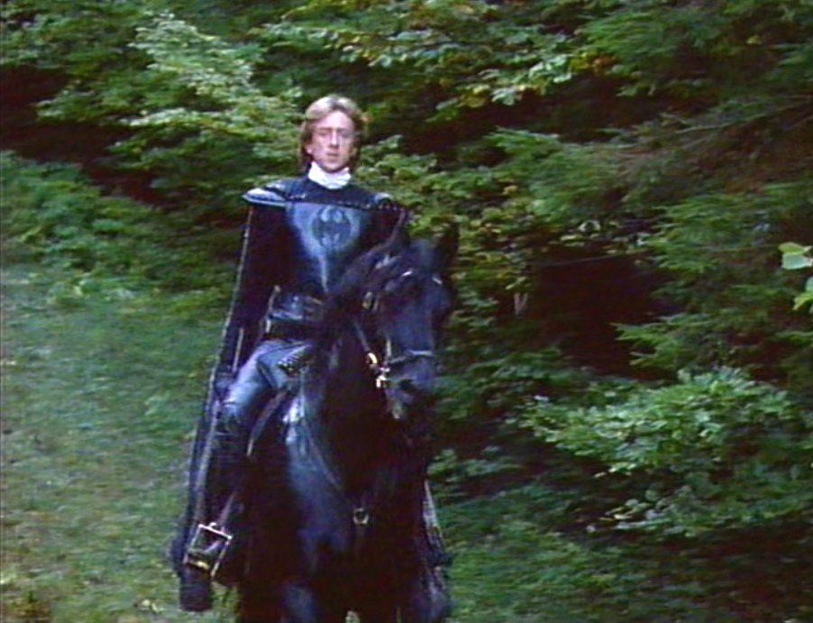
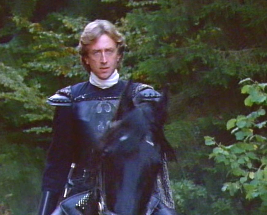
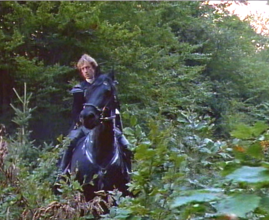
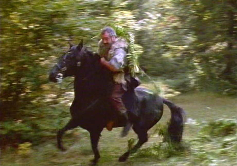
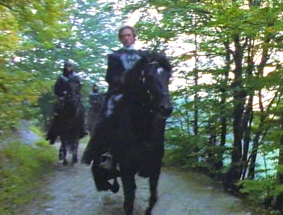
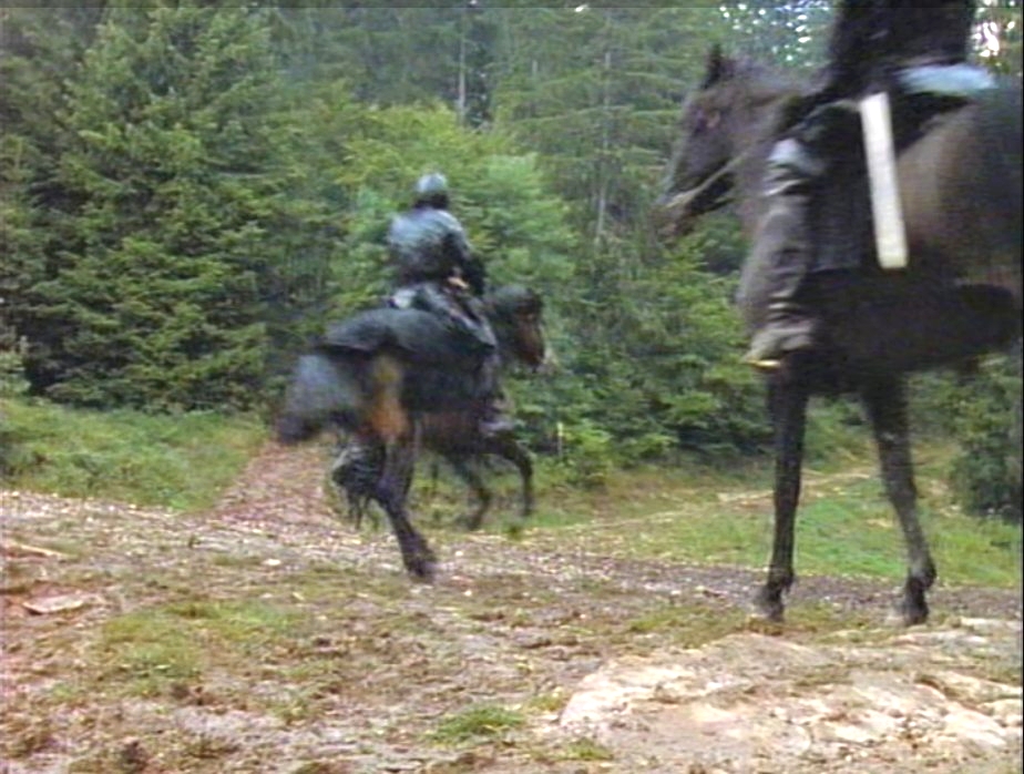
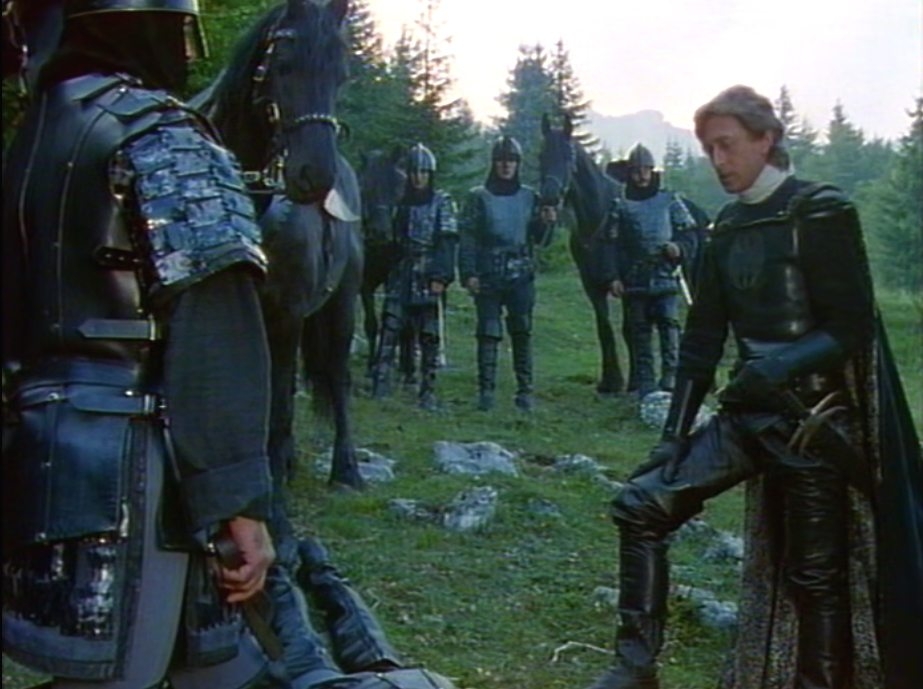
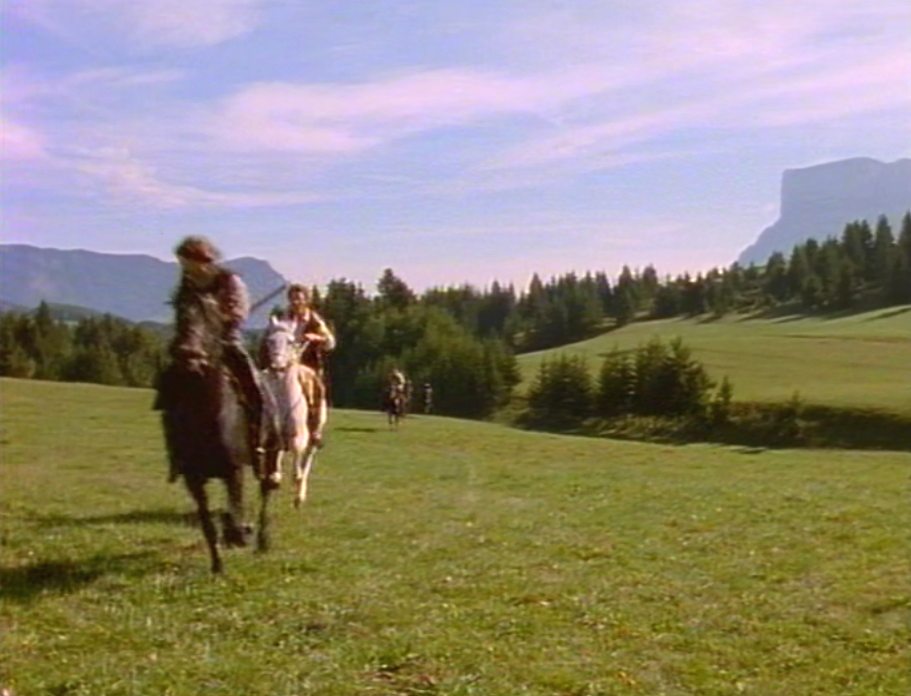
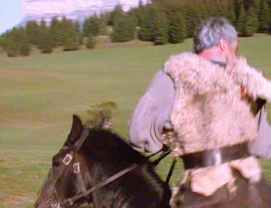
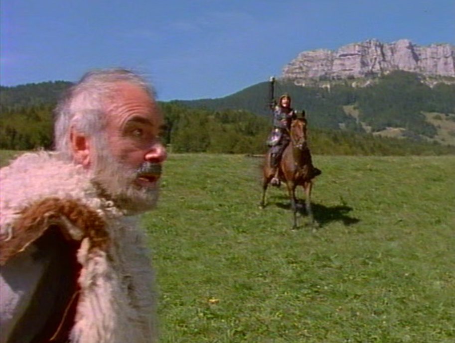
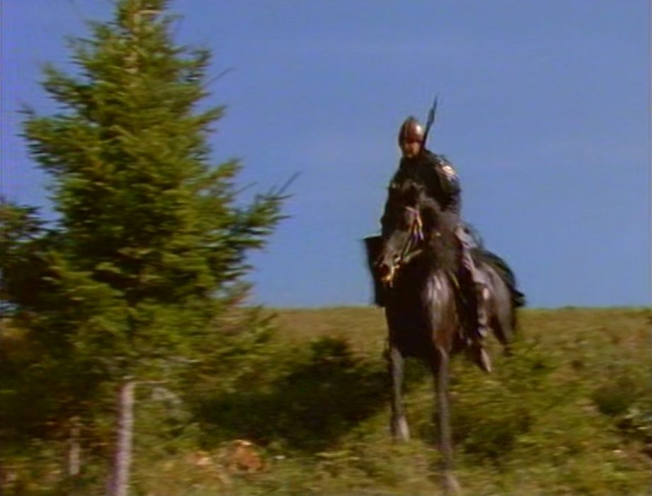
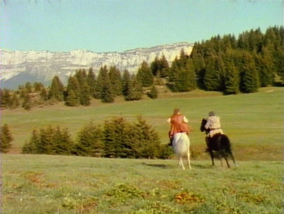
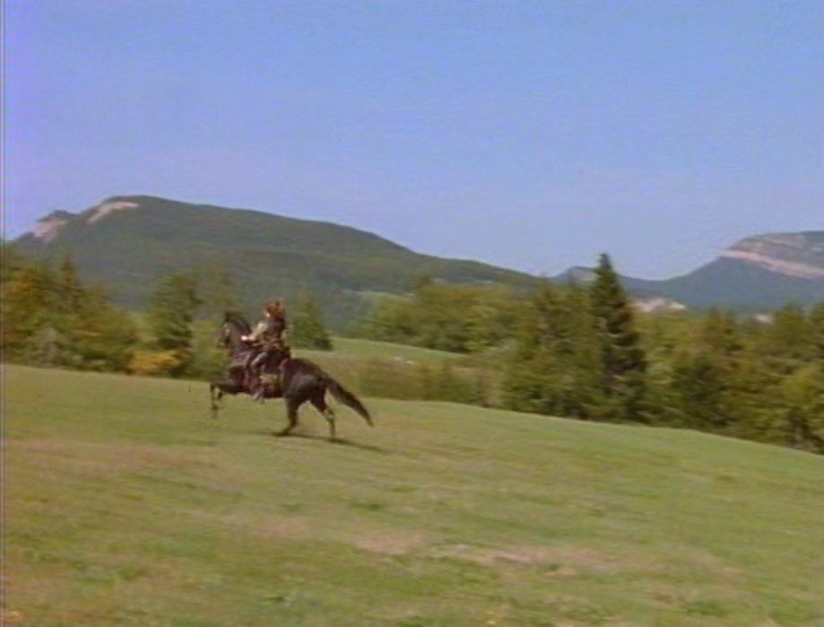
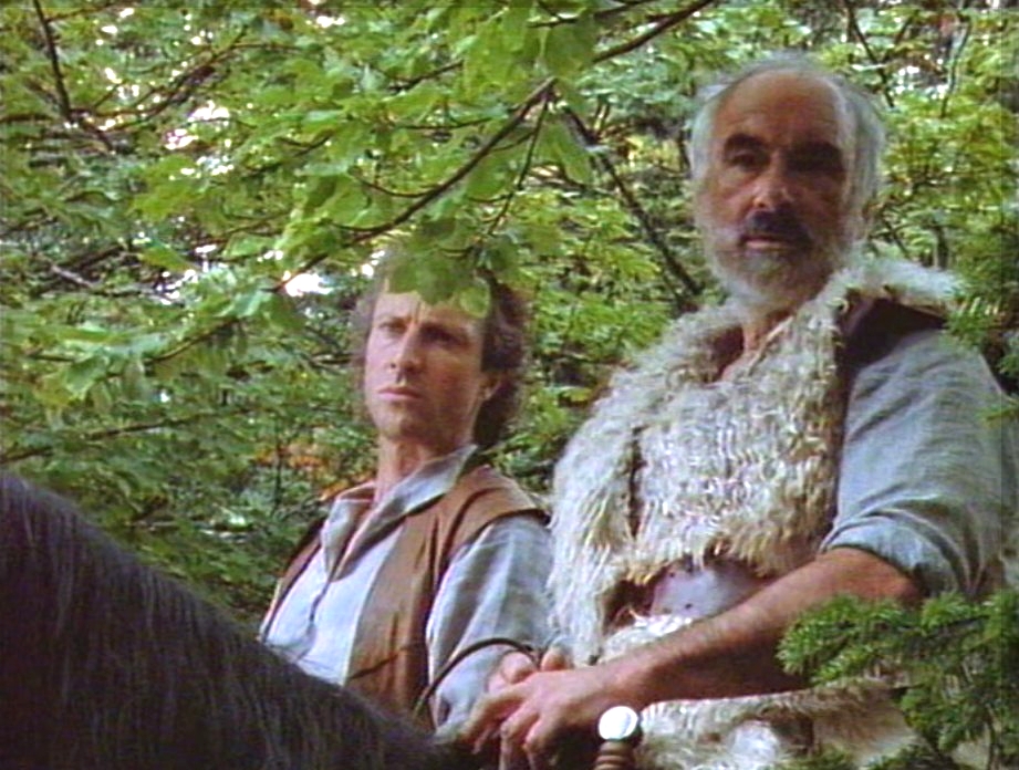
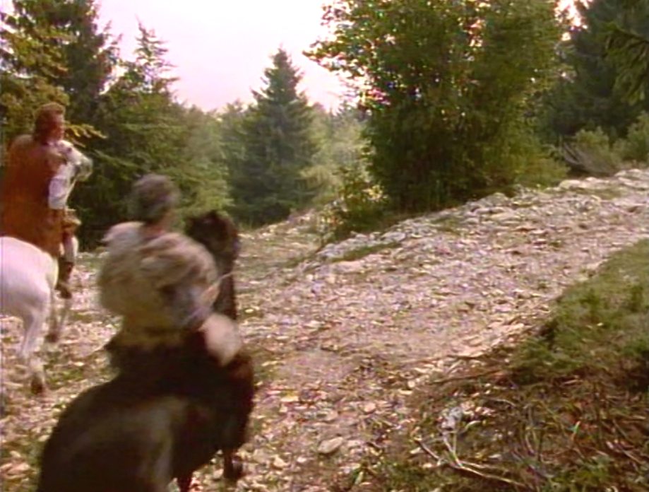
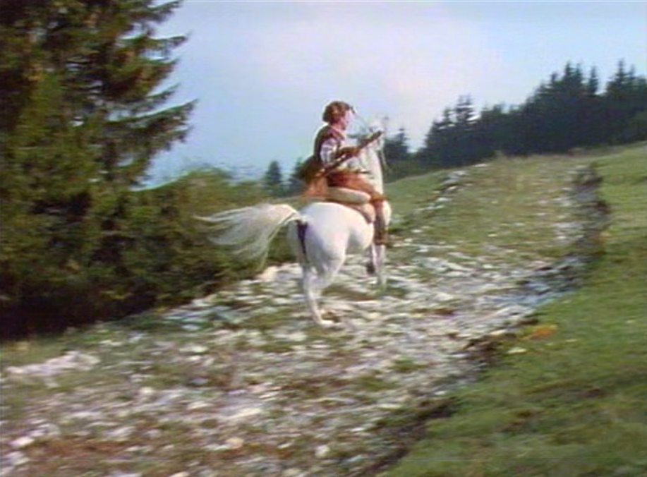
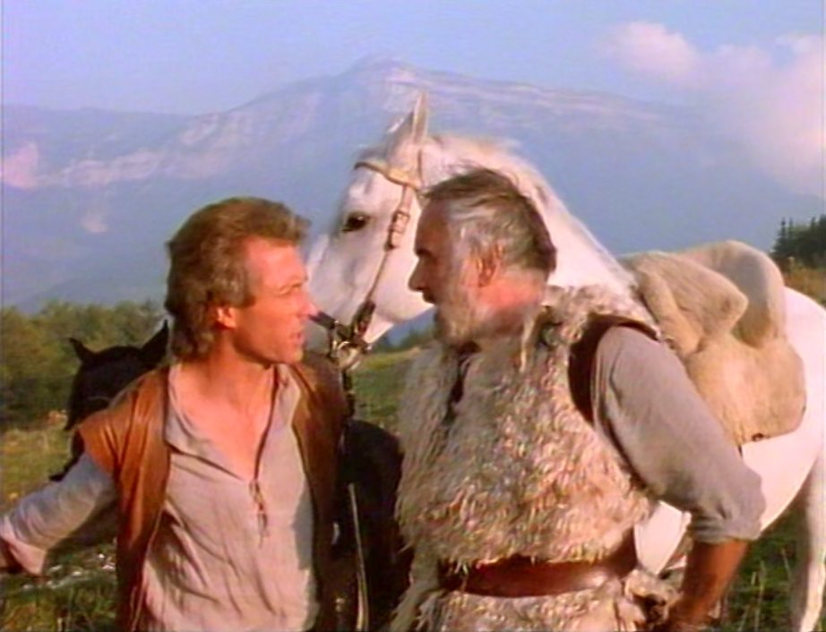
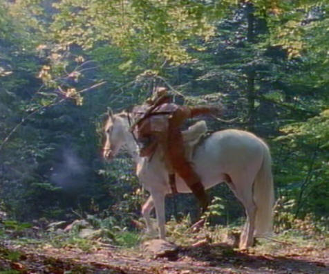
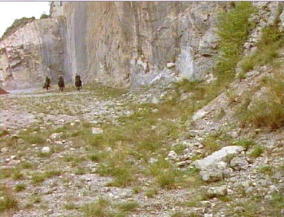
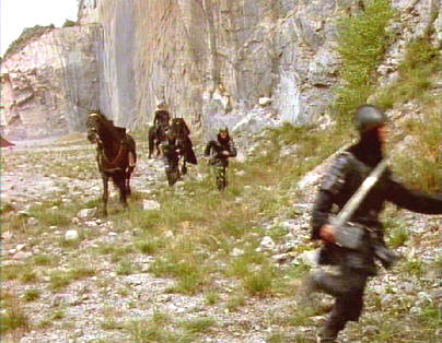
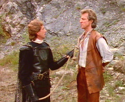
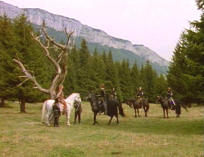
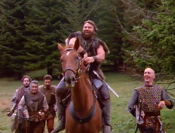
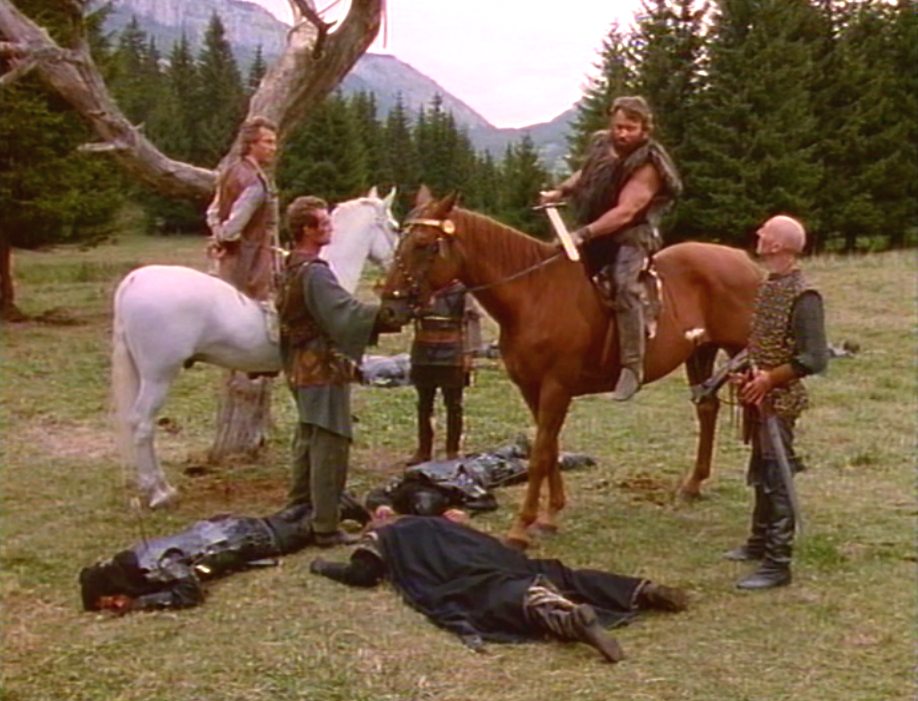
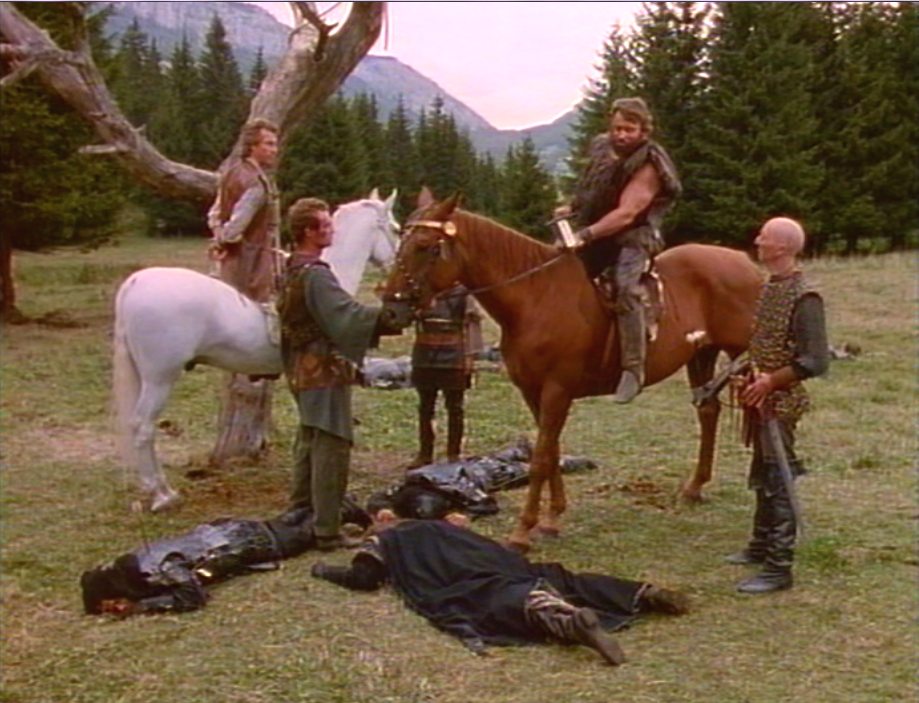
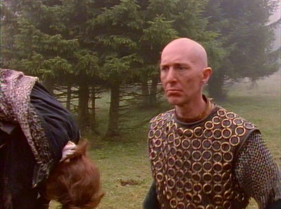
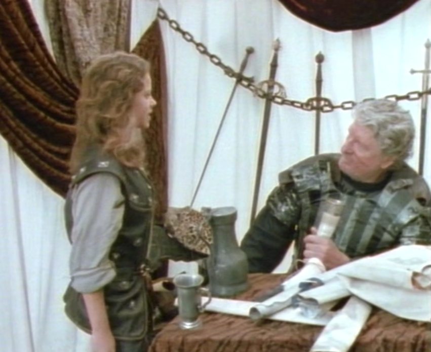
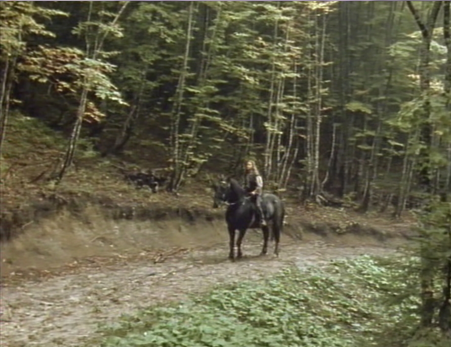
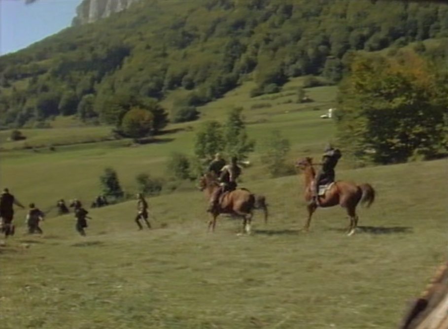
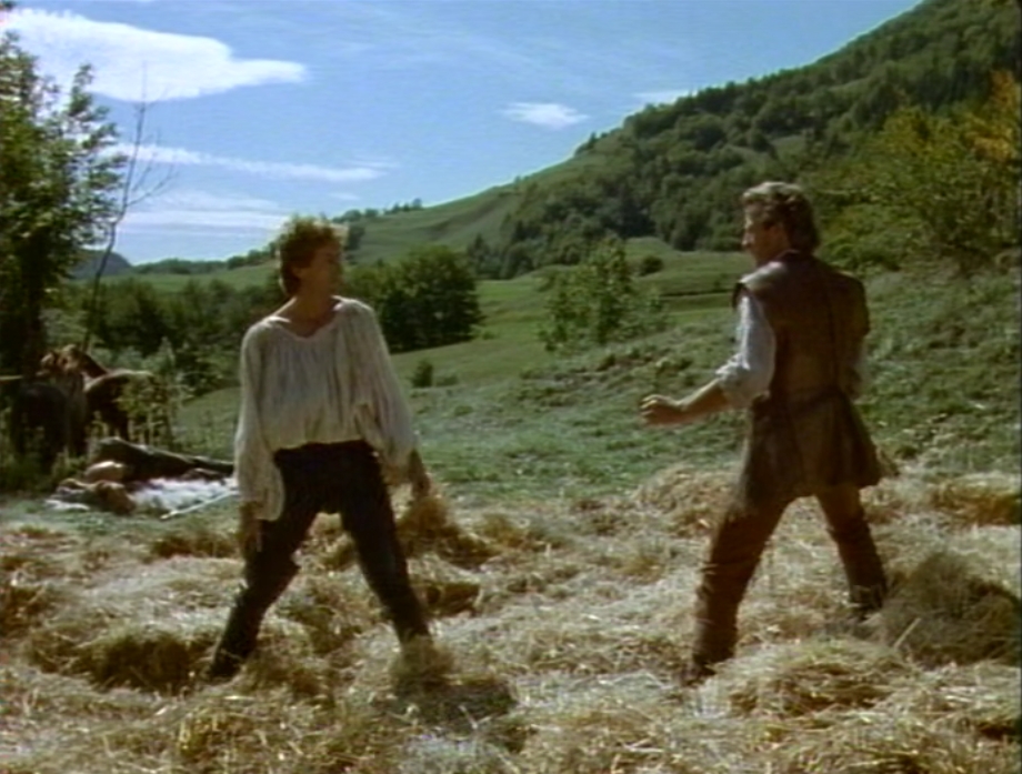
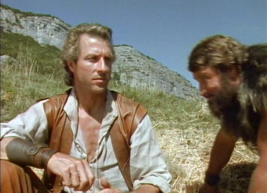
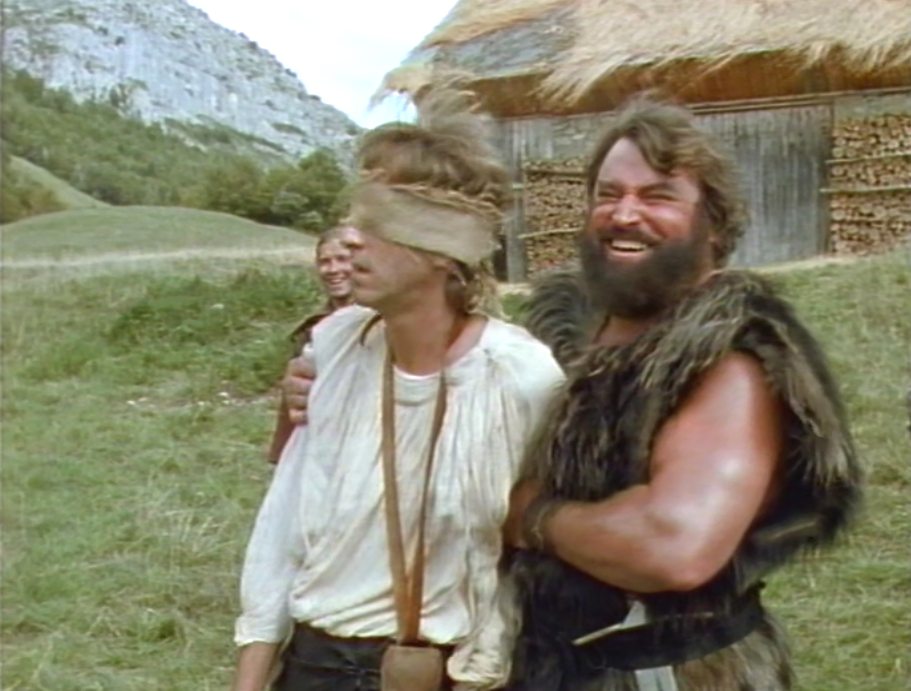
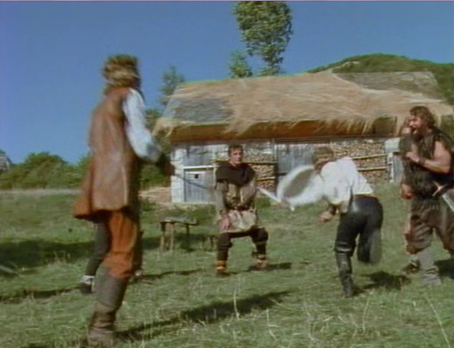
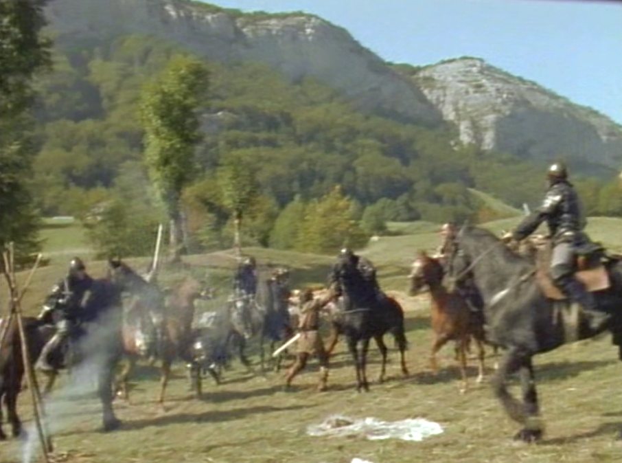
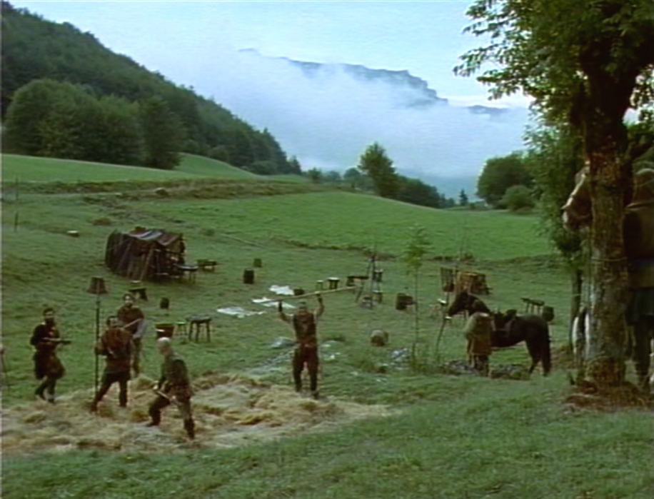
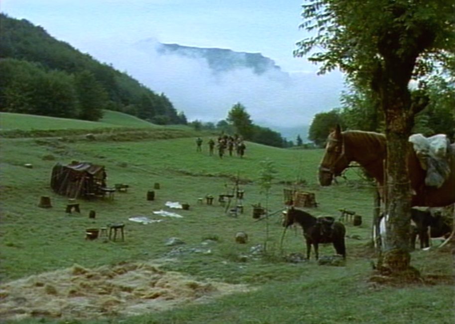
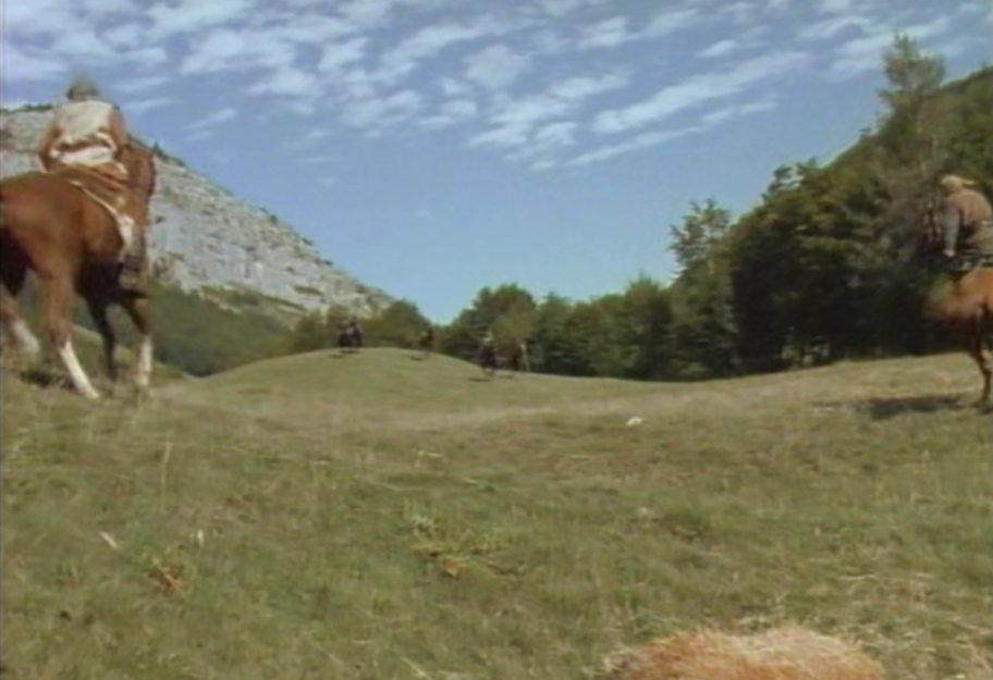
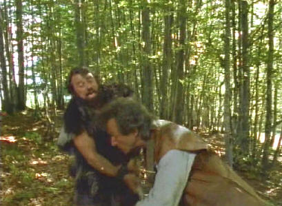
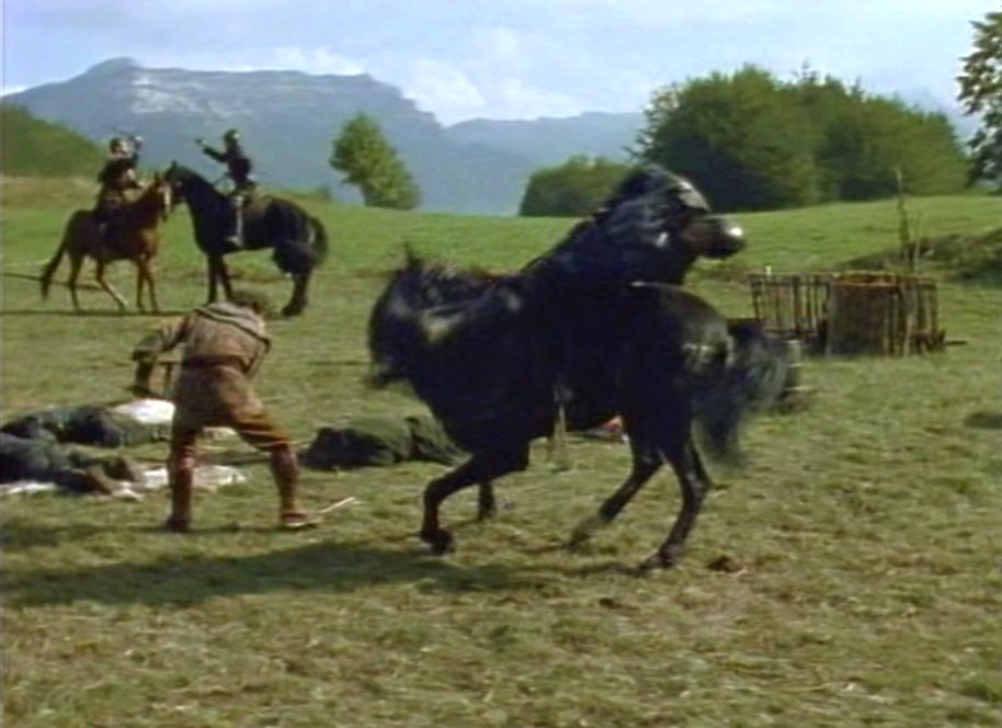
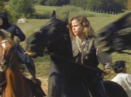
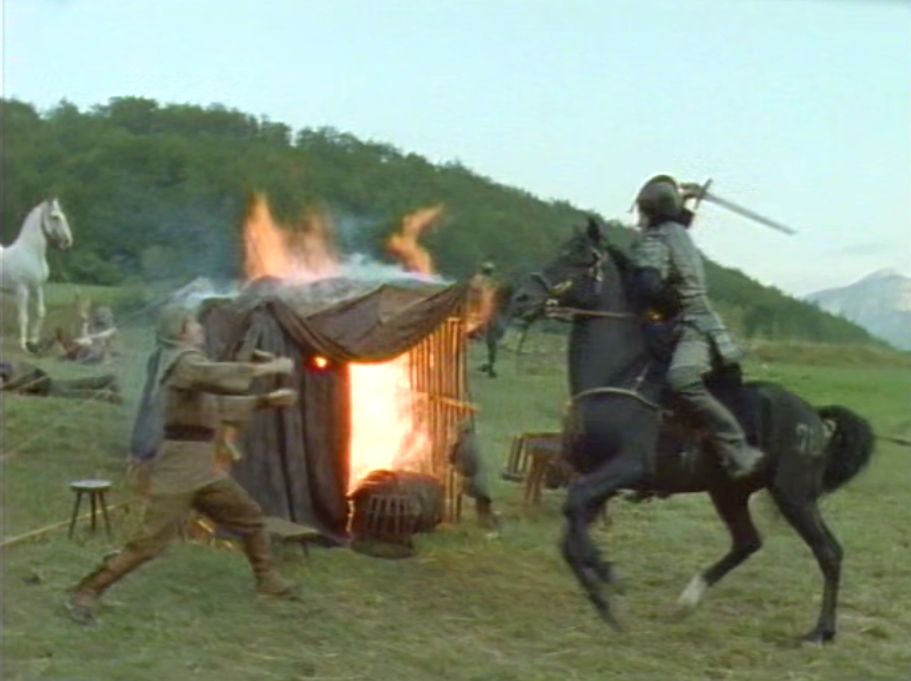
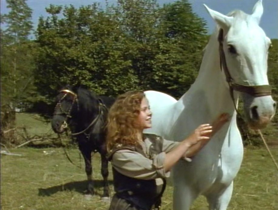
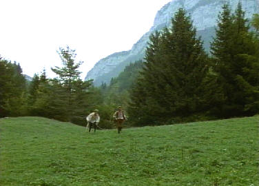
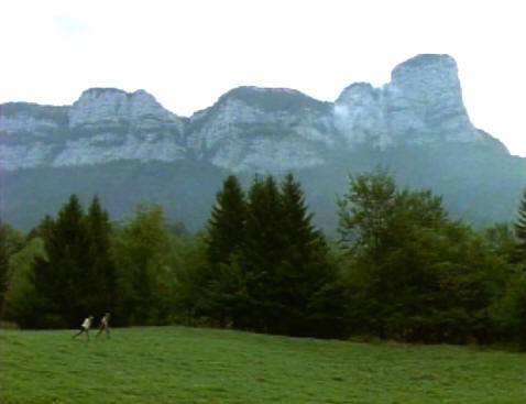
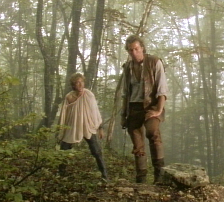
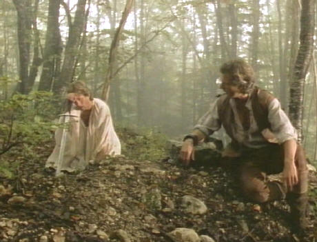
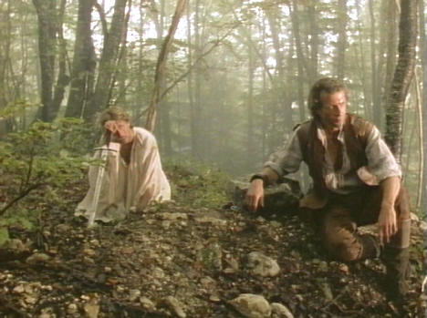
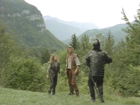
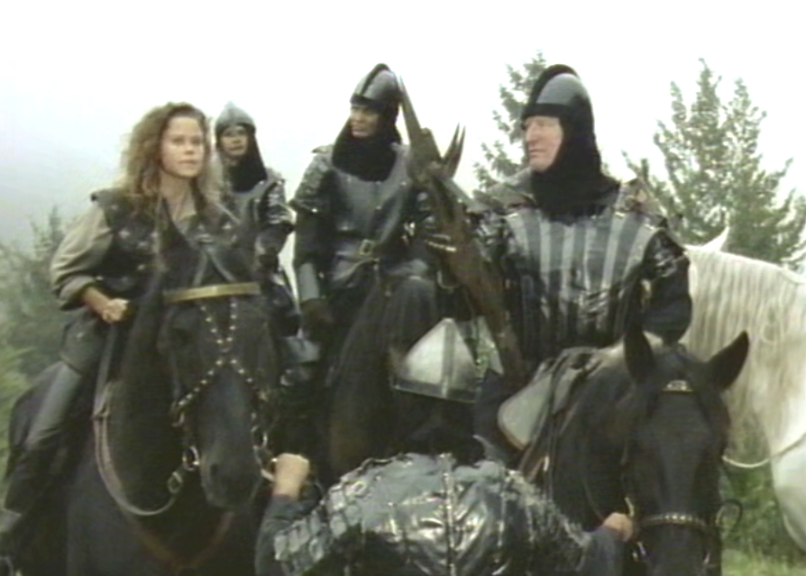
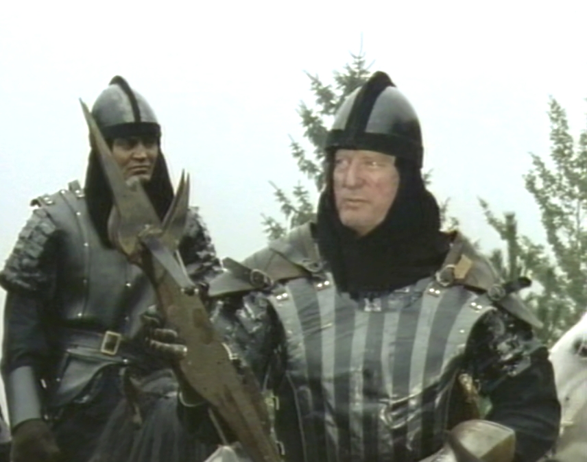
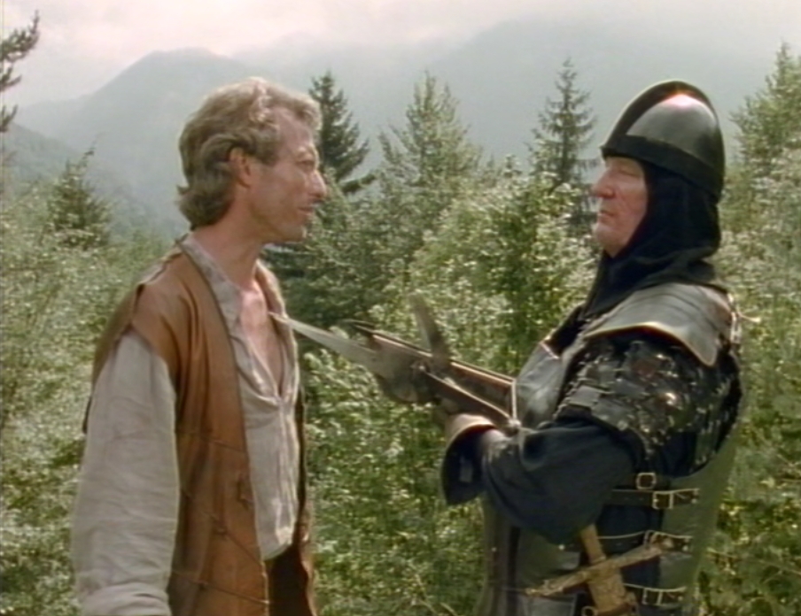
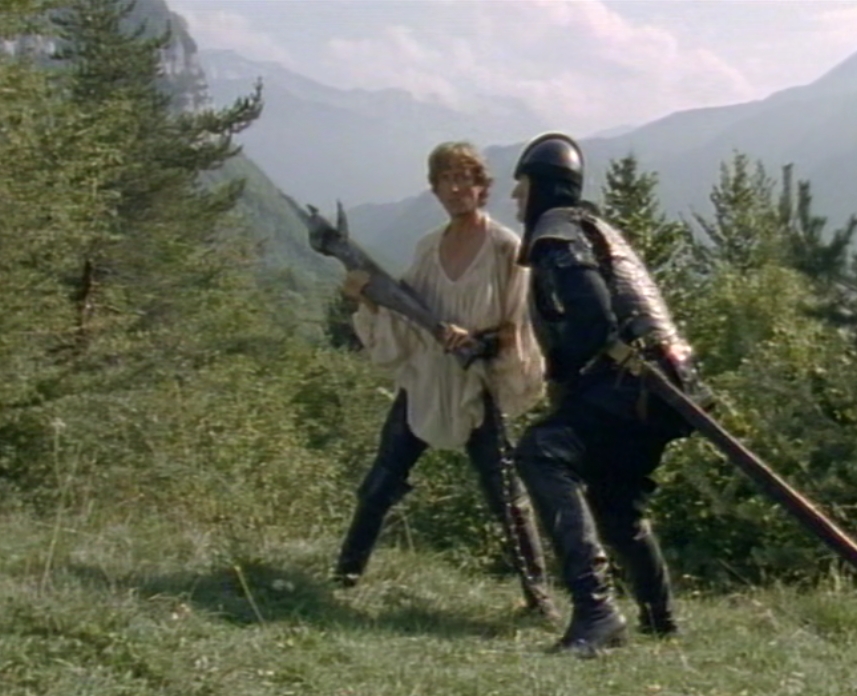
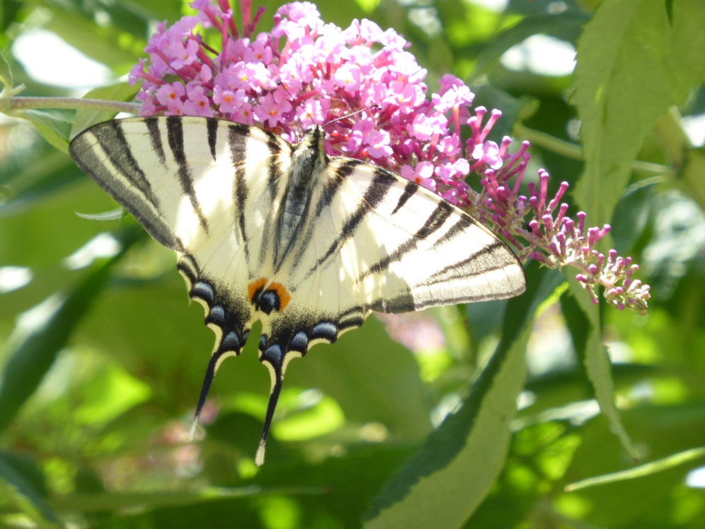
Gessler strains every nerve now he knows Tell is very nearby. They found their campfire. Tyroll was attending a wounded soldier, but Tyroll is sent back to the pass.
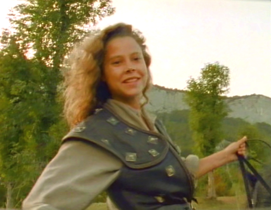
Gessler finds Tell, Stefan and Eleanor, hidden with the horses under bushes. Is he able to catch them?.
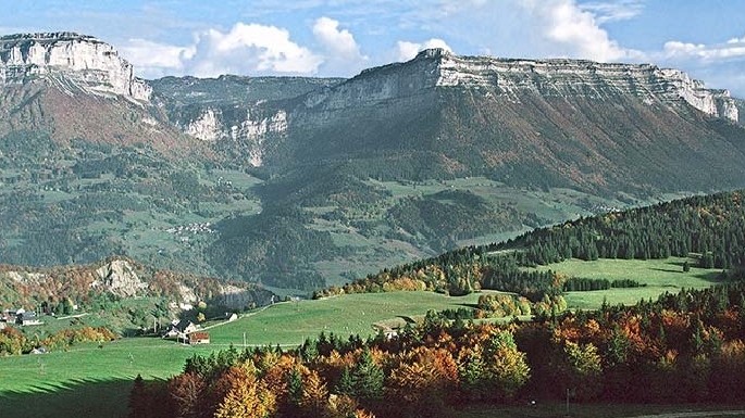
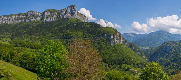
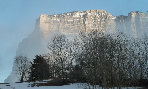
1986 Desert of Entremont plateau, Mont Granier 2014 Mont Granier, clouds try to climb around
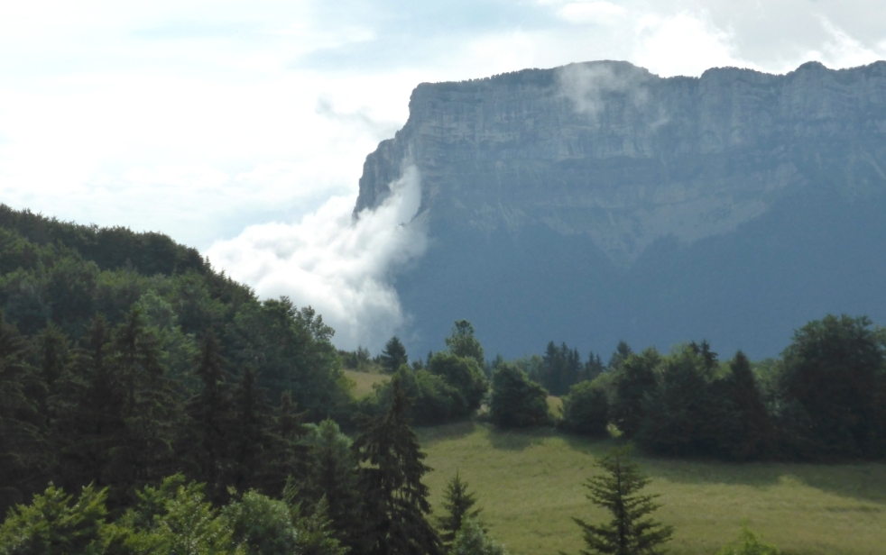
1986 Standing in the middle of the Desert looking to the north. A view of Mont Granier. This area is beautiful in all seasons!
The weather is changing quickly here and clouds are passing by.
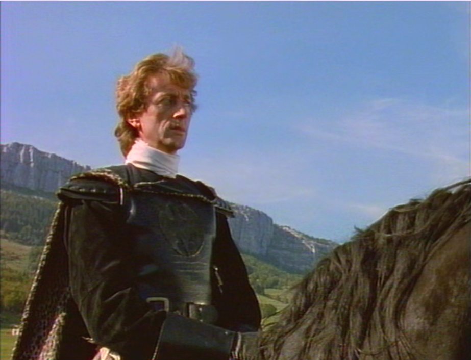
1986 Gessler in front of Mont l'Outeran. 2014
Westside of the Desert, Mont l' Outeran
You see a short shot of Horst with the asphalt road. Discovery and yellow lines made by a fan.
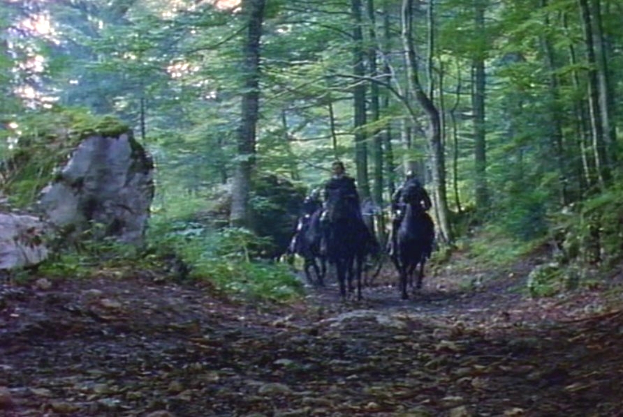
Forest Crossbroads. Perhaps on the foot of mountain Outeran?
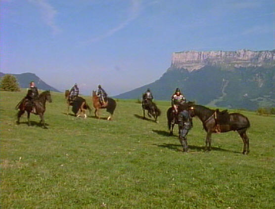
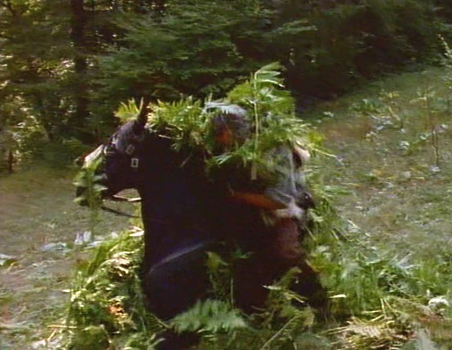
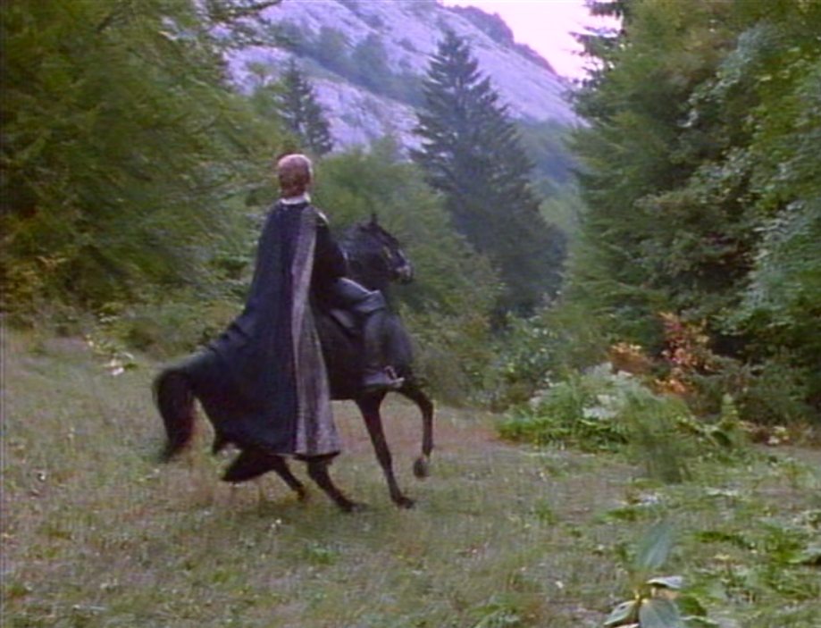
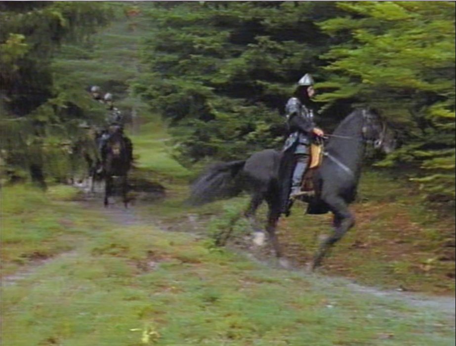
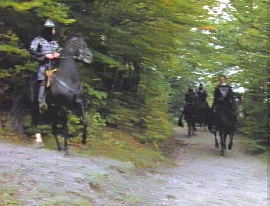
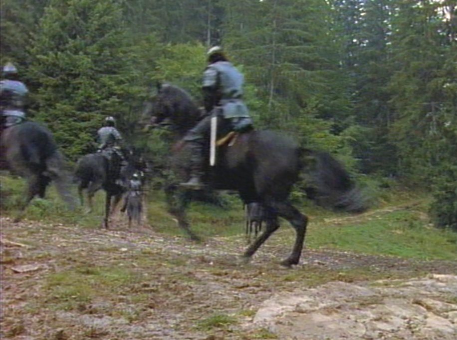
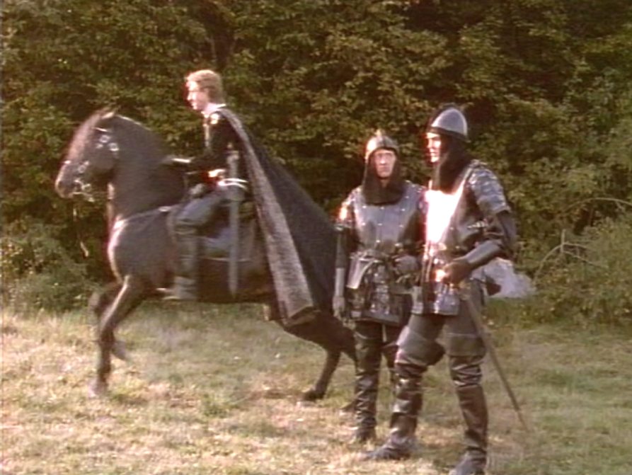
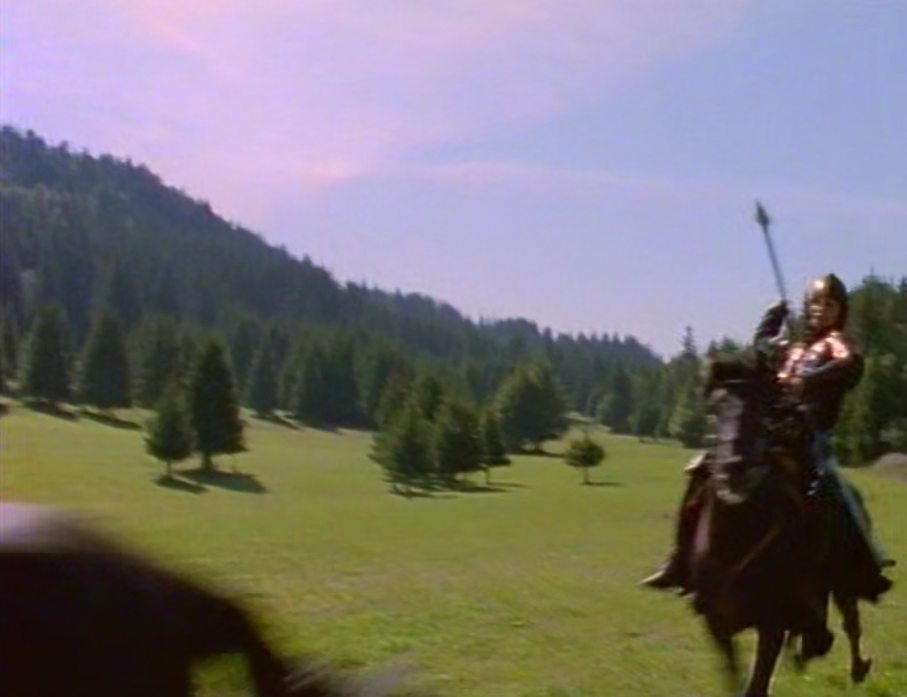
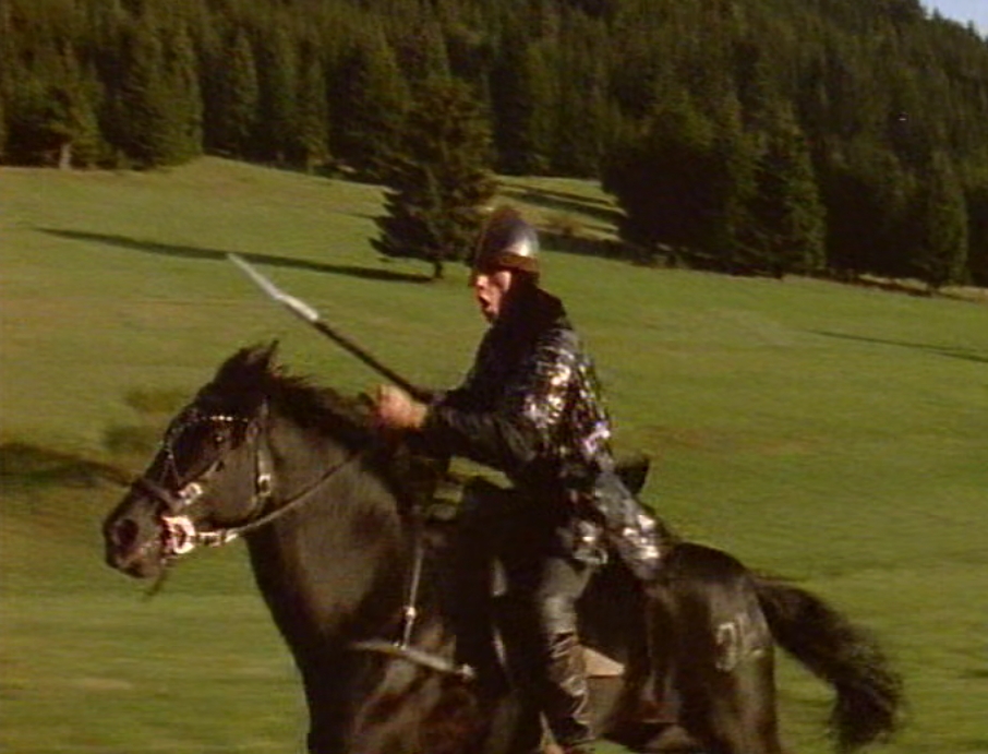
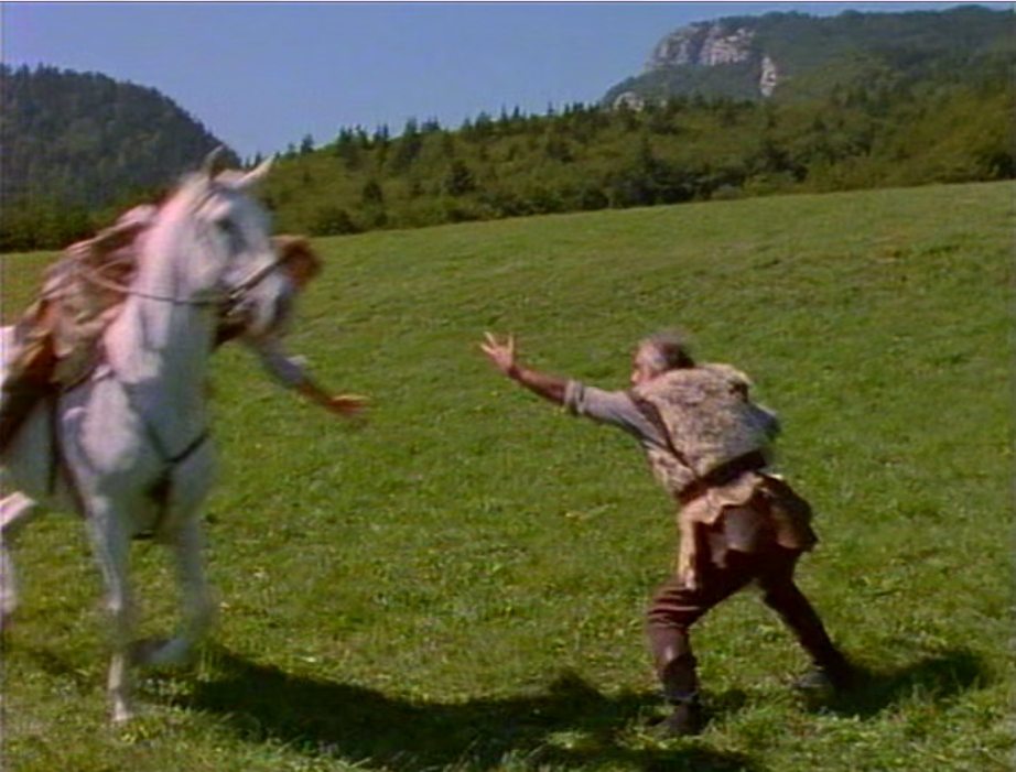
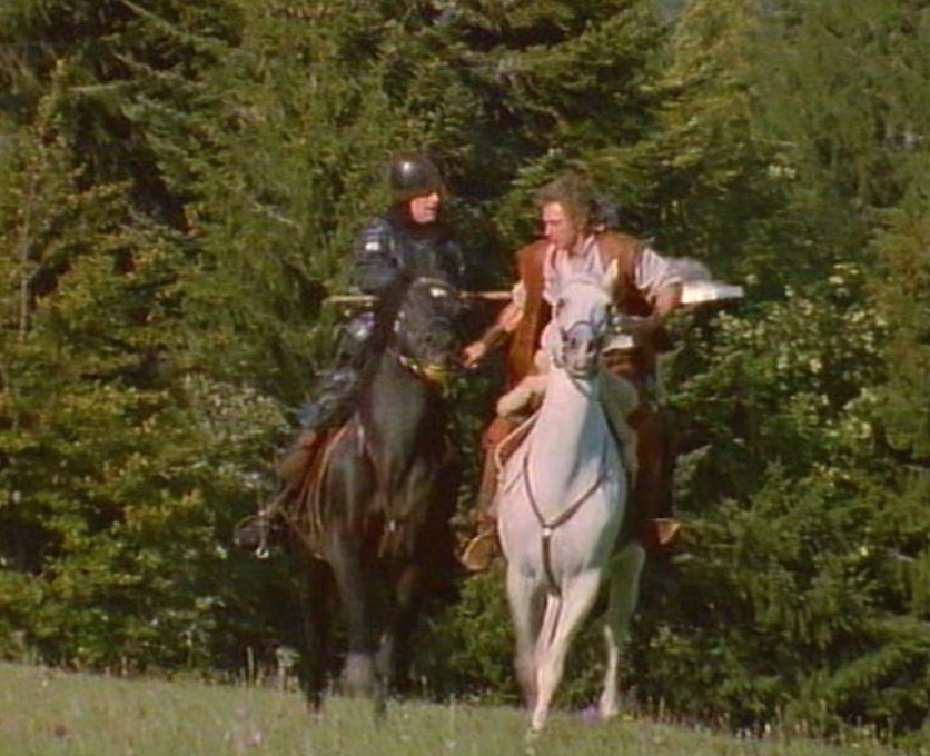
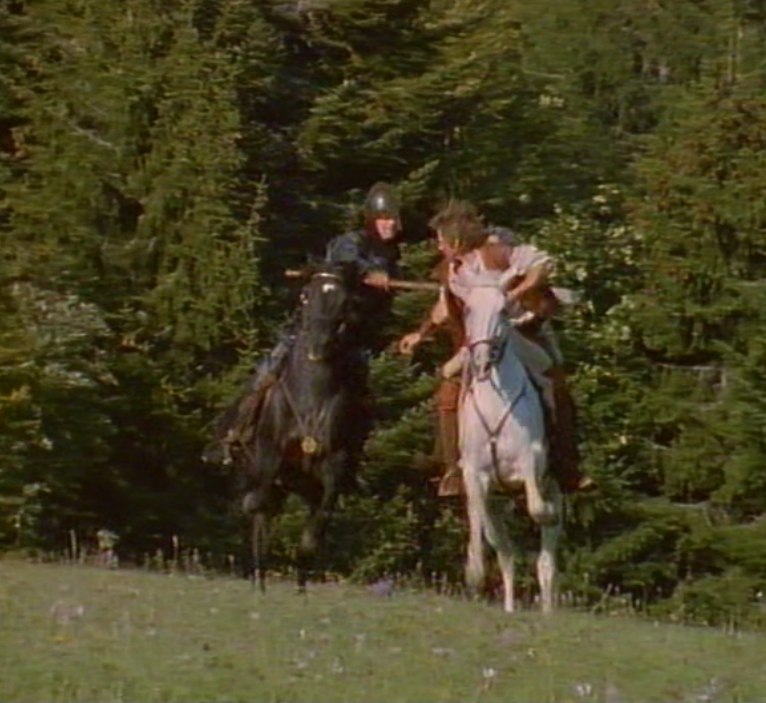
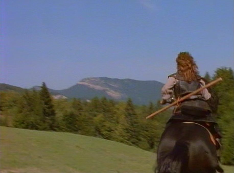
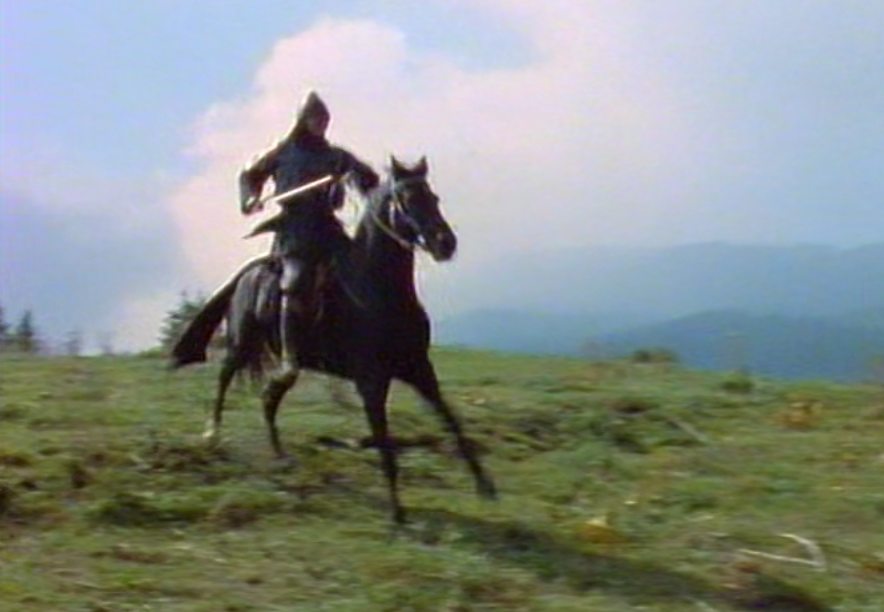
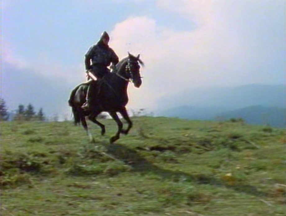
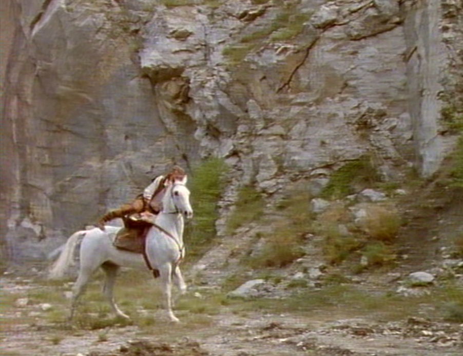
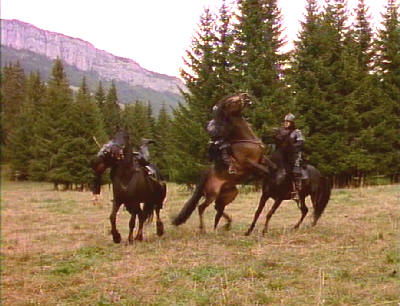
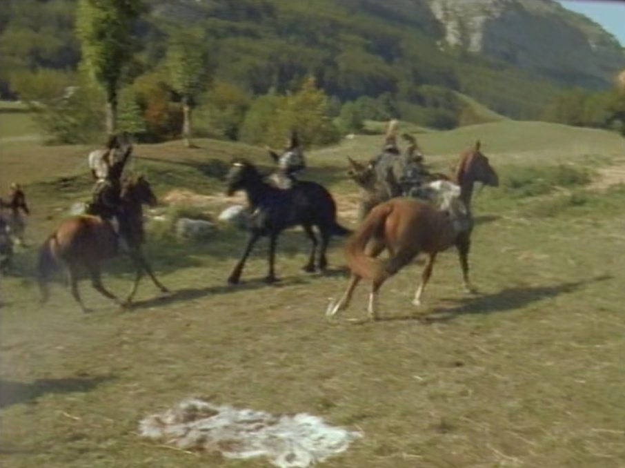
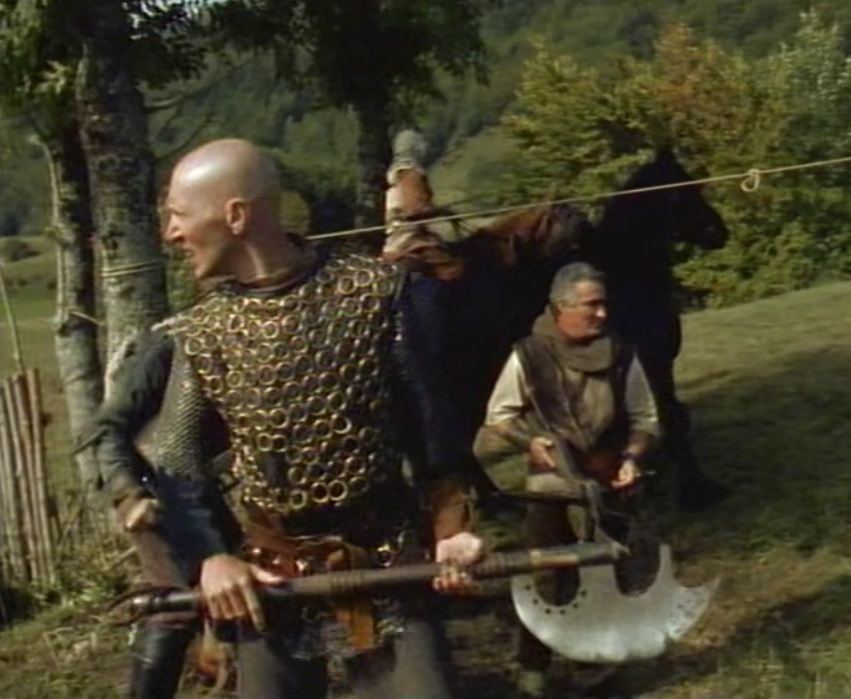
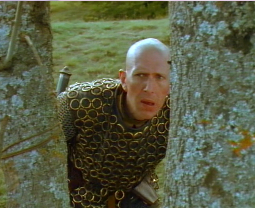
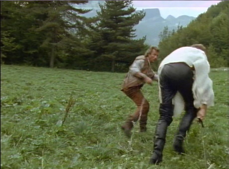
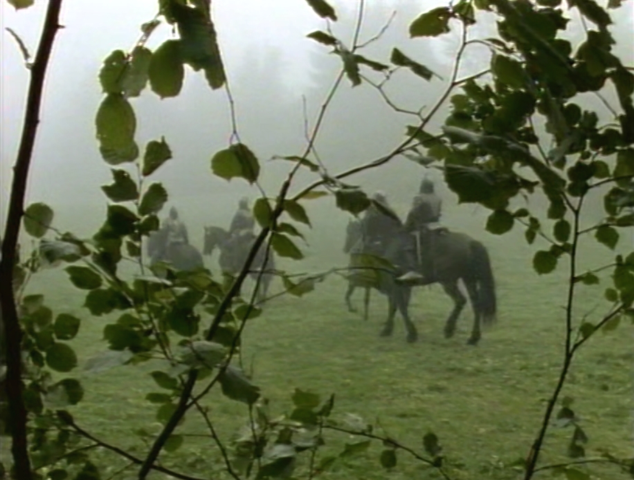
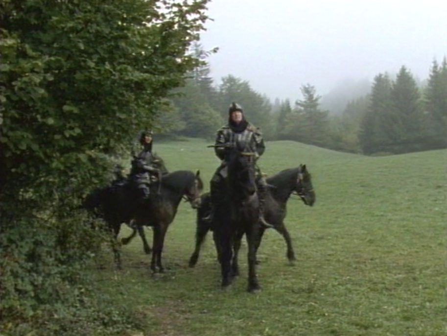
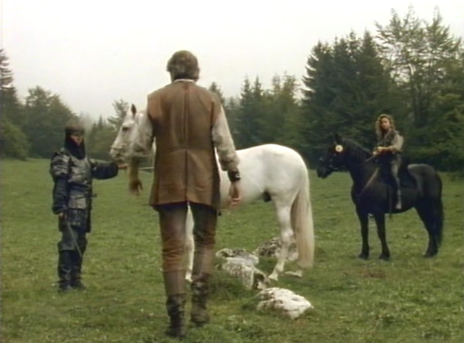
Scene: Gessler's horse goes wild, because bushes are moving...
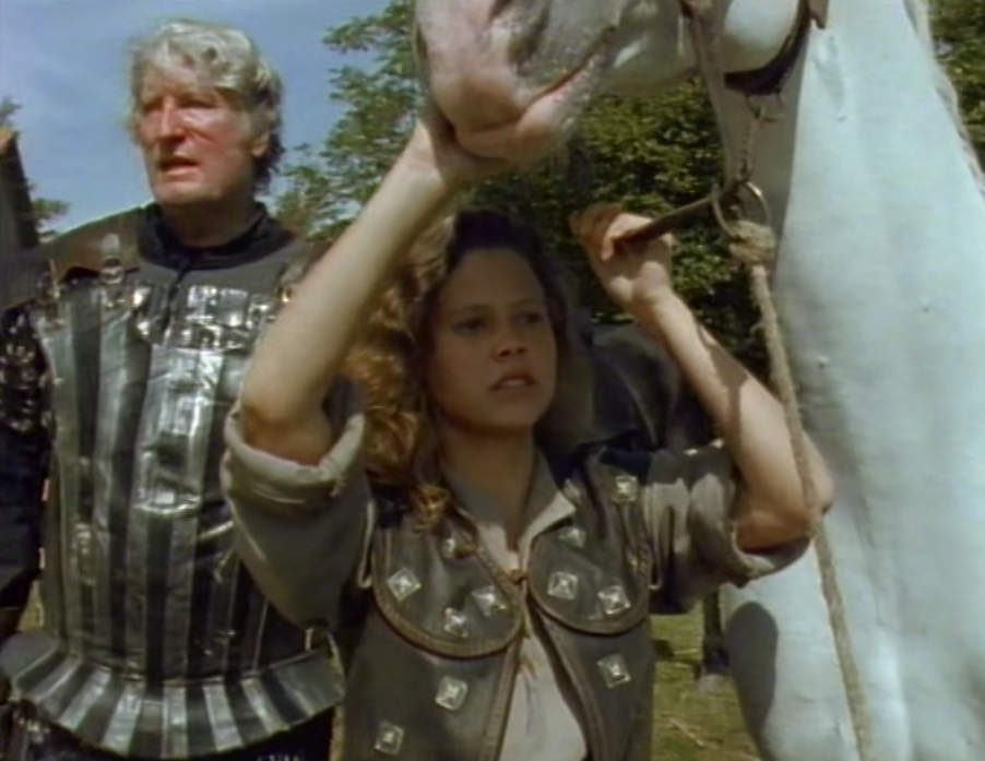
The horses perfectly hidden in bushes.

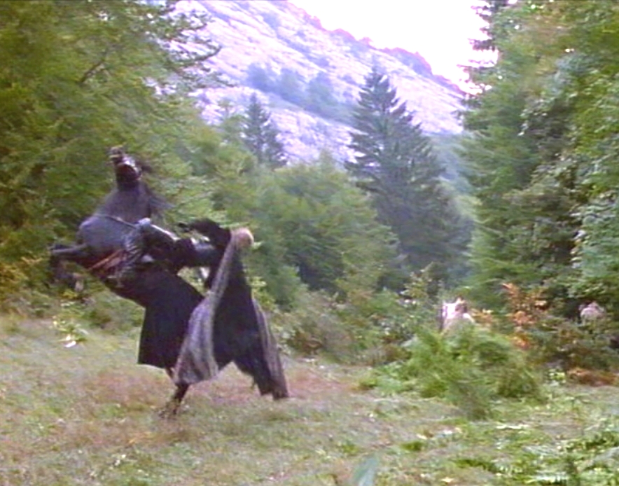
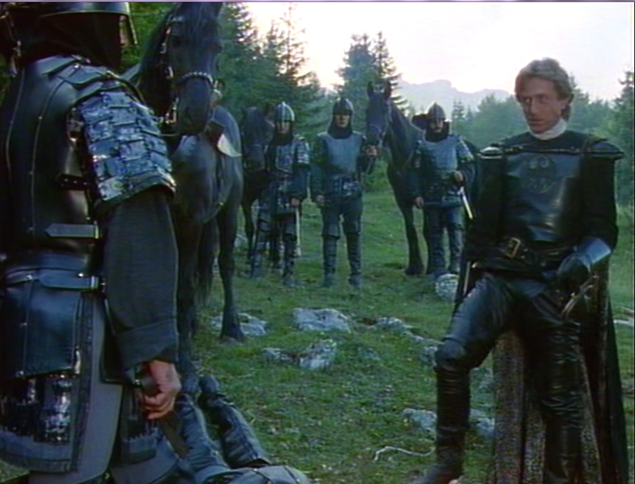
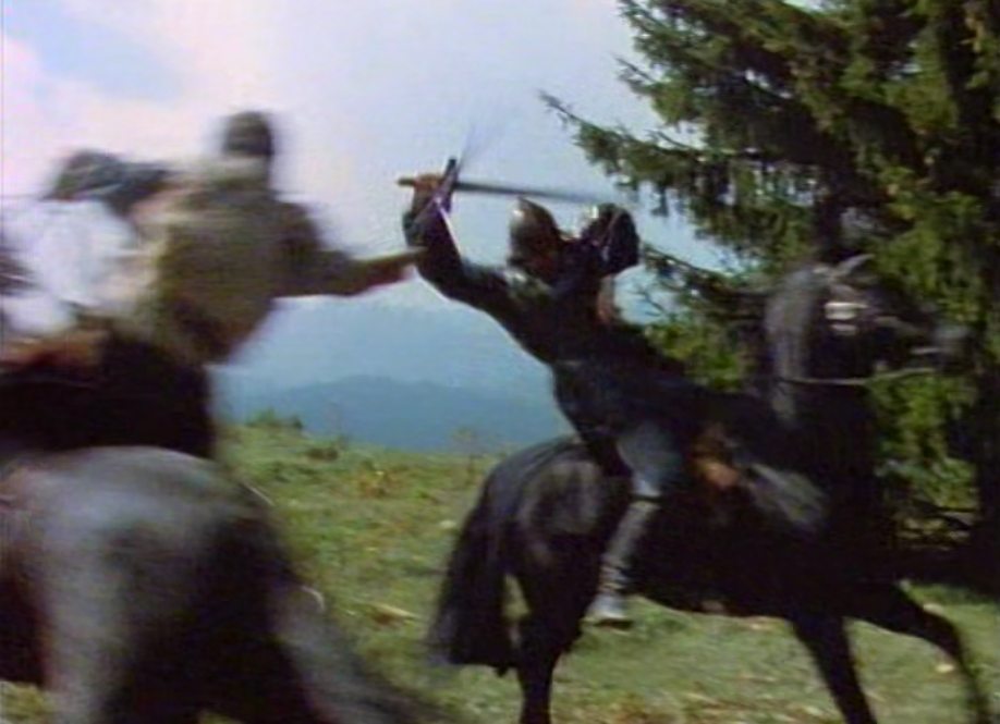
Gessler speaks strongly to his men.
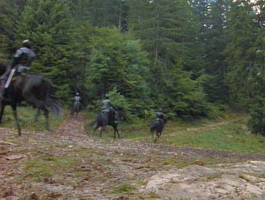
Still the forest crossroads. Located: South of Entremont.
And another crossing
A hikers trail. We think we've recognized it already on the map, but haven't seen it in real yet.
Unknown location
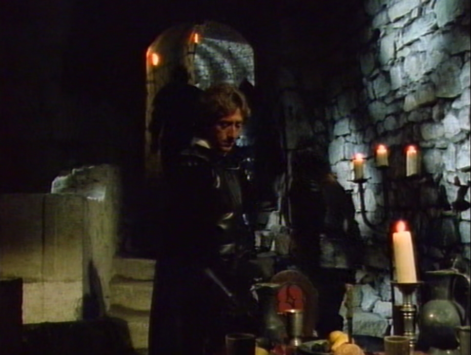
No idea where this could be....Does someone have a suggestion? Please write us. Miolans (place hidden to the public?) I think this must
be Miolans cellar. I have seen those block upstairs when I was there and some doors were shut. The stones look like Miolans castle.
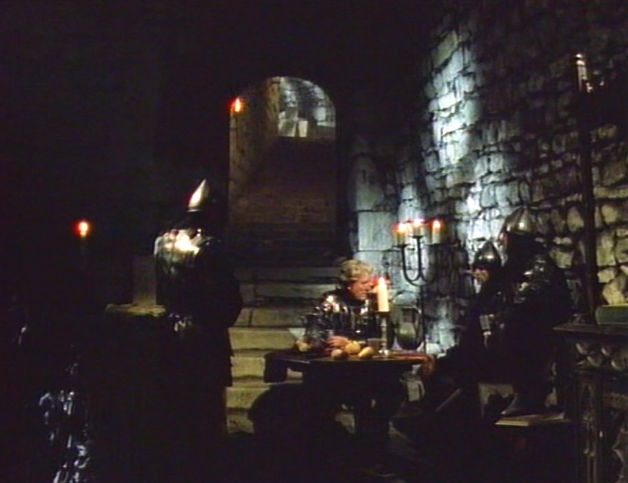
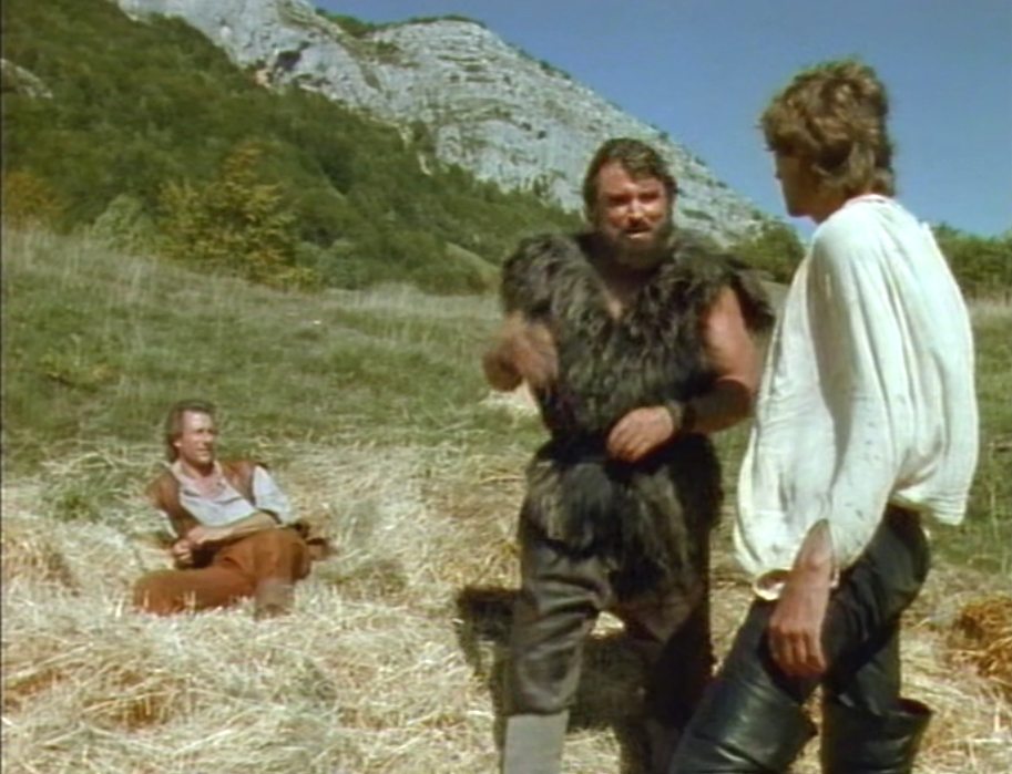
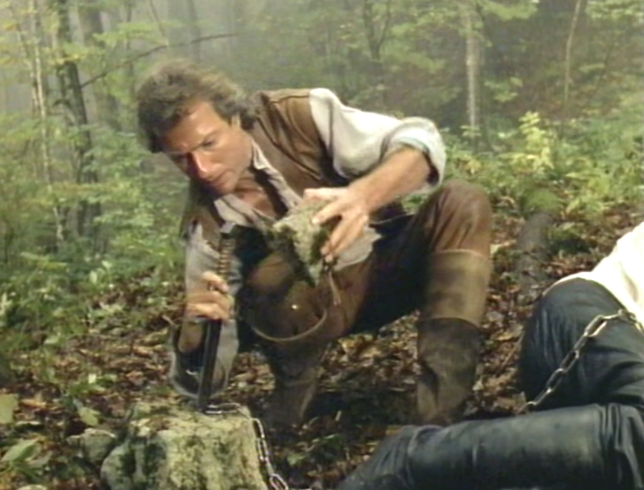
Meanwhile Tyroll is almost giving up looking for Tell but Gessler doesn't allow that. This location is perhaps a winecellar, we don't know.
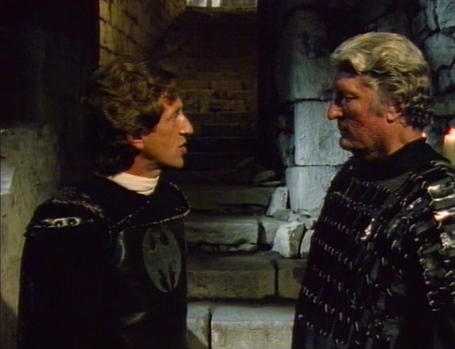
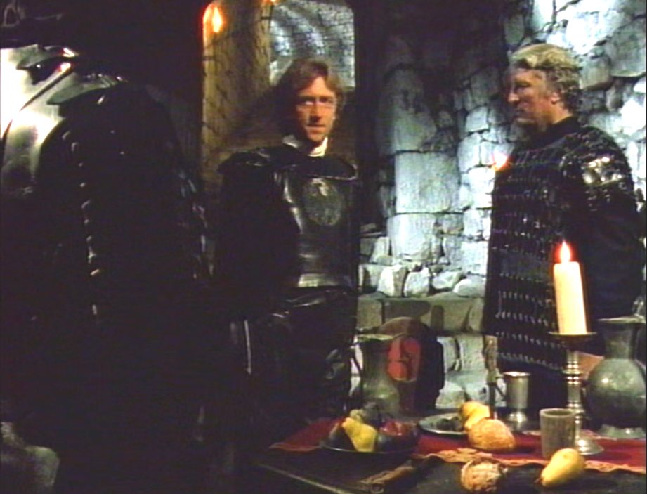
Story: Tyroll realizes Gessler is obsessed with catching Tell. They don't get any other orders nowadays. Tyroll tells Horst:
'If Gessler doesn't get Tell this time, I hope Tell gets Gessler.' Horst is shocked by Tyroll's words.
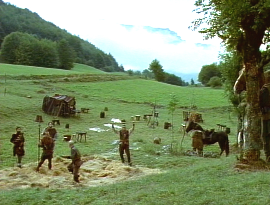
At the camp
1988 2014
![]()
![]()
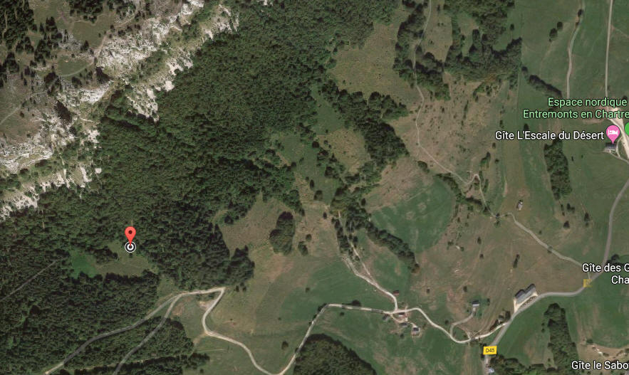
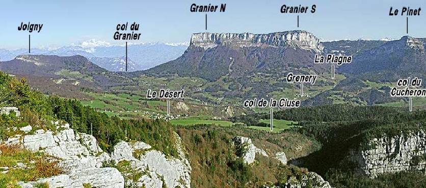
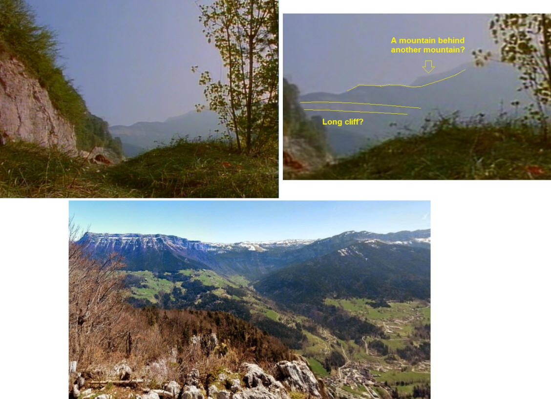
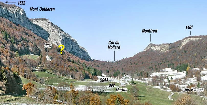
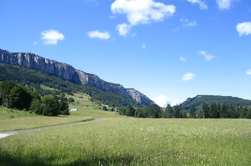
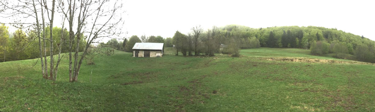
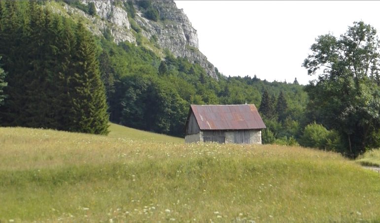
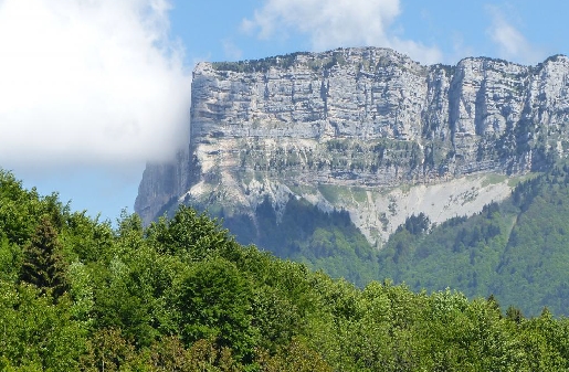
Above: Desert of Entremont taken from mont l' Outeran to mont Granier. This is a Crossbow valley.
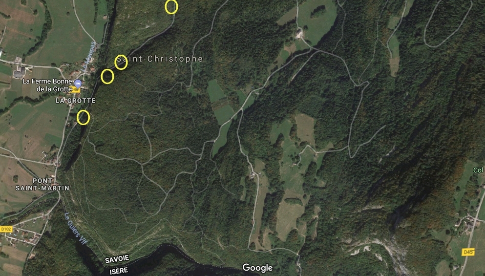
The map: But behind the photographer, a few mountain further, you see this valley. Saint Christophe la Grotte (la Voie Sarde), see below. All scenes of the Shardun pass (at Voie Sarde)
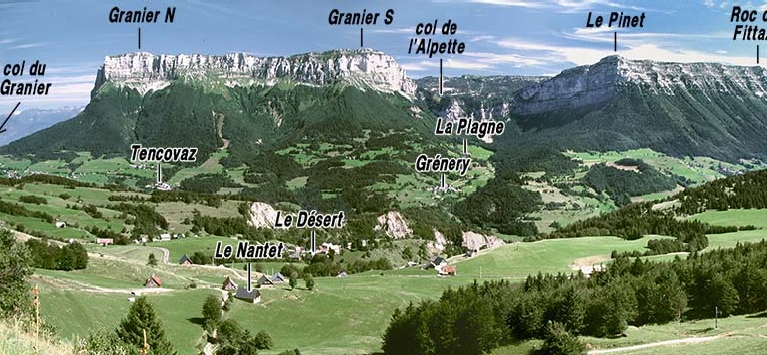
Circle in the middle on top: The place of Gaston's barn
Circle left above: Mont Outeran, always in the back
Circle left middle: the dead tree scene
Right circle low: Rock Pinet
Right circle above: Mont Granier.... A giant in almost any meadow-shots visible.
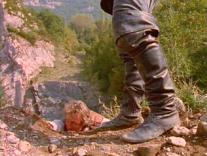
The mine (where Gessler catches Tell and put a rope around his neck) is not on this photo but we think it's north of this area.
Lowest circle is where Gessler and Tell are tied to each other. The field Tyroll gives Tell one hour head start.
![]()
Desert Entremont and Sardinian way in St. Christophe la Grotte.
The search for Tell, the web closes.
Impression of the area 2014
Great place to hike.
Found by C. Petit
The Pass - searching in the field
Lots of action!
Location: The southern part of mount Granier
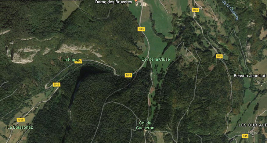
Col de la cluse About 2010
1986 2015 1986
In front of Mont Granier and Pinet (right)
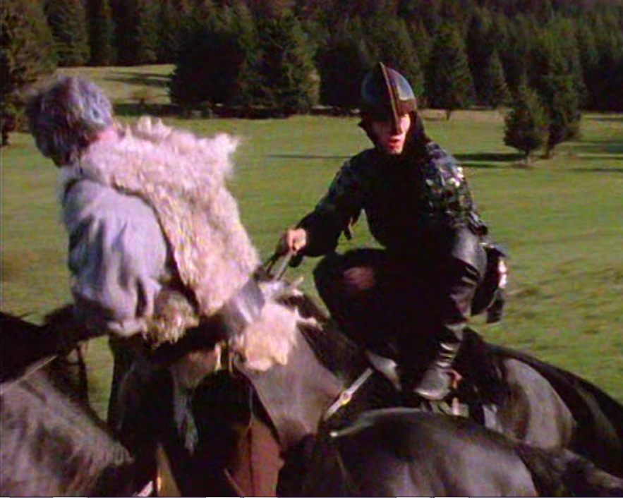
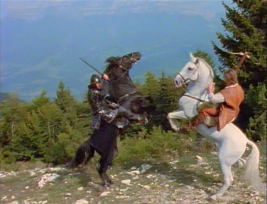
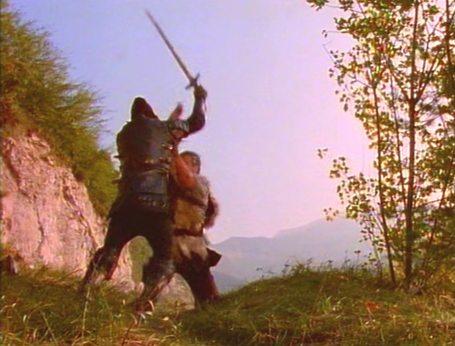
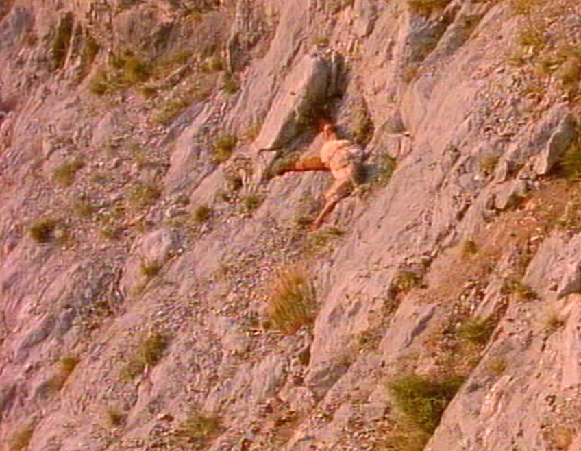
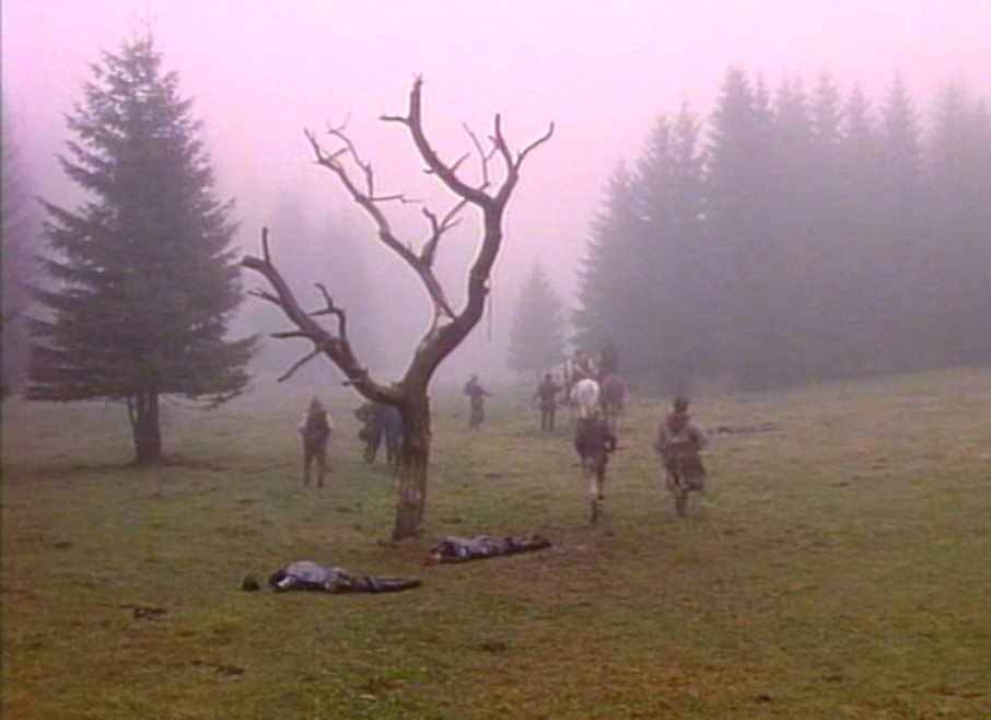
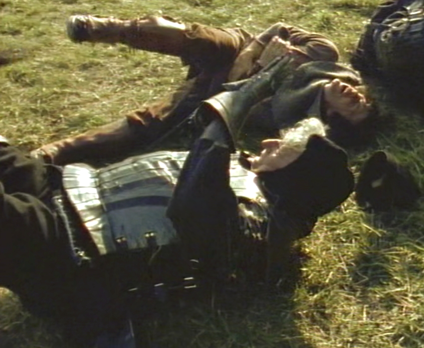
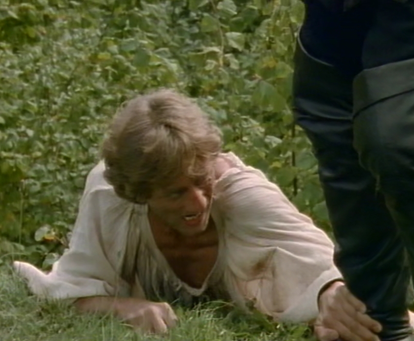
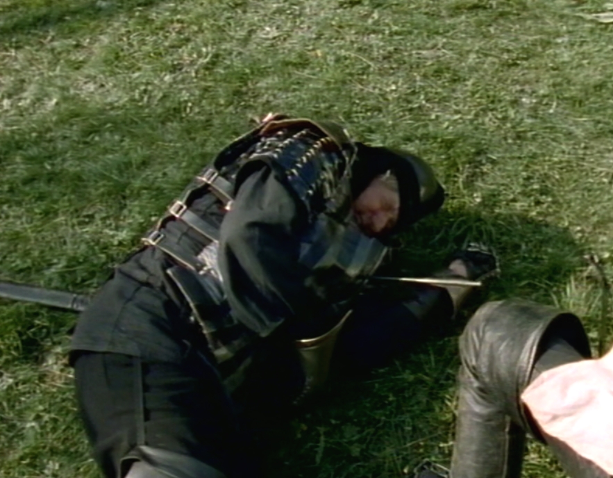
Scene: A soldier climbs Stefan's horse and they both fall.
1986 South edge Mont Outheran Scene: Stefan is unarmed and he is attacked by a soldier. South edge of mont l'Outheran from different levels and distances 2014
The hunted
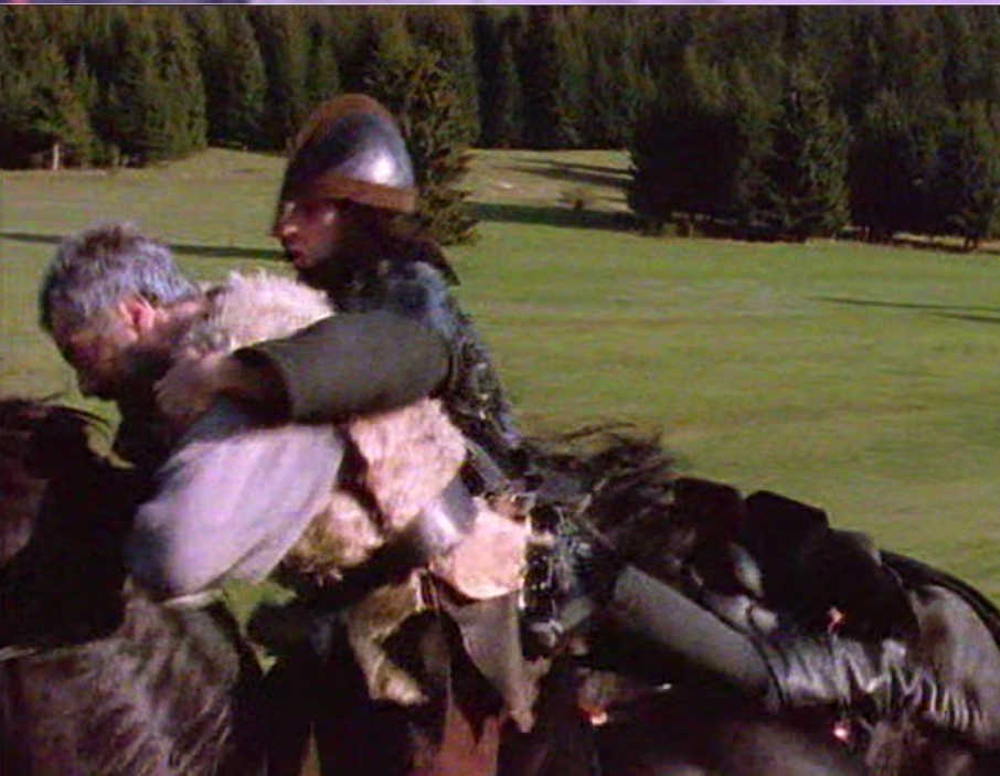
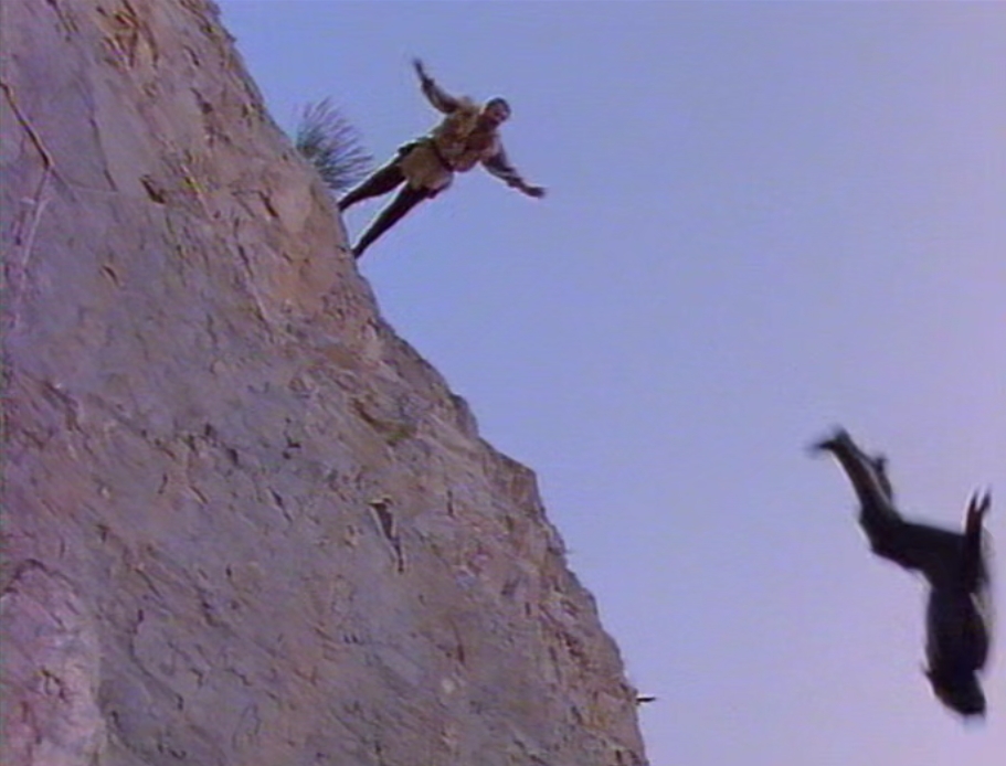
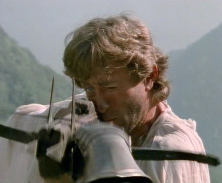
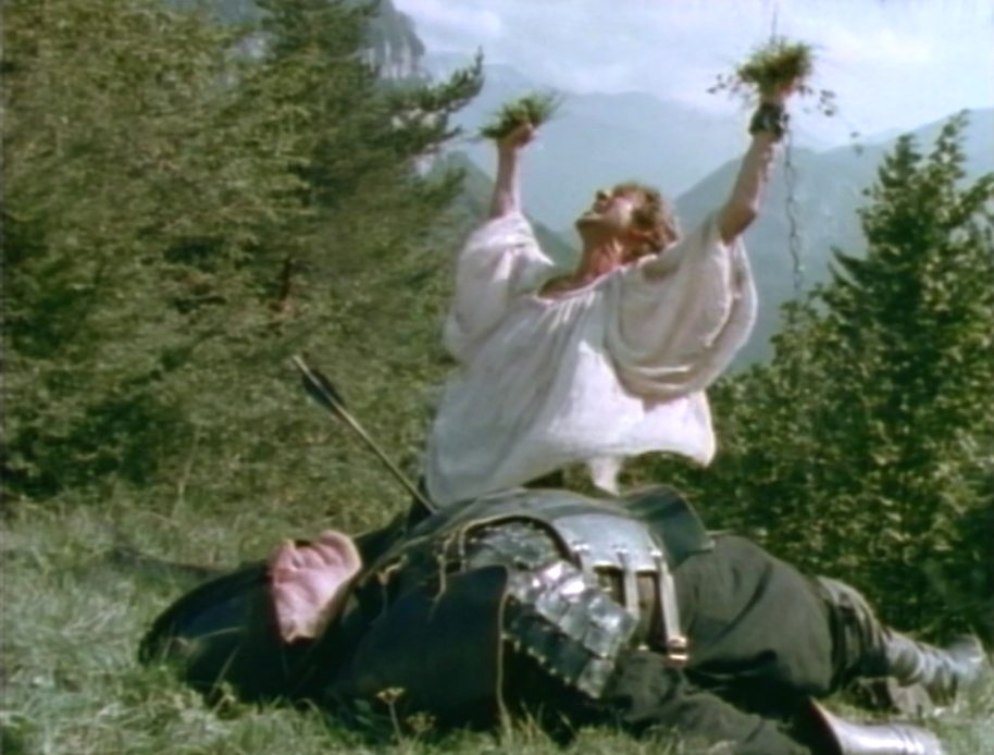
Scene: Tell takes Stefan on his horse. I like the soldier below, he seems to enjoy his scene a lot!
Cool stunt! This dangerous hunting soldier is almost near Tell and Stefan. They are taking his horse close and take off his spear and even take his horse.
And another stunt: At full gallop Stefan's stunt double is quickly changing horses.
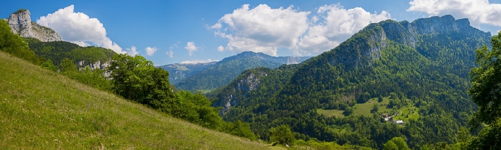
This valley is enclosed by these mountains
Mont Granier and Pinet Mont l'Outeran Mont l'Outeran

1986 Mont Joigny 2014
Above: photo taken from mont Outheran (south point. above valley the mort - road between cliffs from Desert to Corbel)
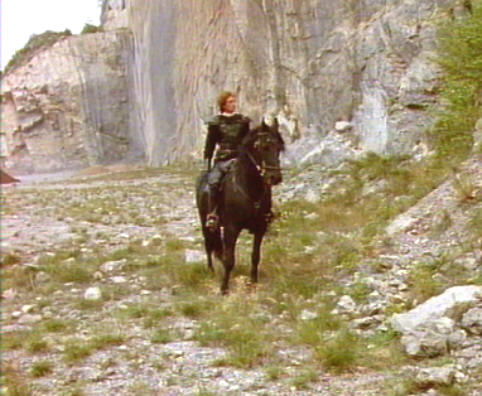
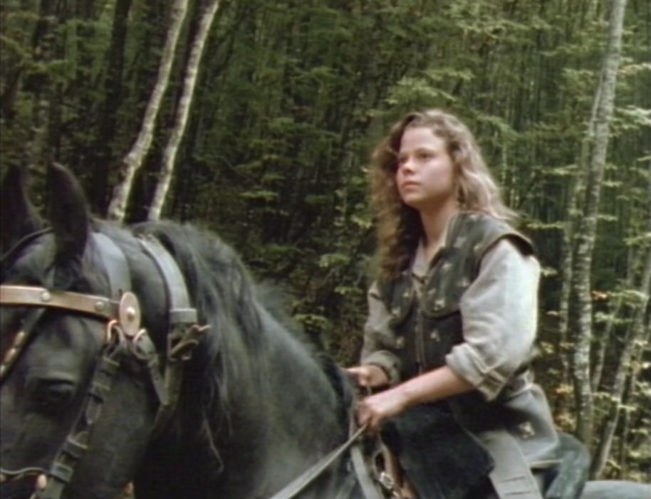
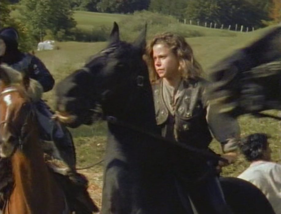
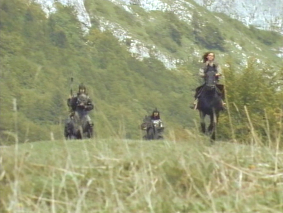
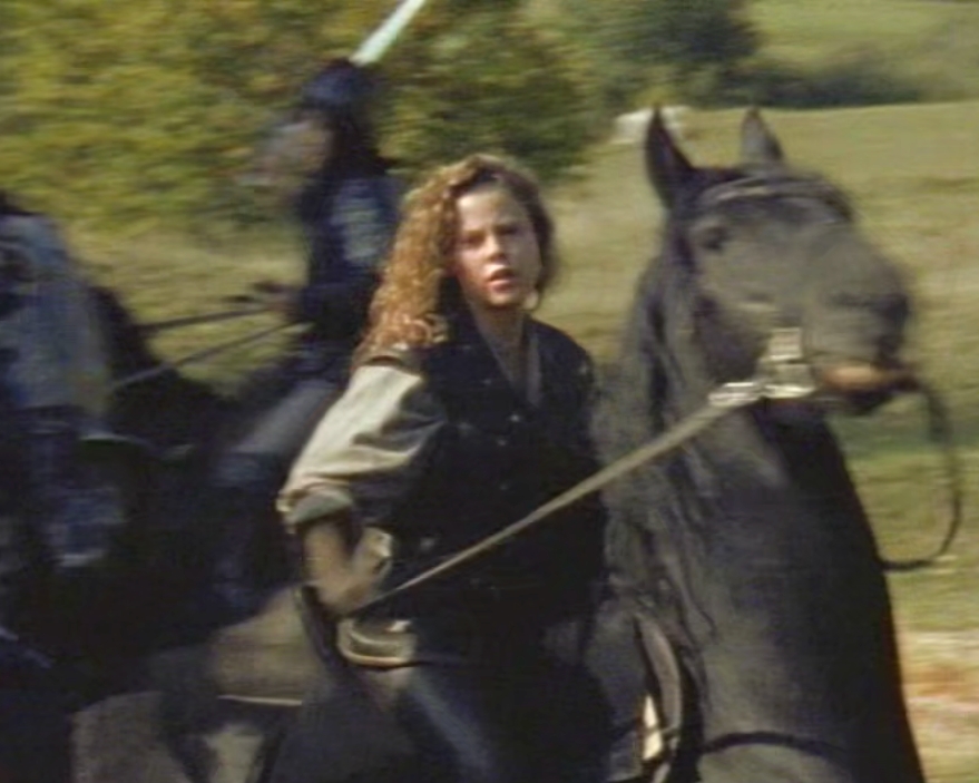
Scene: Eleanor lost Tell and Stefan
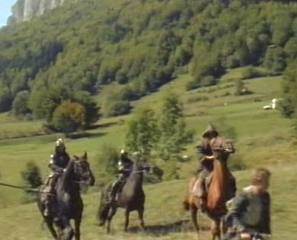
Action, good stunts, beautiful horses and endless green mountain meadows.
Location specified by C. Petit (Since 2020)
What we see from the D45 road below corresponds to what we see in the episode, but below as I said, and closer to the
little hill half covered with trees. So the episode was shot higher up and behind the road. C. Petit's clever work. Many thanks to him.
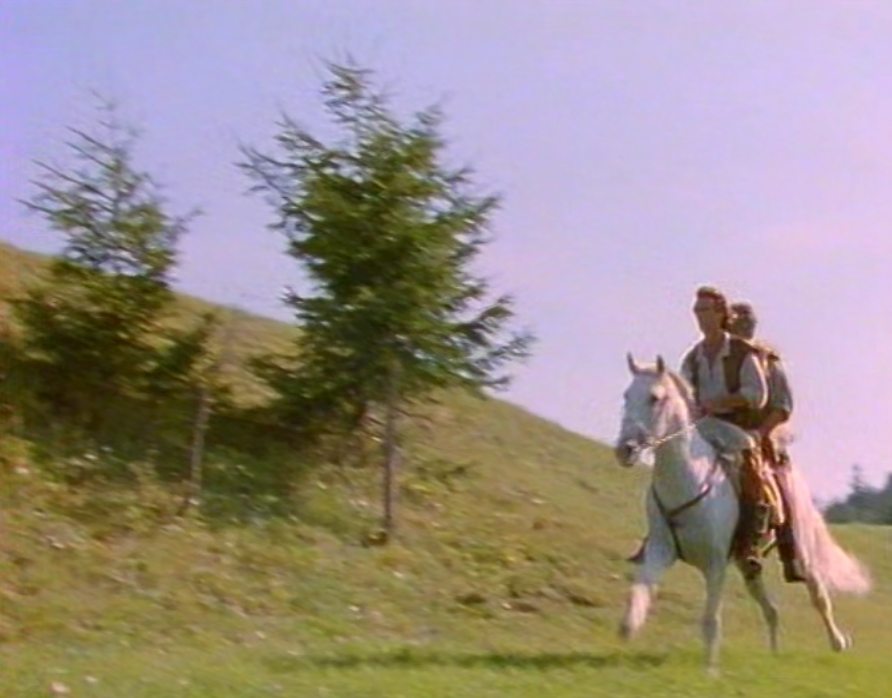
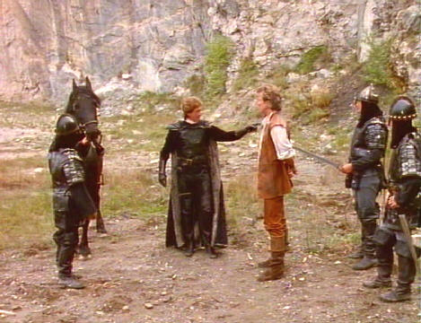
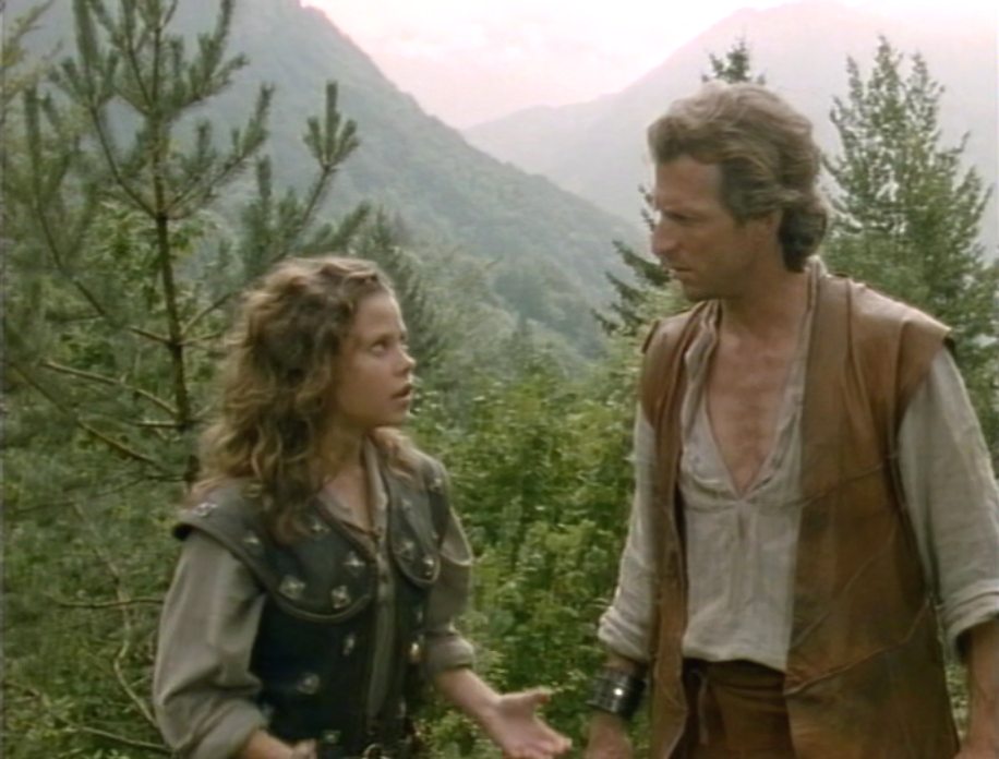
Tell and Stefan split up to find Eleanor
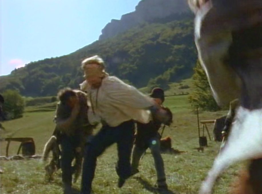
Scene: Tell finds the horses. His good mood is turning soon in worries when Stefan proposes to split up to find Eleanor. That turns out badly. Stefan falls, Eleanor is
still alone outhere and Tell is caught by Gessler. Then Gaston joins, he Gaston takes Tell and Gessler both with him. Gessler and Tell have to cooperate together against Gaston.
Suddenly everyone is depending on themselves.
Eleanor is found by Stefan. But the reunion is short-lived. While Stefan is trying to protect Eleanor, he makes a terrible fall.
|
|
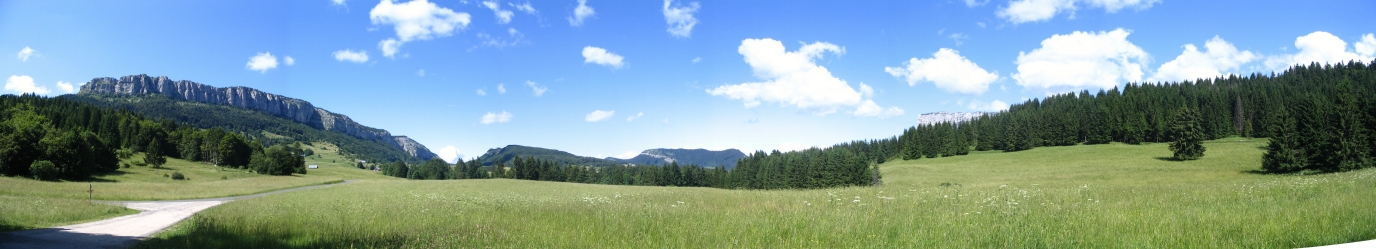
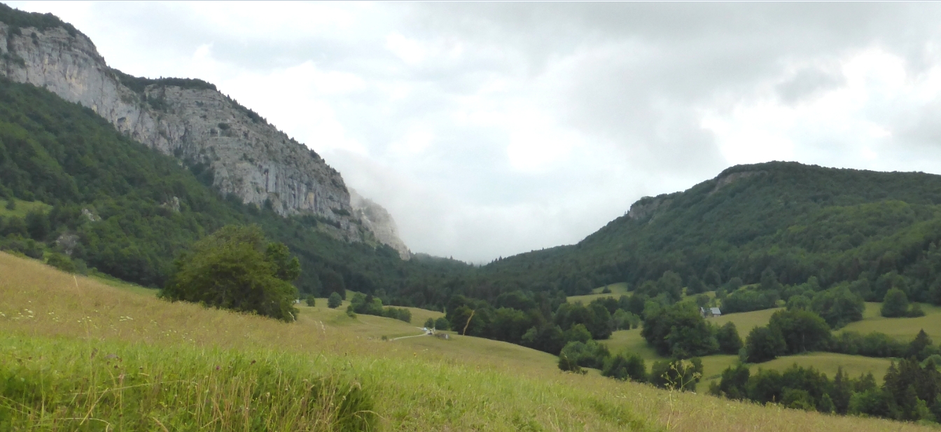
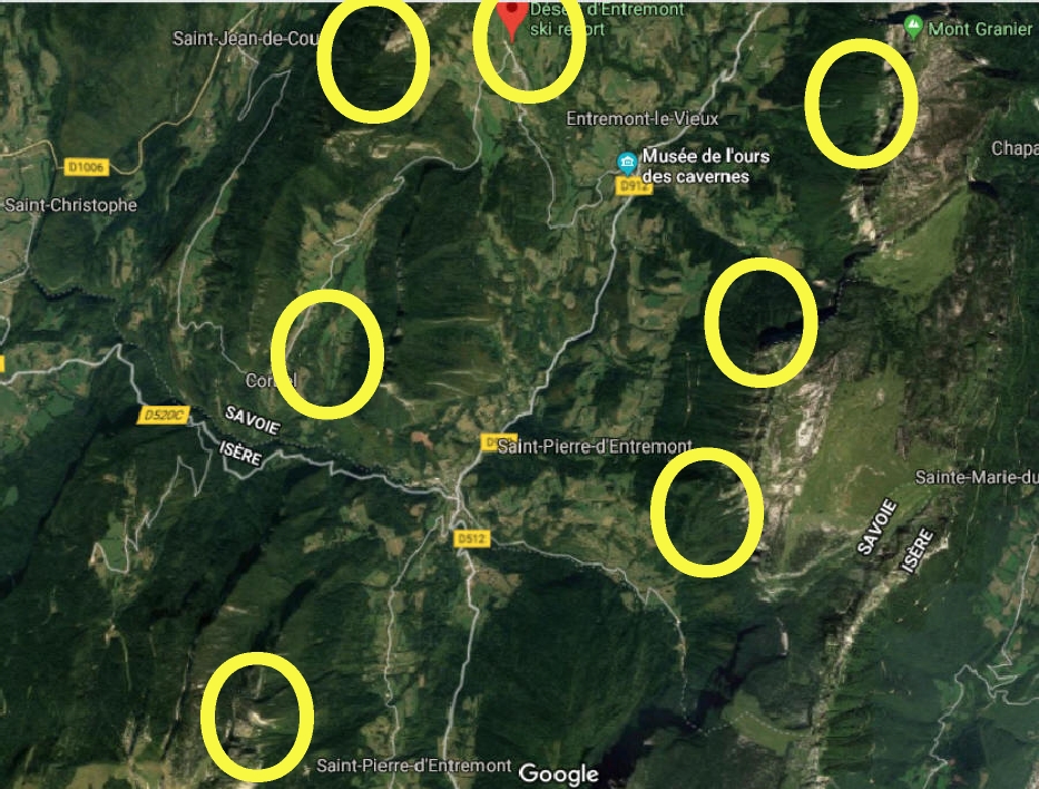
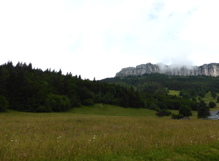
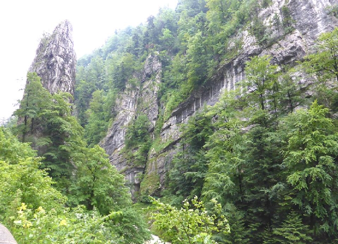
The cliffs around Desert of Entremont, still unidentified It may sound a bit complicated, but this is the best explanation we can give with so few landmarks in sight. Not everything has been resolved. We already know a lot and we won't get to know everything, especially if the shots don't provide extra information or we don't recognize mountains. No matter how much effort is required, it is also fun and we come across the most beautiful 'non crossbow' places. That is why we are happy to tell you extra info about the beautiful environments. In Crossbow; these places were not simply selected. A lot of thought has been given to it and there must be people working on it who know the areas very well, so you see varied and very beautiful places and for the once so youthful viewer back then, you see the place again after 20 to 30 years and you know what it looks like now and what the place looks like, we liked that too!
Perhaps it We are not searching for one place here, but at least 4, 5 or 6 places. We'll only know when we discover all of them, if it's even possible.
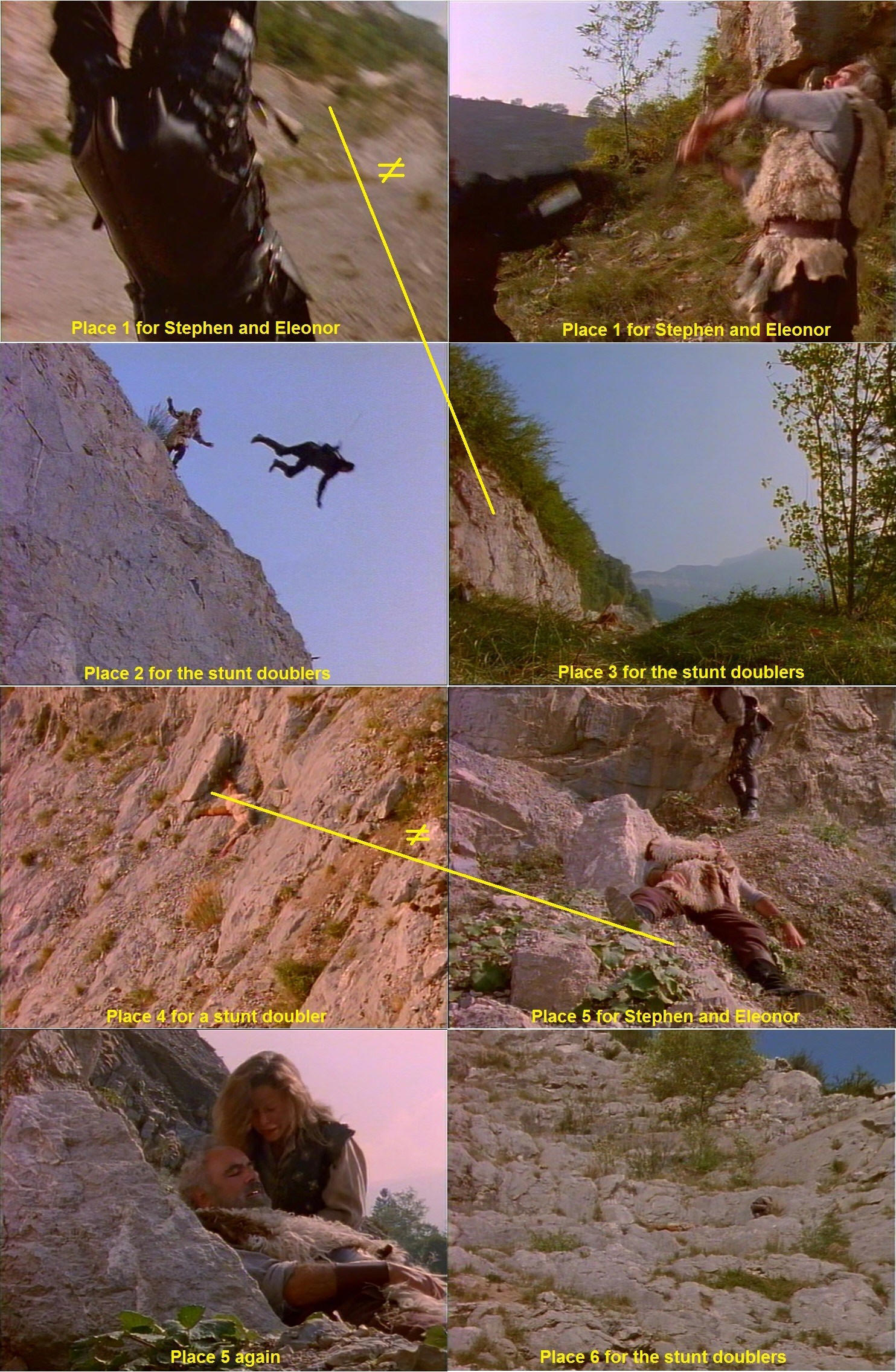
Place 1 : secured place for Stephen and Eleonor to fight. It's on a large path of little whites stones, probably alongside the cliff at the end of episode 11. The two pictures for place 1 may or may not be the same. I assume it's the same, because Eleonor roll on the path to make the black knight fall. It shouldn't be that hard to find.
Place 2 : a rather abrupt cliff of granite for the stunt doublers to perform a nice fall. The cliff may not be high though, no more than 5 meters I'd say. I don't think it's the same high cliff as the quarries, where William get caught. Still unidentified. (We don't recognize the cliffs behind yet)
Place 3 : it's clearly alongside the same cliff. This place is for stunt doublers. Maybe if we can identify the mountains in the background, we'll be able to find this one. See the picture below this table
Place 4 : maybe around the same cliff as in the place 5, I'm not sure. But clearly not at the same place! I never noticed this while watching but when you make a still you see such things. Place 4 is for a stunt double. Not easy to find though.
Place 5 : place for Stephen and Eleanor. It doesn't seem to be the same place as the yellow one at the end of episode 11. I don't know.
Place 6 : place for the stunt doublers. It's not the same as place 5, and the stunt double of Stephen is this time on a rock, not on the dust. |
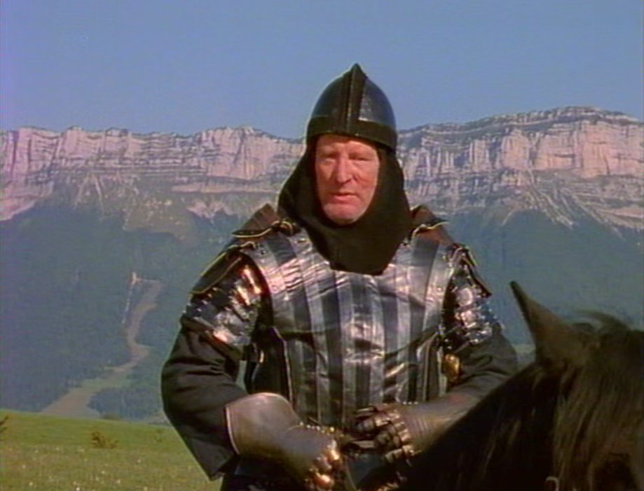
In search of the place on picture 3
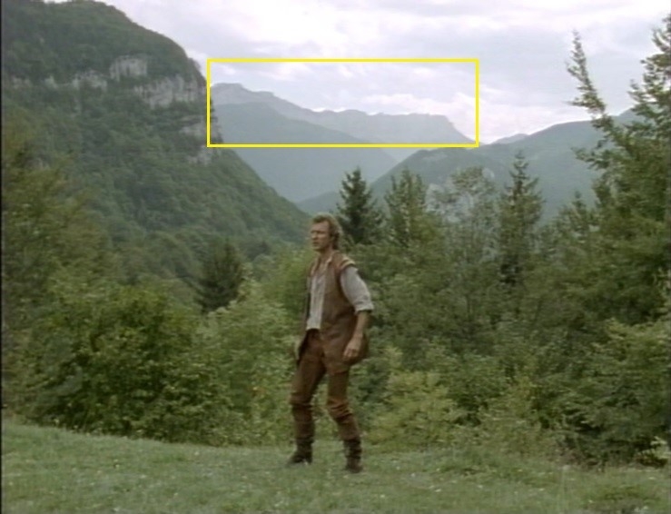
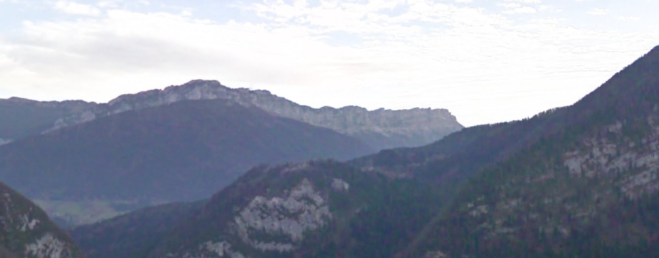
There is a high mountain behind it (see the arrow), perhaps the higher alps? In clear weather they are visible for tens of kilometers. But we are still unable to recognize
these mountains. If someone lives in the area or goes on holiday, maybe you recognize it for us? C. Petit puzzled but still has no clue about this cliff.
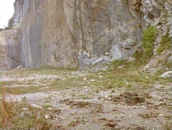
Tell alone in the forest, Gessler recognizes Tell's horse (not easy to mount your horse without stirrups, but this (scene in the middle) seems another (more relax) horse than Napolitano).
Not Tell's horse in the middle. But a less temperamental horse, so he can probably jump on it more easily. Napolitano's long gone by then :)
Not Tell's horse On the right picture: Napolitano again! Shot at a quarry.
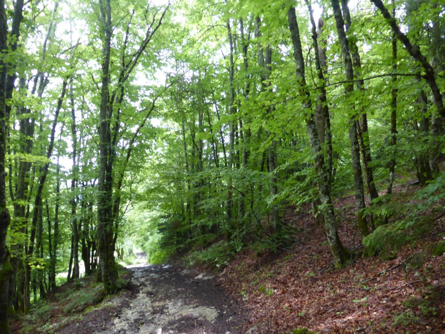
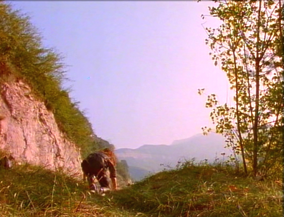
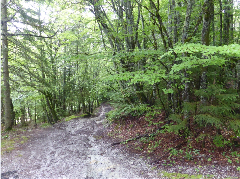
The Forest paths, like the photo left above.
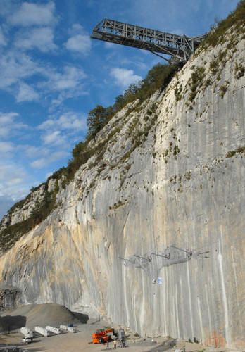
Desert Entremont unknown 'quarrie' location
The quarrie lies south of Chambery and north of mont Granier. Might be the quarries of Montagnole (notice that I use "might", nothing sure at all) These quarries now serve to test protections against
falling rocks. It's hard to find good photos, and these quarries are slightly different from the episode. But maybe it was probably not abandoned in 1987, so they could exploited it a few years more.
Either ways, I'm almost sure that it was a marble quarry in the series. And there are not many of them near Entremont (and It was on the route from to Desert). Below the map.
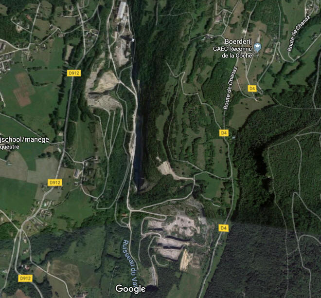
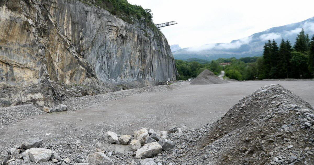
This quarry is hard to find around the desert of Entremont.
It seems to be a marble quarry, with a very high cliff, at least 30 meters, flat, very identifiable. Almost 30 years later.
All 3 pictures below: What strikes me in this photo is the object to the left.
It looks like a mountain of stones or the front of a bulldozer, it would certainly be a mine.
The quarry is probably changed by now. This scene below, we think is not in the quarry but in Desert of Entremont.
Broken path or cliff
Petit: When the place was to dangerous, the stunt doublers performed the action stunts. Like the fight before Stefan fell of the cliff, when they constantly alternate between the real actors and their doublers.
This capture below looks like a path that was broken because the ground slid down on the left. And the black knight is necessarily on a path, because Will didn't come there by climbing a rock, but by
walking on this path. Normally it shouldn't be hard to find a broken path like this, but we can't see what's the mount behind. It can be the place but we haven't been on this spot yet. It's a guess.
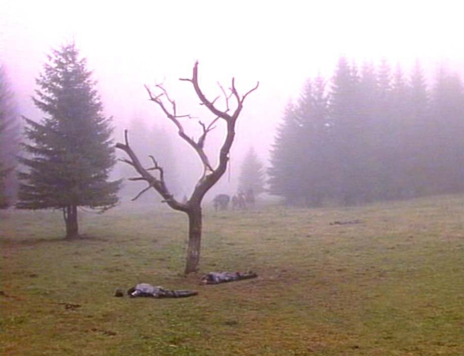
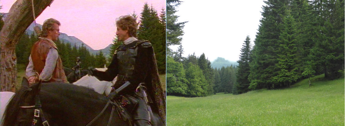
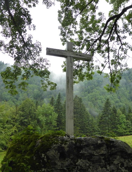
Hanging tree
Mont Outeran in the back
This iconical hanging tree isn't there anymore. Maybe it was cut down by the woodcutters around (many chain sawers when I was there). Coincidently during a hike I found the place but no sign
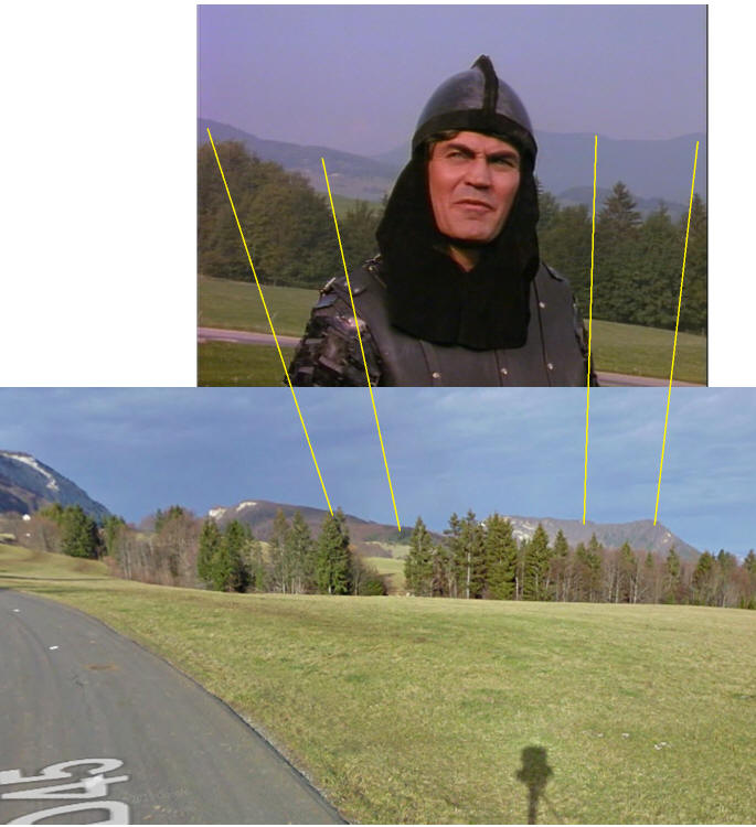
of the tree also not a kind of stump. There is no simularity of such trees, most trees in this part are pinetrees. Perhaps the tree was fake. 1986 this pictures show Mont 'Outeran well but this is not the
exact spot below it is, but because of the bad weather the rock Outeran wasn't visible in June 2014 The zoom tricks of the cameraman you always believe it's nearby but in this case it's a few hunderd
yards backward of the photographer. below you see the spot at Cole du Cucheron. This photo is made at Cole du Cluse. A field in front of Mont Outeran. |Below is a map.
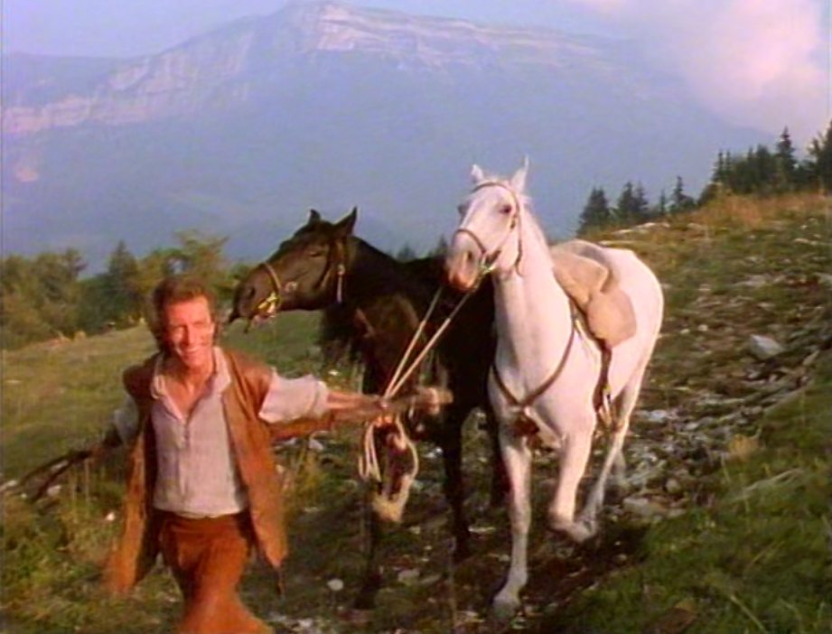
1986 We believe this 'hanging tree' is fake now then
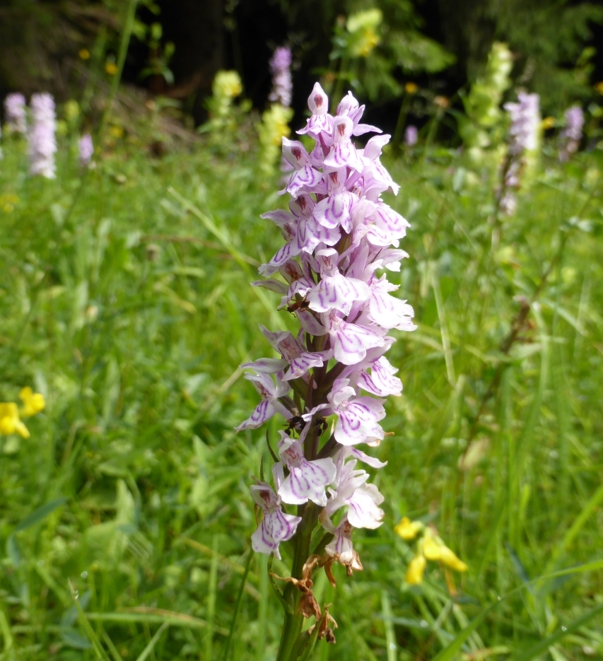
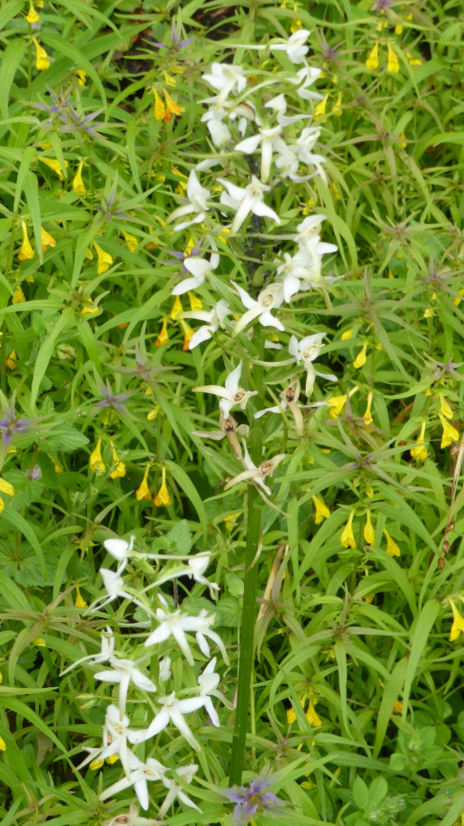
The field in 2014. So many (orchid) flowers everywhere! And behind me the valley of Entremont
Unfortunately it was so foggy in the mountains, that I couldn't perceive mount Outheran, that would have made the position clearer but I know the mountain is on the right
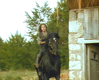
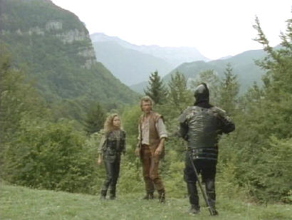
Scene: Eleanor followed them. When she wants to shoot, just someone is ahead of her.
1986 2014
We believe this 'dead' tree is fake. It was a set planted here just for the series. Mont Outeran is on the right, It was too misty.
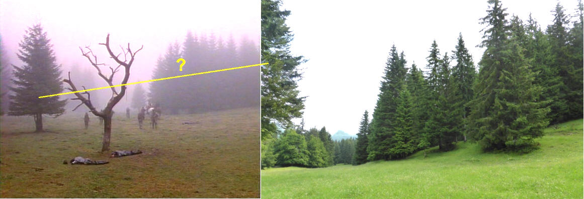
We think the tree was at Cole du Cucheron and the scene Tell picks up Stefan on his horse at Col de la Cluse.
![]()
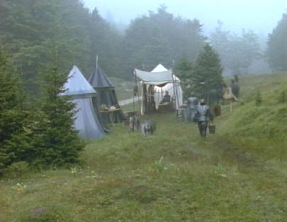
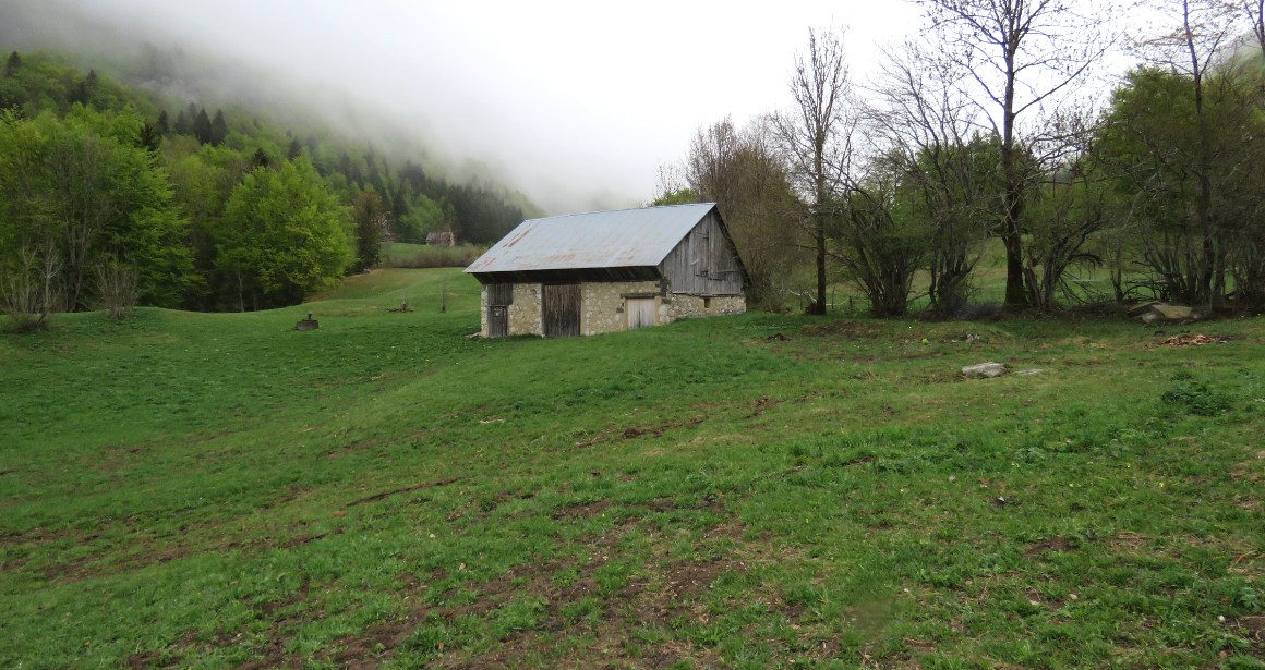
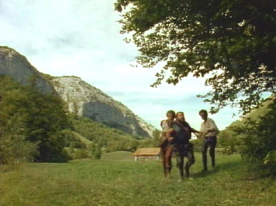
The Camp ground
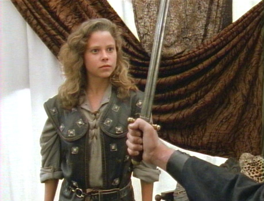
Scene: Eleanor follows Gessler and Tell. She knows she can't get Tell free on her own besides she still needs help for her father too. She goes to Tyroll to make a deal. She knows
where Gessler is,he gets Gessler and she gets Tell out of the hands of Gaston and a free way out from Gessler. The camp is probably in a field of Desert of Entremont.
The deal
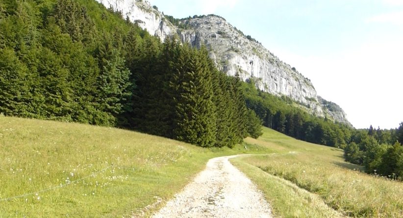
The path through the Sardinian Road (La Voie Sarde) This photo is taken in opposite, 2015 The real camp is at desert, this is the Sardian road
The camp
The camp Eleanor is riding to. It seems in front Mont Outeran. Northeast of Mont Outheran.
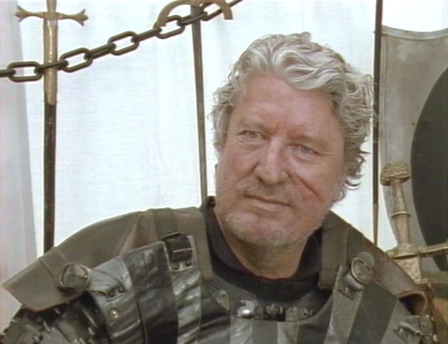
They are both weary of traps but Tyroll appreciates her courage and wants Gessler back. He sees that she is unarmed, he gives her a sword.
This is a nice example ofthe character of Tyroll. Tyroll keeps his word till the end, that distinguishes him from Horst.
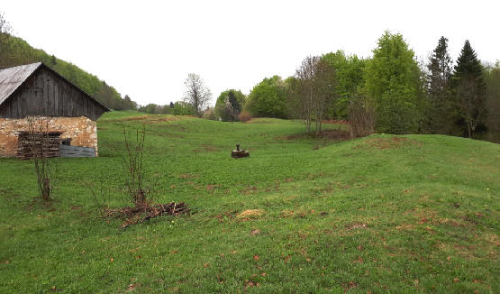
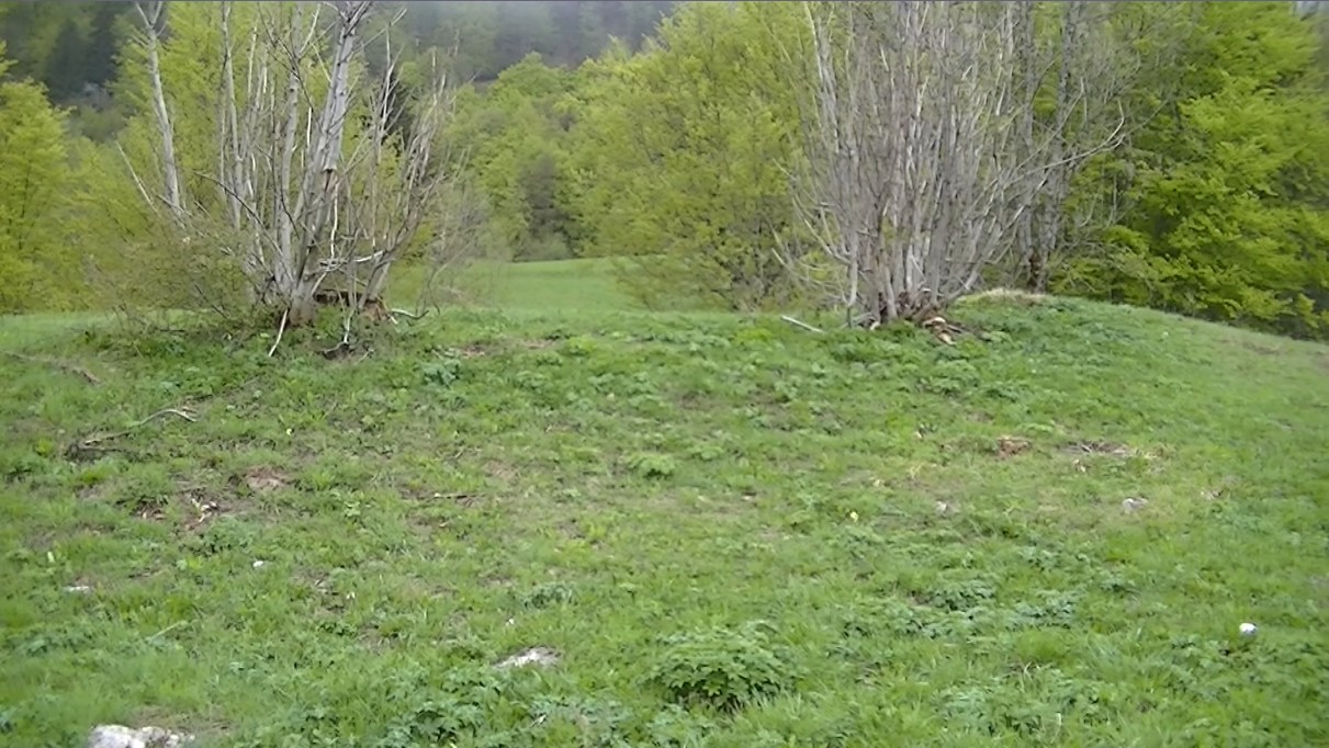
The northern field of Entremont
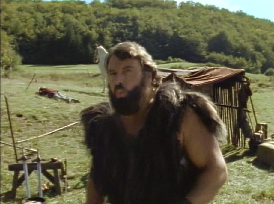
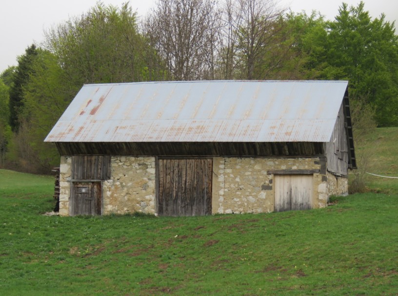
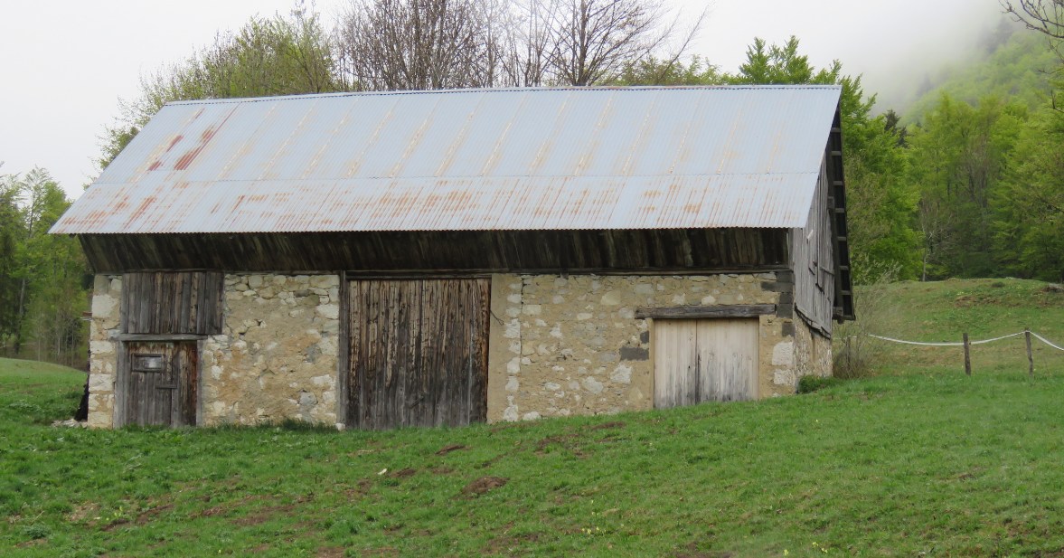
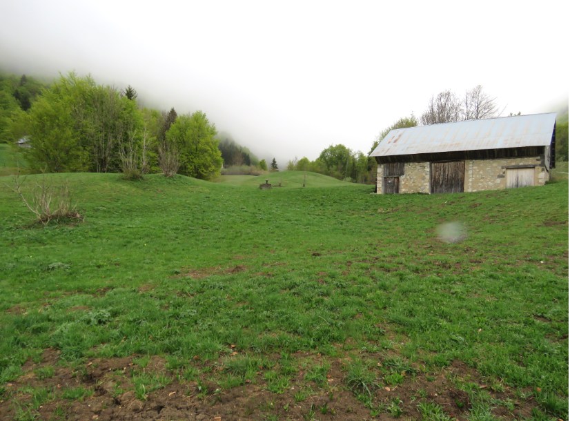
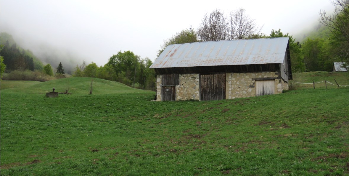
The Shed, Gaston's camp
A caravan or horsetrailer
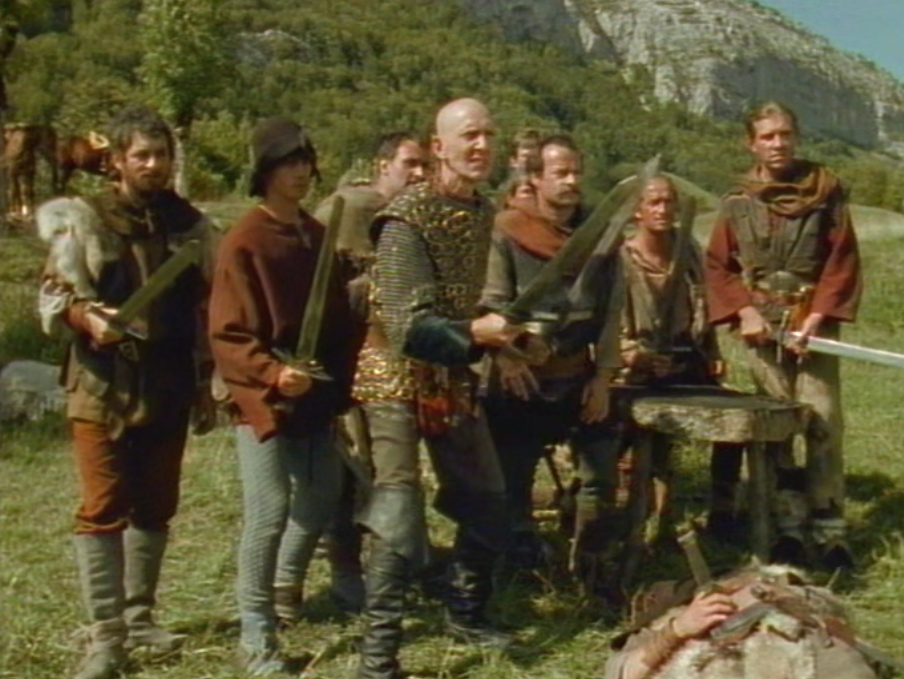
Tell versus Gessler
Mont Pinet
middle
Mont Outheran on the background 
Scene: When Gessler hears he has to fight blindfolded and against Tell, he tries to blackmail Gaston. But Gaston is not sensible for bribe.
Scene: Gaston wispers in Gessler's ear: "Gessler, you are in your favor because I tied his right arm." That could not make any sense to Gessler en he fainted.
1986 May 2018, The summer is a better season to visit this area, like Crossbow did. :)
This area is very high and in the shade there was still snow in mid-May. I have been there in July and spring but you can really only find nice flowers in the summer.
In May it's still cold up here in the pre-alps. 200 yards away there was snow on a shadow side of a hill.
The Crossbow trees were cut but rose up again. The marks of the stones are there but they are collected near the house, so there can easily drive tractors etc.
Above you can't see the huge Mont Outheran, it's hidden in the clouds.

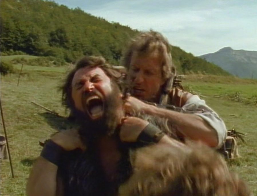
Gessler kills a bystander blindfolded. That upsets Gaston very much and he attacks Gessler... Tell, who is still attached to Gessler by a chain, holds Gaston.
L'Outheran rock in the back, north of Entremont
2014 Near the Crossbow location (shed). You need to walk a 100 yards more to the right, first you have to cross a small river 1986
1986 2018
Location: You see the top of Mont Pinet, shot from the north of Entremont. Just a 100 yards off the road.
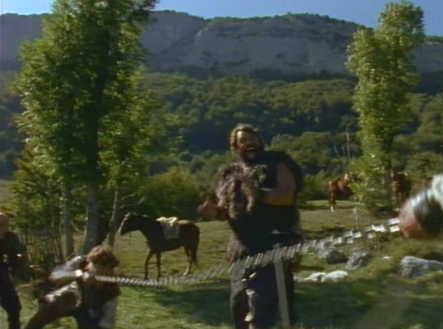
Scene: Tell and Gessler want horses, but they don't get them, because that's the only chance for Gaston to stay alive is on foot.
1986 2014 1986
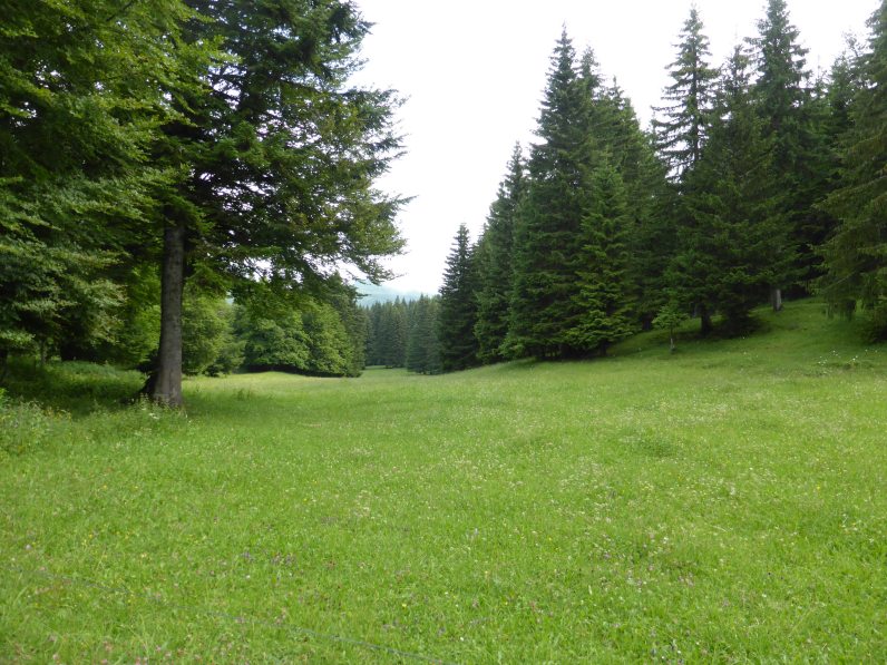
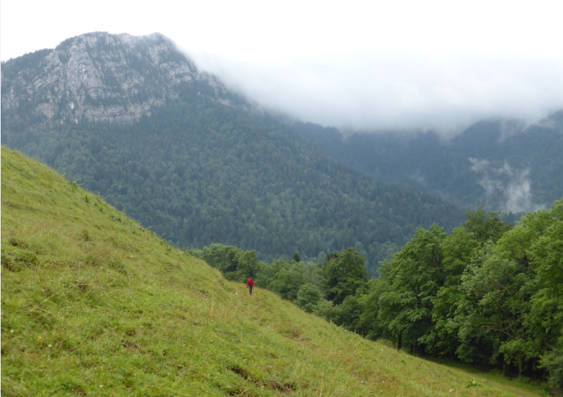
Misty fields
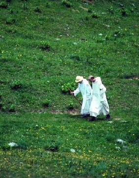
It was hard to orientate in the fields because it was so misty when we start the hike. We had no rocks to orientate on the background. We saw beautiful plants around. It's a special nature reserve!
I've been here twice and in another season I'm sure wanna come back to see what else is growing around. It's funny to hear the bells of the cows and their mooing in the fields.
1986 You still see the ridge where Gaston's men run. 2018 same spot but very misty. Rock Pinet is not visible.
The sudden attack
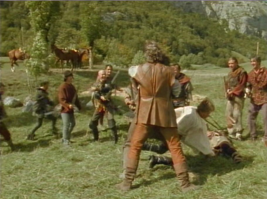
A lot of tumult in Gaston's camp. Gaston is taken by Gessler and Tell. Eleanor's attacks the camp with Tyroll and his knights. Tyroll wants his governor back and Eleanor wants to free Tell.
2015 1986
Collaboration
Scene: Tell and Gessler fled with Gaston. Eleanor arrives at the shed.
Eleanor and Tyroll are working together. At the end Tyroll falls off his horse.
At Gaston's camp.
Grendel is one of the remaining people. Only Tell's horse is still there.
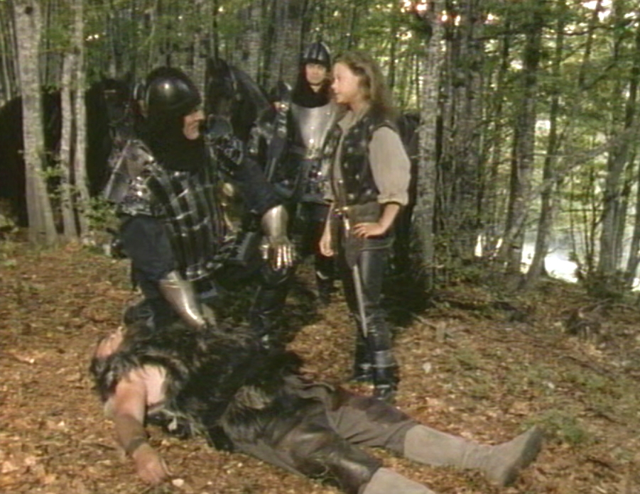
Gaston is found
Scene: Tyroll is startlet because they found Gaston dead. Now he's worried about Gessler's fate.
Eleanor is a bit annoyed by Tyroll's worries and reminds him he has to keep his promiss. Location: forest behind Gaston's shed.
Meanwhile
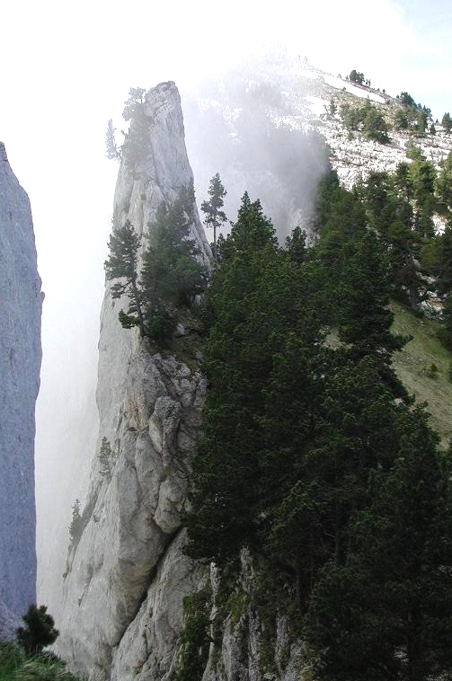
At the side of Corbel - Hard to find rock formation! This rock has the shape of a castle tower.
I didn't expect they left Entremont for this shot. hese shots were taken with Corbel in the back.
Left mountain: This rock is from the other side totally different, almost unrecognizable. Seen from St Pierre d Entremont
1986 The impressive cliff
This rock is part of roche Veryrand near Corbel. South of desert to Saint Pierre d'Entremont.
The level is most important to get the real mountain skyline. The steep mountain is behind the tree, left of Tell.
The survival
Scene: After the knife fight and no breakfast Gessler is kind of exhausted and slows down tell. Tell wants to go up in the mountains so they have to leave their horses.
Gessler doesn't want to and tries to kill Tell. He doesn't succeed but when Gessler's men get close and Gessler wants to call them Tell has to knock him down and has to
get rid of Gessler. Location forest: it can be everywhere around desert. Probably near Gorbel, because of the weather ;)
The place of arrival
1986 Left of Tell Roche Veyrand, the field is between Corbel and St. Pierre de Entremont. 2009
I found the rock while we were hiking. Petit the right meadow and he put a yellow arrow down the field.
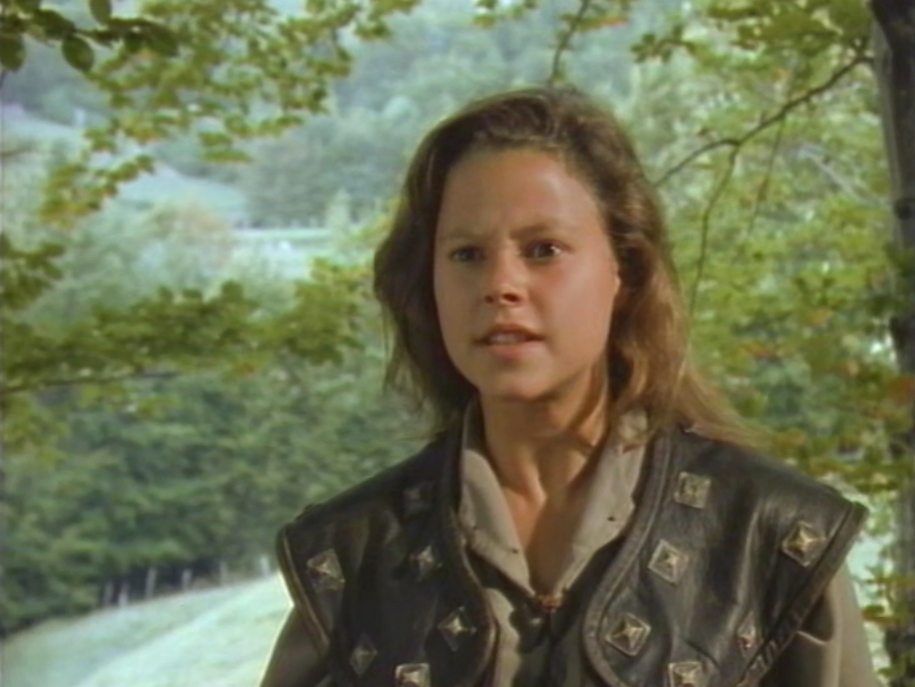
Scene: Tell is embarrased Eleanor is arriving with Tyrrol and blackknights. He asks her what's going on. Tyroll wants Gessler back, but no sign of Gessler yet...Tyroll keeps Tell untill he finds Gessler.
Location: Near Corbel. The stones will be gone I guess. Working on the land made that harder so most of the stones got thrown on each other an put in a corner of the meadow.
The Lost
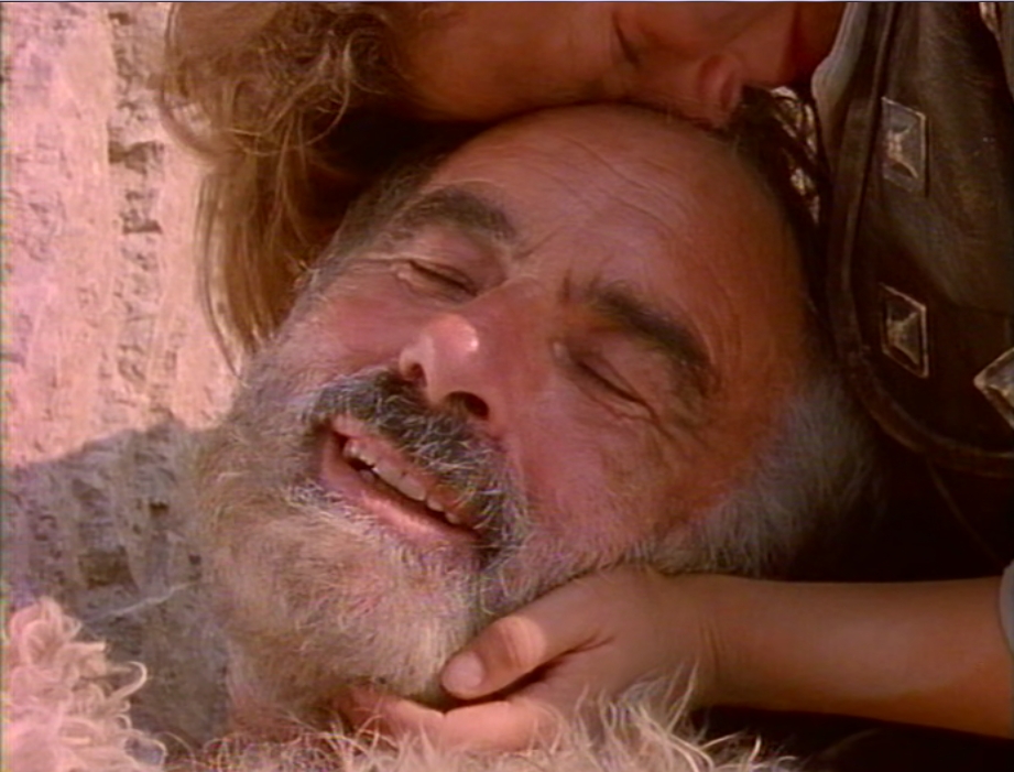
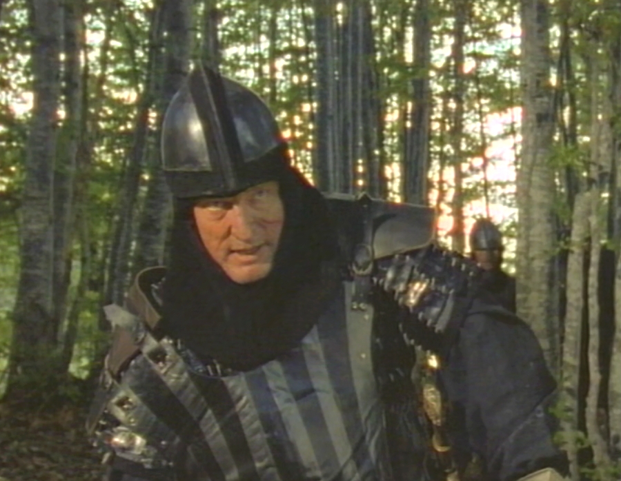
Gessler breaks the promise Tyroll made.
Gessler, happy for a moment, to see Tell is so close...
The disaster
***************************************************
Extra photos and information
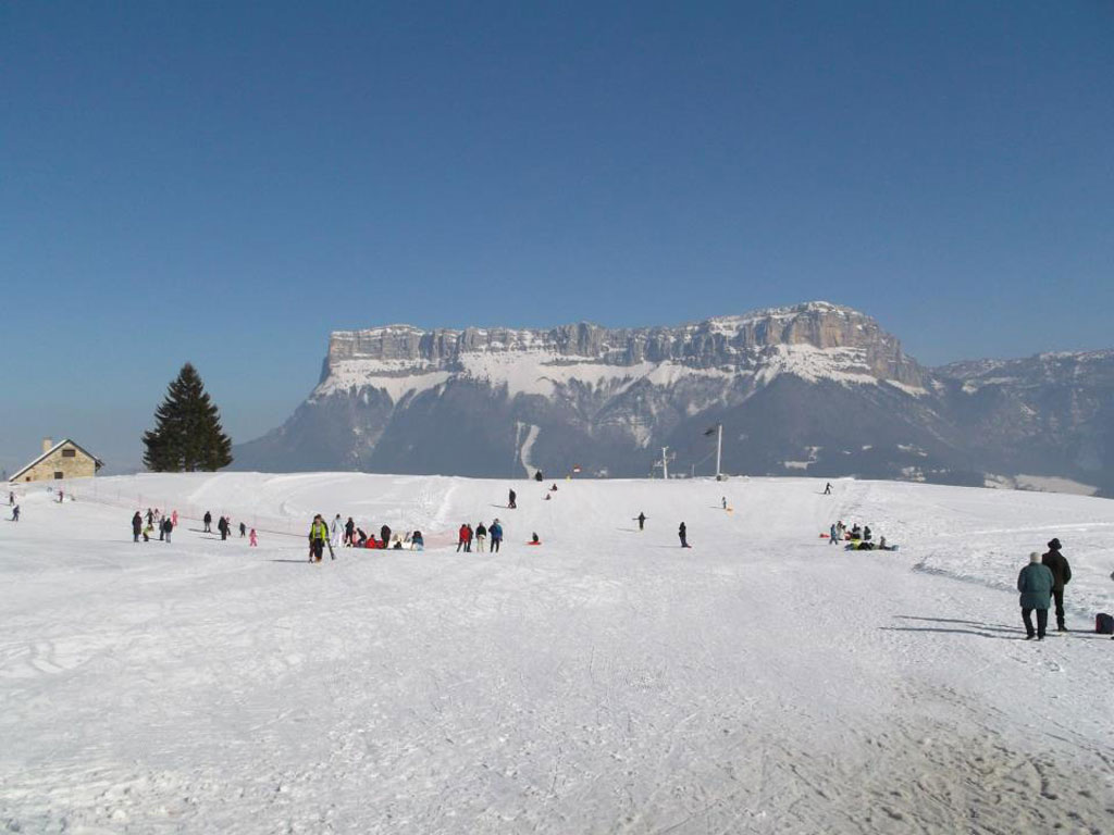
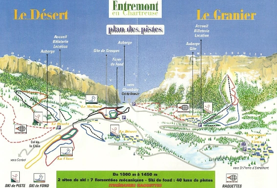
Ski area
Here you can do a lot! Enjoy hiking, riding, mountainbiking, wandering around for days, Photographing, playing the biologist as well. The Desert of Entremont and the Granier-
en- Chartreuse are two unrelated ski areas, located on the territory of the commune of Entremont-le-Vieux, in the department of Savoie in the Chartreuse massif. The estates
are located near Corbel to the southwest and Apremont to the northeast. When it is cloudy you witness a beautiful spectacle of clouds passing through. A different setting every time!
The ski region Entremonts, situated on the plateau de Désert in the heart of the regional nature park Chartreuse, offers a perfect environment for skiing and cross-country skiing. 45 kilometers
of pistes, trails and skating opportunities. You can walk here in the forest and enjoy the view of the Chartreuse and the Mont Blanc. There are slopes of every level. A skating rink and a biathlon
location are also present! The slopes are open from 9 am to 5 pm. Nature lovers can indulge in the 60 km of marked hiking trails of Entremonts, all with varying degrees of difficulty and length.
The Col du Mollard (easy, 2.15 hours), Corbel (easy, 2.5 hours), La Pointe de la Cochette (difficult, 2.45 hours) and Le Grand Carroz (very difficult, 3.30 hours).
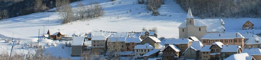
The small village of Entremont-le-Vieux only has about 600 inhabitants, but it is still a lively town, especially suitable for outdoor enthusiasts and winter sports enthusiasts.
The village is located near Chambèry at an altitude of 755 meters above sea level. The ski area La Désert d'Entrémont starts directly at the village of Entremont-le-Vieux. The village of
Entremont-le-Vieux used to be called Epernay, which is sometimes still called today. The village itself is not very special. There are a few houses and there is a church. The village must especially
have its environment. It lies in a vast valley, just below the Massif du Granier. In 1988 a major archaeological site was found in a cave near the village, namely the remains of a cave bear
(a bear-like from the Pleistocene). There is now also a museum dedicated to it. Near the village is the ski resort La Désert d'Entrémont, a small winter sports resort on the slopes of the Chartreuse mountains.
In winter, with presence of snow, we can practice downhill skiing , sled, etc.. The ski station was built in 1968. Cross country skiing nights are sometimes organized. The tracks are lighted during the events.
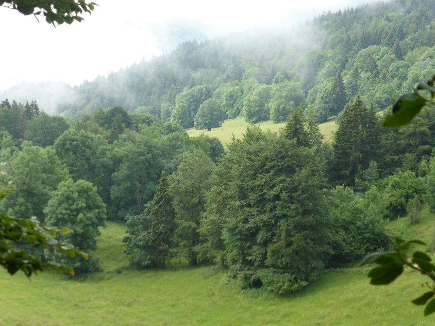
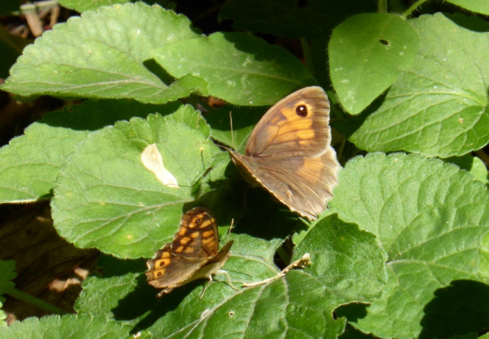
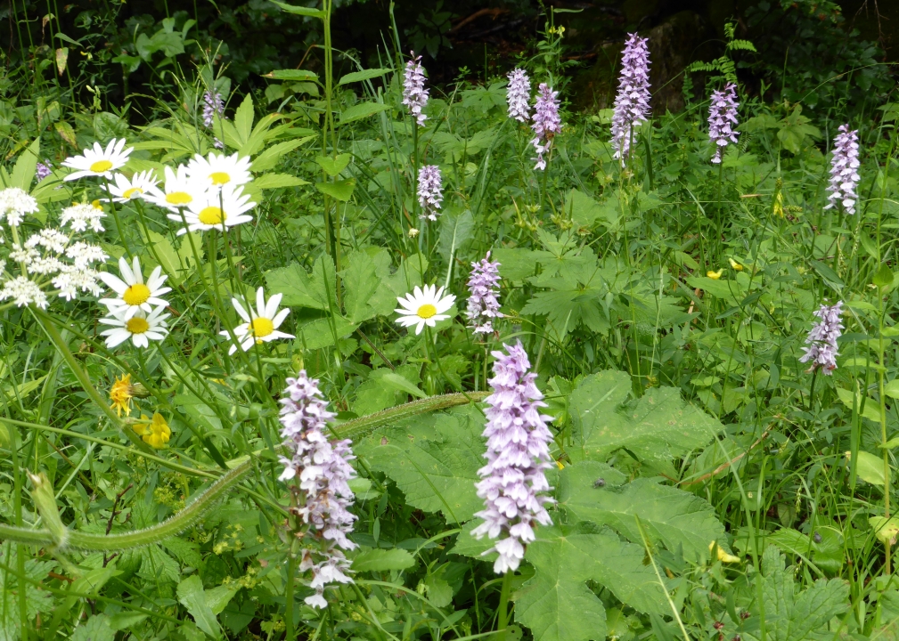
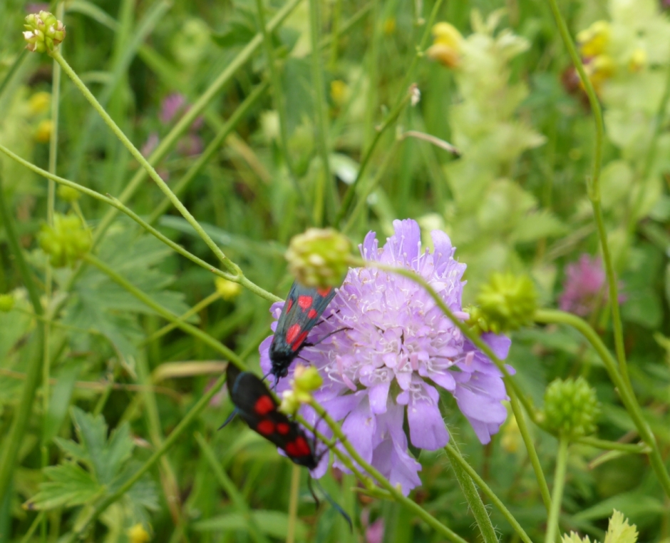
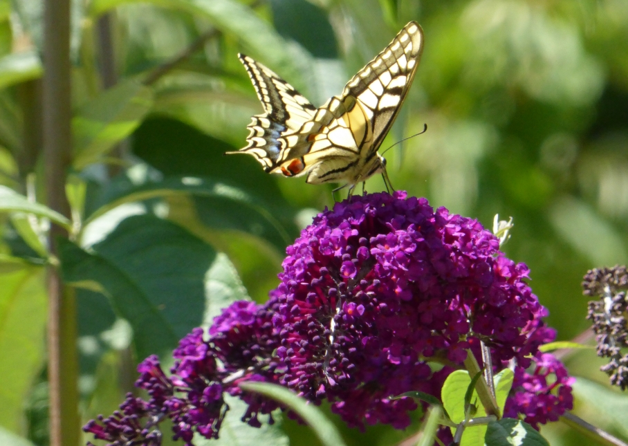
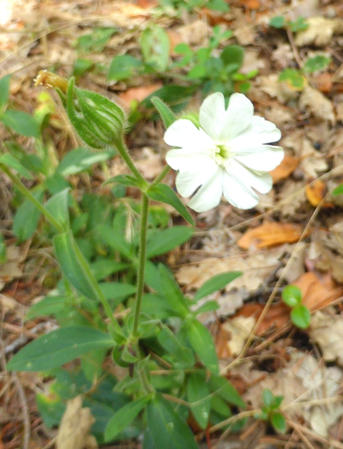
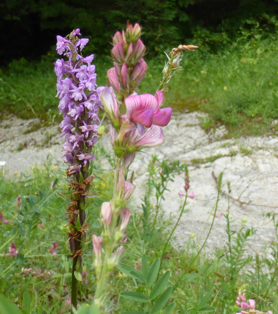
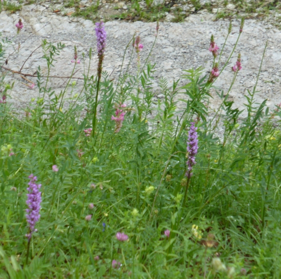
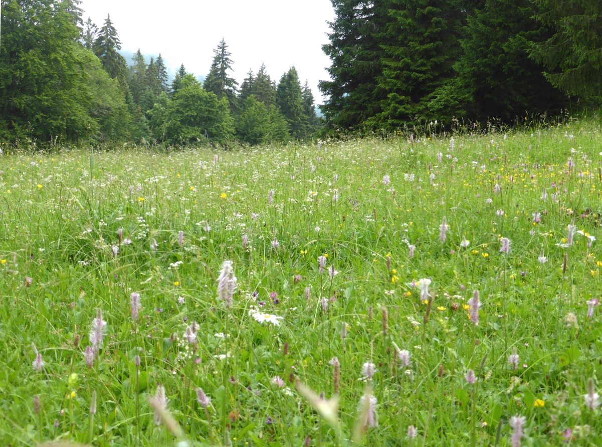
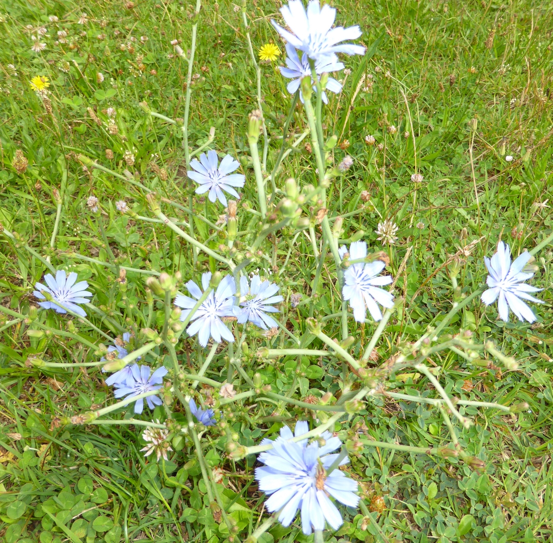
Beautiful nature of Desert of Entremont
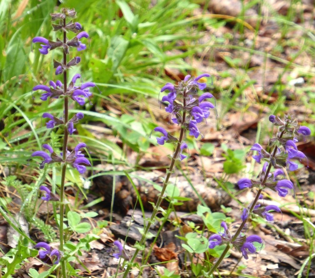
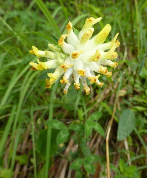
The richness of flowers
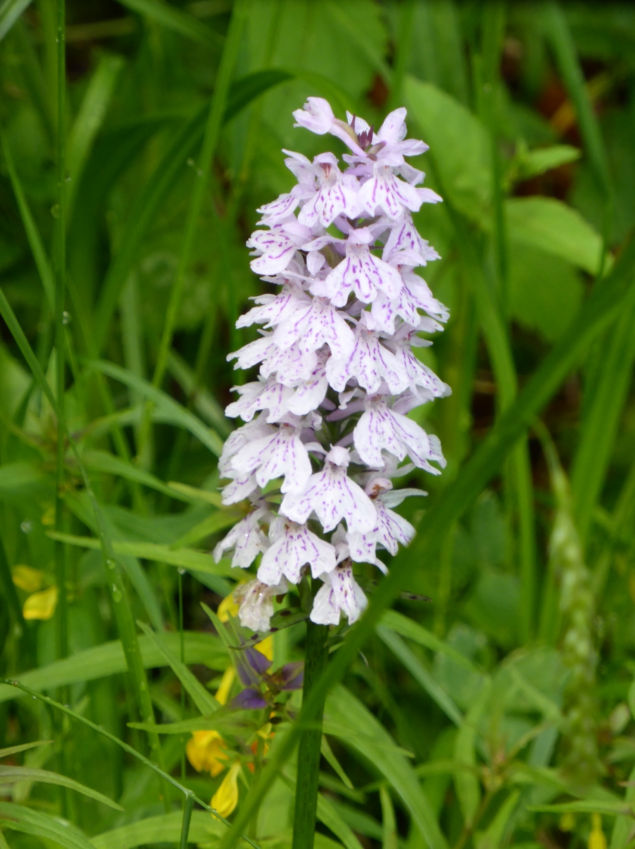
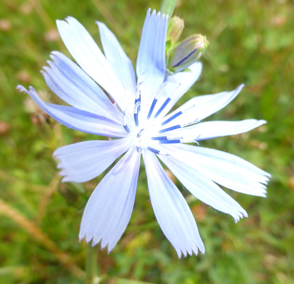
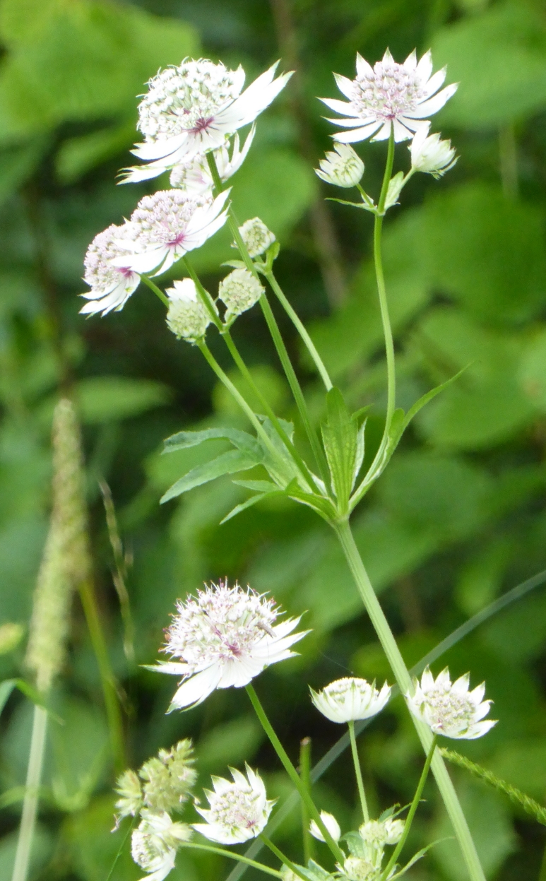
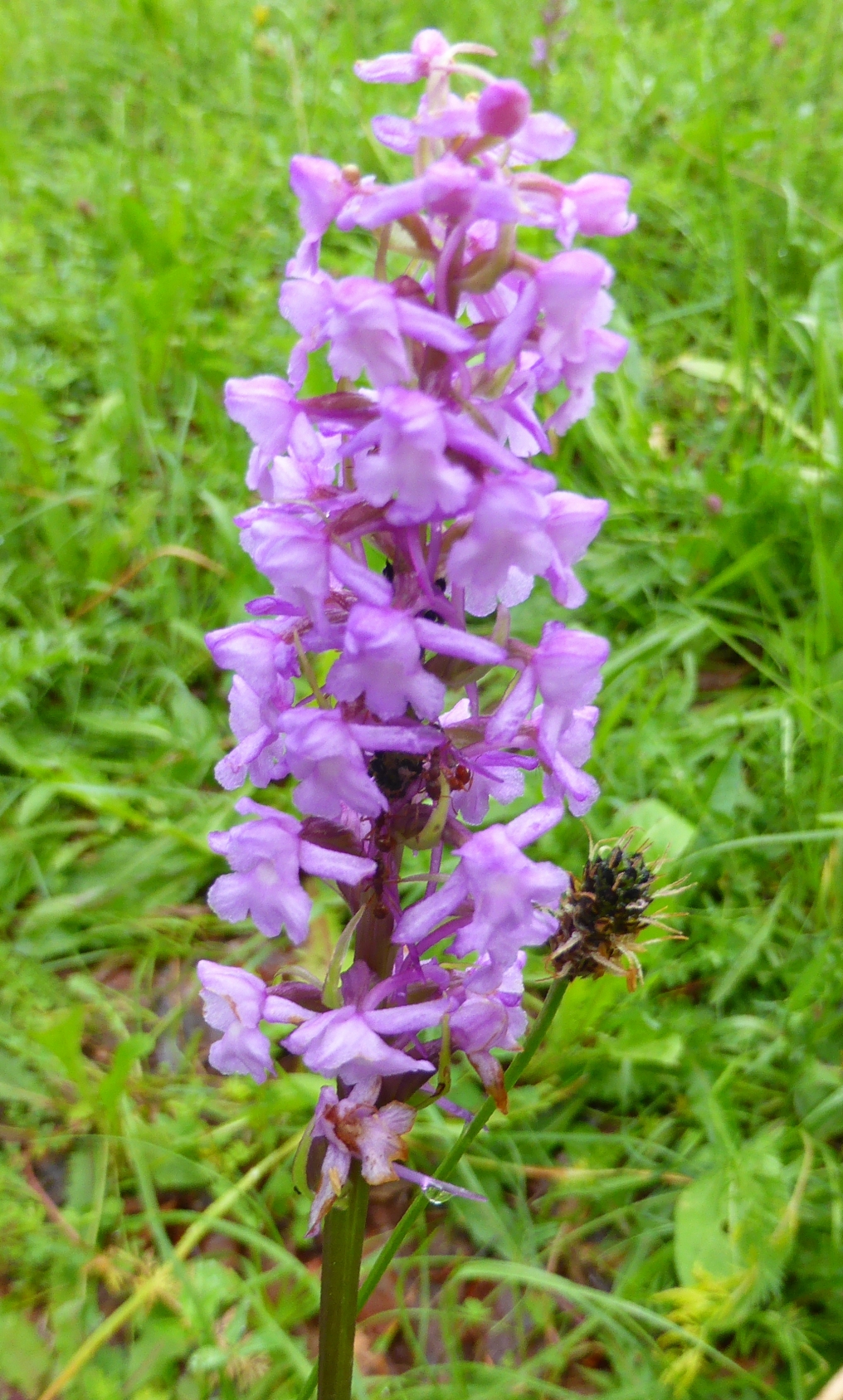
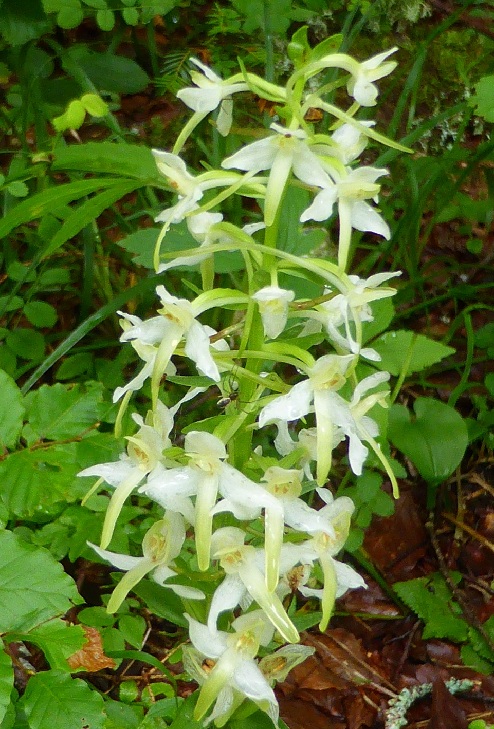
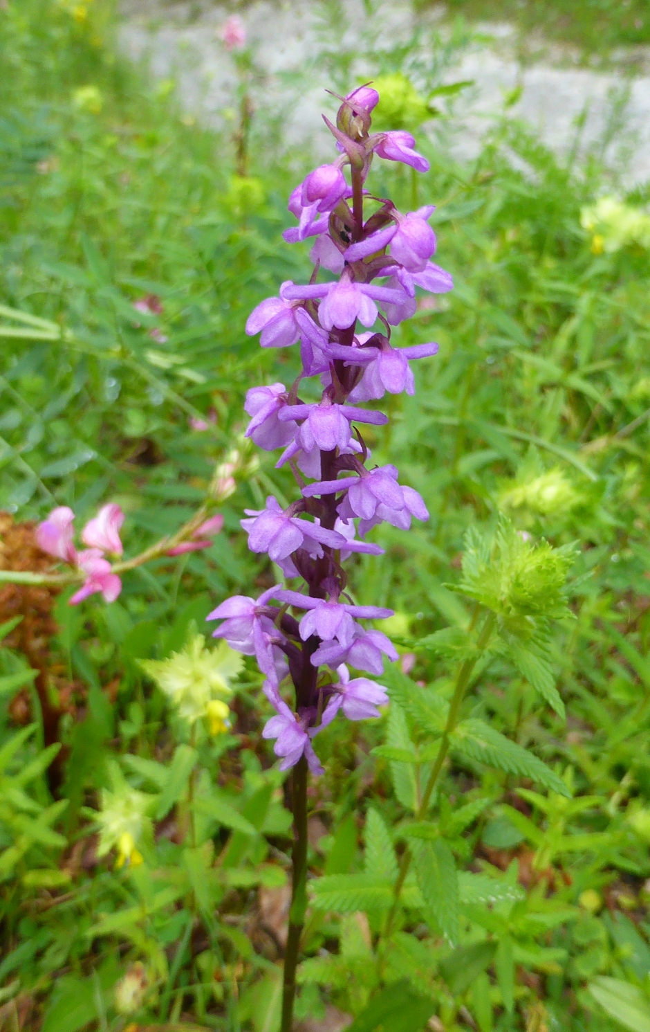
If you can see the small things then life is much nicer. Respect and protect nature so that it remains beautiful for everyone to enjoy for generations
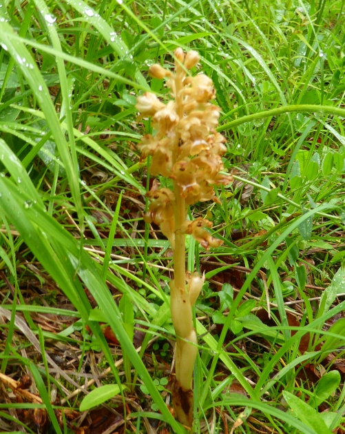
The orchis (left above) is not dead. It's a pretty rare orchis. There are a lot more flowers.
We must be careful with devastating mechanical technologies that have no consideration for the nature. It is not the intention to come across as learning, for instance desert showed me this is a beautiful
nature area of pastures and how they can be. Fortunately this is a protected area. But outside the beautiful natural areas, arable farming has become very intensive in many places in the world and
biodiversity is declining. I myself live in an area in the Netherlands where it is the order of the day. Then whole fields are awfully quiet. No insects and no birds, deadly silence during the
spring and summer. That is a shock. Hopefully there will come a day when Europe gives priority to this and nature can recover.
Environement
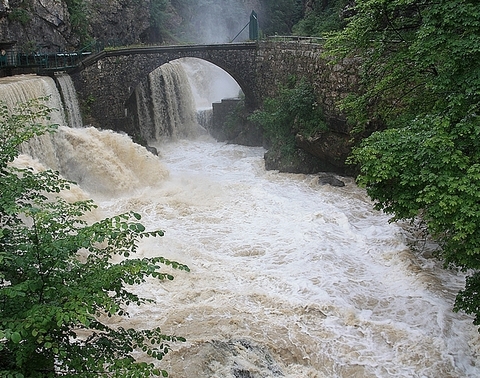
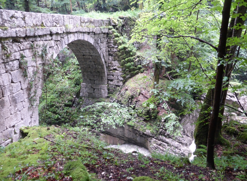
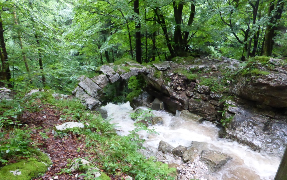
Guiers Vif, river in the area. The roman 'St. Martin's bridge close is a wonderful ancient bridge.
Today the Roman road is only a minor road, little more than a comfortable footpath, but still some Roman remains are left, like the impressive Saint Martin's Bridge. The Guiers Vif,
after recovering the waters of the Cozon Saint Pierre d'Entremonts, flows into the gorge of Frou, spectacular but dangerous (do not go without precautions). Downstream, the Guiers goes
out to the Roman bridge, to St Christophe sur Guiers, where it becomes a river of plain and for Fisher men: with trouts of beautiful sizes. Guiers Mort and Guiers Vif finally meet upstream
of Entre Deux Guiers to form a larger torrent that crosses the Gorges de Chaille. Guier's Vif rund under pont St. Martin attached to Voie Sarde. See below on the map Guier's Vif.
Guiers Mort
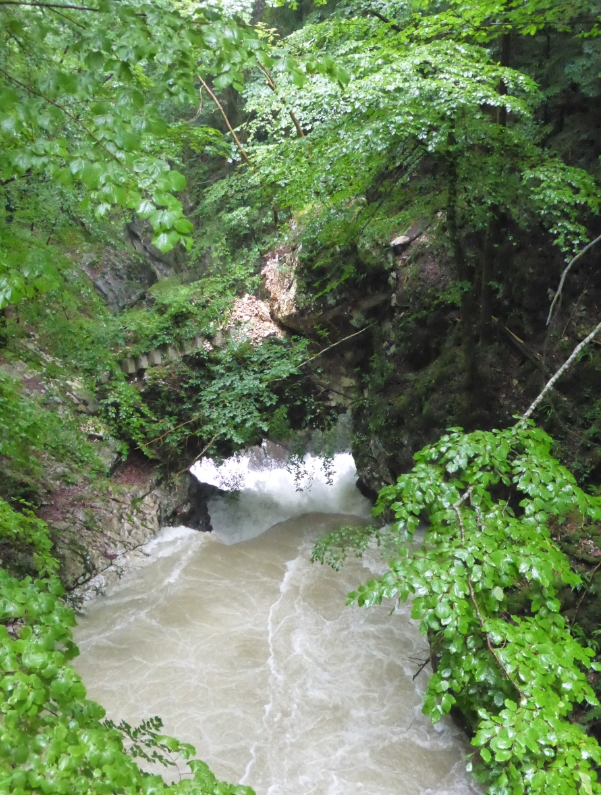
By coincidence we visited Guier's mort, what a power of nature! Beautiful old bridges, wild river and many waterfalls. In the Guiers Mort, upstream of St Laurent du Pont, the torrent
is difficult to access, but you can practice all fishing We take zebra trout. Downstream from the village the torrent widens, becomes quieter with banks edged with willows. Guiers Mort
is a rough river in Chartreuse. Populair for caving, climbing, hiking and survival.
The water
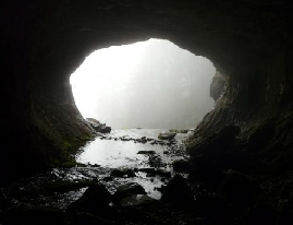
runs out of the mountain here. The stairs on the right photo we better not take
![]() From this cave the Guiers Mort leaves the mountains and
started as a river.
From this cave the Guiers Mort leaves the mountains and
started as a river.
Le pont Perent, Guiers Mort
Constructed around 1500, it replaces an old natural bridge, located a little downstream and forms two rocks close to the top hard torrent. it is no longer borrowed from the 1865 to the construction of the new
road the Perent bridge built in white caicaire size consists of a archeunique semicircular. The damaged stairs lies behind Pont Perent. When we were there around May the water was very wild and transported trees and rocks.
The pont Vache, Guiers Mort
Behind this ancient bridge is a waterfall that comes out in the Guiers Mort. Located downstream of the wooden walkway, it dates probably from the 15 th 16 the and tire some name of the
Brook crosses the cow small the deterioration of the bridge is due to the many floods of the torrent. Today only the arch, partially raised and supported by a wooden formwork.
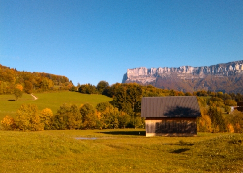
Pont Vache Desert in autumn colours
![]()
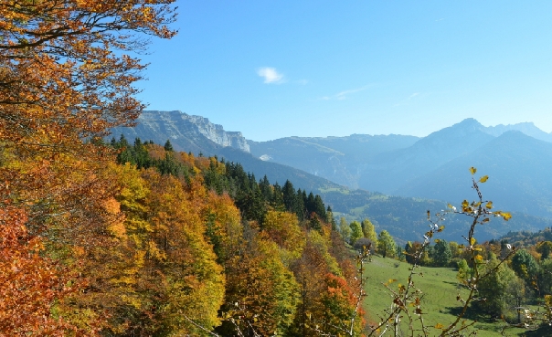
Roche Cochette in
opposite. The Grotte in front and one riche further behind
Mont Outheran Desert of entremons Roche La Cochette
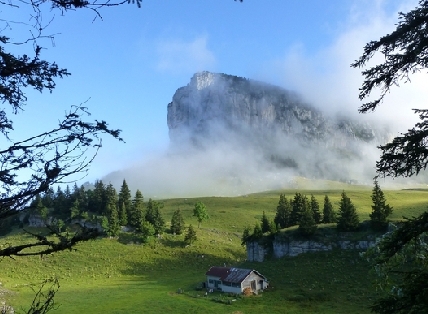
Extra photos of Mont Granier
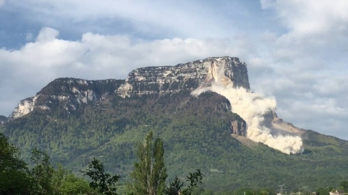
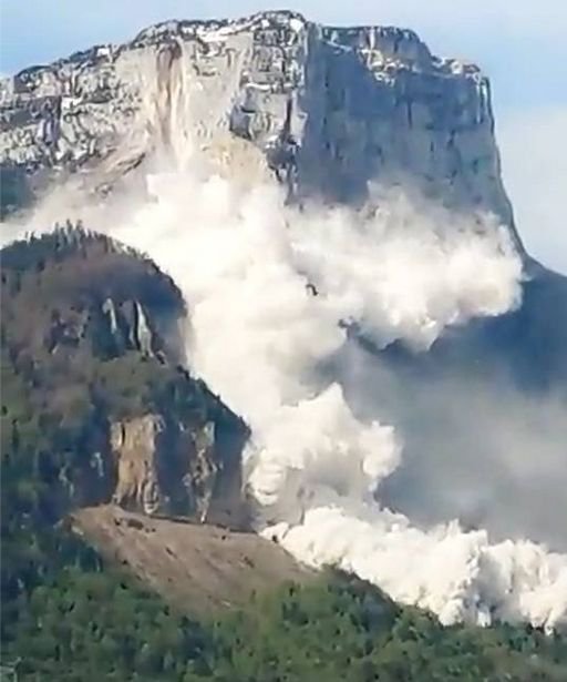
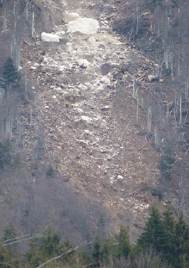
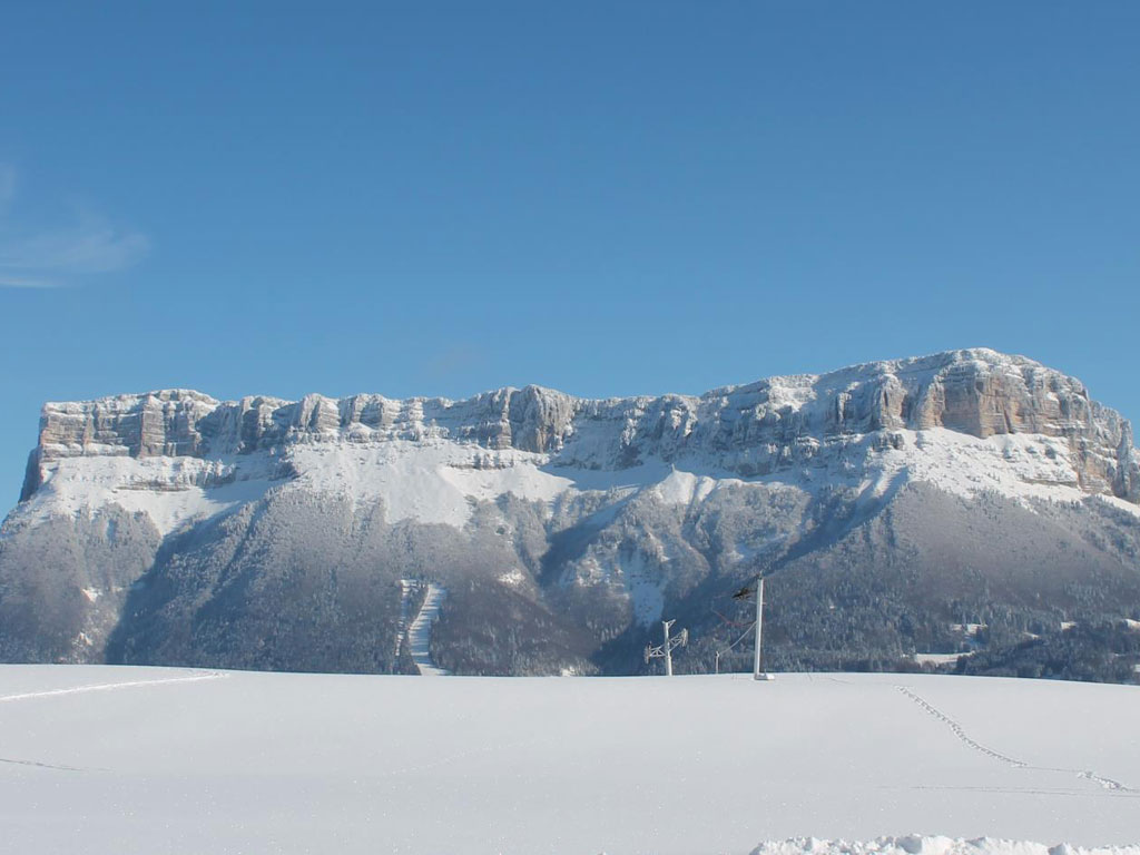
When I was there in 2014 a part has fallen down of the rocks, a track of stones were rolling down towards the valley. 2016 After the night, when the fog finally dissipated people could see that there
was one end of Granier missing. A landslide of about 100,000m3 occurred on the western pillar of Mont Granier. A whole section of the mountain collapsed, taking with it a part of the forest.
"A pan towards the west pillar and a part that went down on the north face. The biggest part has fallen on the sector of Entremont. A big mass. This landslide reached the forest slopes and the
snowshoe trail in the town of Entremont-le-Vieux. Fortunately without casualties. This is not the first time this has happened. This mountain is infamous for the collapse of the year
1248 which made about 4000 dead and left us the highest cliff in France: 900m. Hiking of skiing around these steep mountain are not without any danger.
January 9 2016 at 5 pm was not an earthquake, but the collapse that has been registered by several seismic stations of the region and even in the Valgaudemar, reveals a research engineer at the CNRS,
technical manager of the "observations" services of Isterre (Institut des Sciences de la Terre). A helicopter reconnaissance was carried out by a team from the Mountain Lands Restoration Service,
before the Prefect made an initial assessment of the the damage. This phenomenon results from a natural evolution of the cliff, and by its importance is incommensurate with the landslide
that occurred in 1248 which then represented about 500 million m3. Sometimes the monts like Mont Granier has to close hiking trails as long as the danger is gone.
Chartreuse
The Chartreuse (French: Massif de la Chartreuse) is a massif in the French Pre-Alps, north of the city of Grenoble and south of Chambéry, the old capital of the historic country Savoy. The massif is
located in the French departments Isère (75%) and Savoie (25%). The massif is about 40 km long (in the direction northeast / southwest) and 15 km wide. To the east and south of the massif is the valley of the Isère.
Below the extreme southern tip of the massif, near Grenoble, this valley makes a right-angle bend. As far as drainage is concerned,
Guiers is the most important river, two branches of which cut through the massif from east to west. This water does not go to the Isère but (directly) to the Rhône.
The capital of the area is Voiron.
The name "Chartreuse" is probably derived from the Grande Chartreuse monastery, which in turn was derived from the village of Saint-Pierre-de-Chartreuse.
Another hypothesis is that the name Chartreuse first stood before the region, after which the names of villages and the monastery were referred to the region. Right: Pic du l 'Oeillette.
Pic de l'oeillette, Guiers mort river.
The picture left is Pic de L'oeillette, second: this rock has no name as far as I can find. It's near Pic l'Oeillette and looks to me like a huge Morena fish head.
Dangerous roads
Dangerous roads are everywhere, but they are mainly here ;)
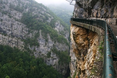
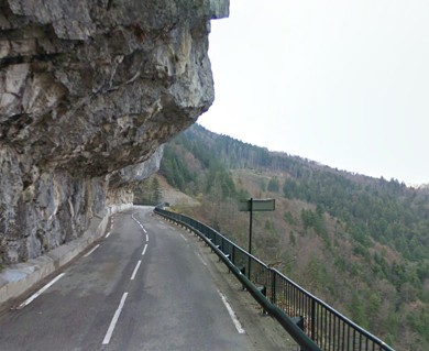
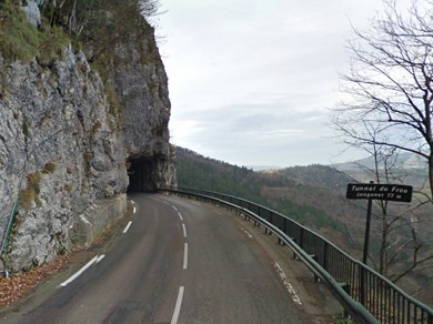
Gorges du Guiers Vif is a very scenic canyon located in the Isère department in southeastern France. It’s one of the famous French balcony roads. There is
little room for error on this road.It's normal for your palms to sweat looking at those photos, imagine what it must have been like before the barriers.
The road along the gorges, also known as Gorges du Frou, is called D520C, also known as Route des Entremonts. This road has humbled many egos. It’s not for
the sissies and shouldn’tbe attempted by novice drivers. The road is 11.8 km long and climbs up to Pas du Frou, at 621m above the sea level.
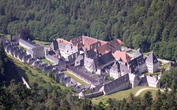
Grande Chartreuse
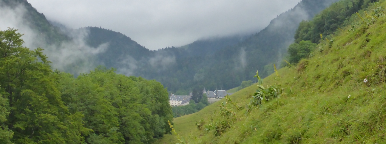
There is made a documentary Le grand silence. It's a large monastery, hidden in a silent valley.
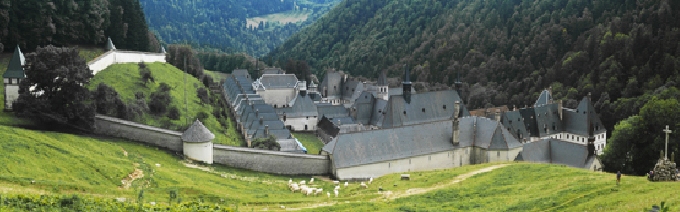

Somewhere in Chartreuse mountains....there is huge hidden Chartreuse monastery..
There are hikingtrails in the surroundings of it and a museum nearby. The monastery is closed for visitors. The Grande Chartreuse is the mother house and the first monastery of the Order of the Carthusians.
The monastery is located in the commune of Saint-Pierre-de-Chartreuse. It is located in the heart of the Chartreuse at the foot of the Grand Som, about twenty kilometers north of the city of Grenoble in France.
The monastery cannot be visited. However, there is a museum 2 km away, dedicated to the Carthusians and the monastery. The monastery was founded in 1084 by the German saint Bruno of Cologne. The name
Grande Chartreuse referred to either the village of Saint-Pierre-de-Chartreuse or the Chartreuse region. Via the monastery the name Chartreuse now also stands for the Carthusian Order, the chartreuse liqueur
and the green-yellow color of this liqueur
The present building complex dates from around 1676. The production of liqueur (chartreuse) is the main source of income for the monastery. The strong alcoholic (55%) drink is produced under
the supervision of the monks in Voiron, on the edge of the Chartreuse massif. On April 29, 1903, the monks manu militari were chased away from their convent by the anticlerical regime of
Emile Combes. The community had to flee to Italy and could not return until 1940. In 2005 the documentary film Die große Stille by the German director Philip Gröning was published, about the
life of the monks in the monastery. Walking the trails through these mountains is so beautiful! A completely different world you enter...
On the border between Savoy and Dauphiné, this site is constituted by a natural canyon between the mountains carved out by the laborious work
of the waters and used by men since Roman times as a commercial road. There are two beautiful caves arranged for tourism, one on each side of the canyon.